VFR Flight Planning Essentials
VFR Flight Planning Basics
Flying by Sight
Visual Flight Rules, or VFR, is the simplest way to fly an airplane. The core principle is right in the name: you navigate by looking out the window. If you can see the ground and the horizon, and the weather is clear, you can fly VFR. It’s all about maintaining visual contact with your surroundings to know where you are and where you're going.
This is different from flying under Instrument Flight Rules (IFR), where pilots rely on the aircraft's instruments to navigate through clouds or low visibility. For VFR flight, the rule of thumb is "see and avoid." You are responsible for seeing other aircraft and maneuvering to avoid them.
Why You Still Need a Plan
Just because you're flying by sight doesn't mean you can just hop in a plane and go. A VFR flight still requires careful planning. Think of it like a road trip. You wouldn't drive across the country without checking a map, estimating your fuel needs, and figuring out how long it will take. Flight planning is the same, but the stakes are higher.
Proper planning ensures you have enough fuel for the trip plus a reserve, that you'll avoid restricted airspace, and that you're aware of any potential hazards like tall towers or mountains along your route. It’s a fundamental part of being a safe and responsible pilot.
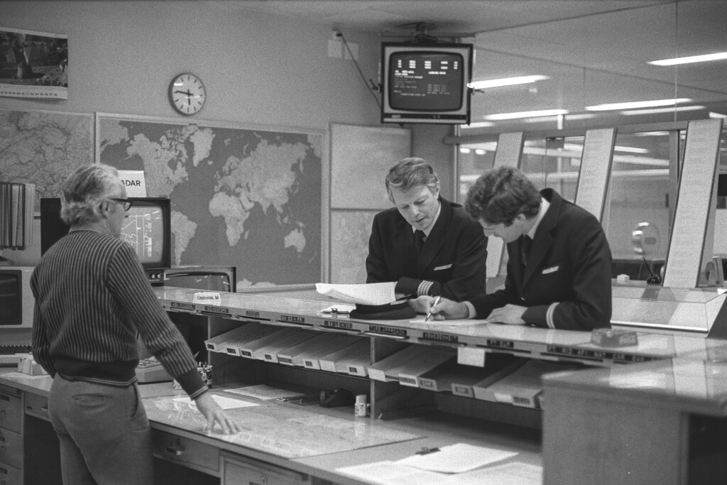
A proper and detailed planned flight can offer greater situational awareness, precision, efficiency and overall safety.
Your Planning Toolkit
Pilots use several key resources to plan a VFR flight. The most important is an aeronautical chart. These are like road maps for the sky, showing airports, terrain elevations, landmarks, navigation aids, and different types of airspace.
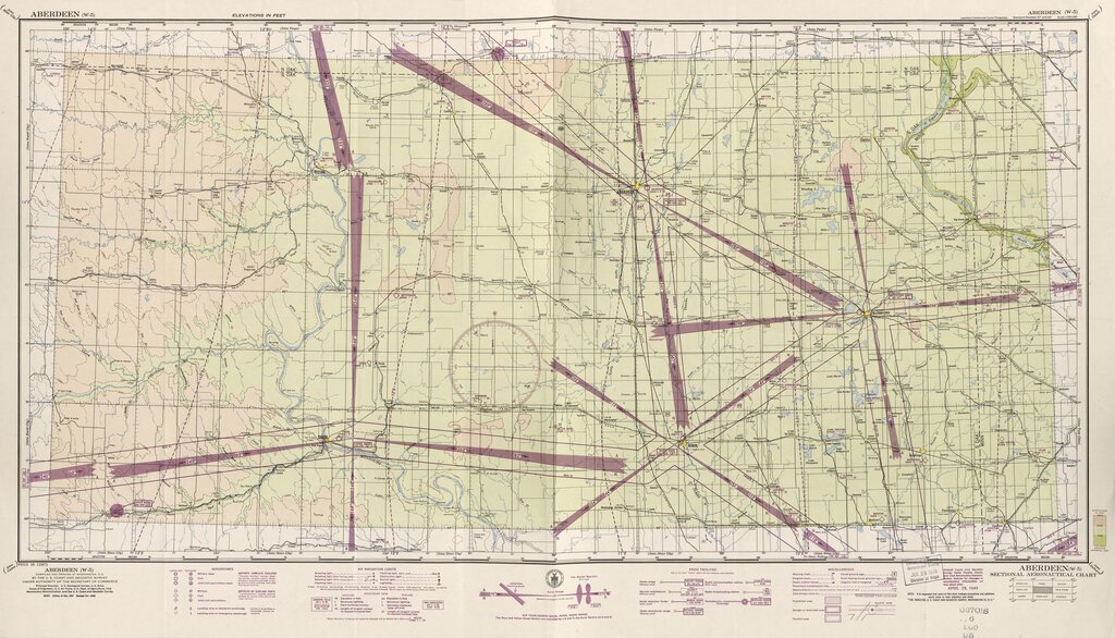
Other essential tools include:
-
Pilot's Operating Handbook (POH): This is the owner's manual for the specific aircraft you're flying. It contains critical performance data, like fuel burn rates, takeoff and landing distances, and airspeed limitations.
-
Flight Computer (E6B): This can be a physical slide rule or a digital app. Pilots use it to calculate things like fuel consumption, flight time, and the effects of wind on their course and speed.
-
Plotter: A simple plastic ruler used on paper charts to measure distances and determine the magnetic course between two points.
Today, many pilots use electronic flight bag (EFB) applications like ForeFlight or Garmin Pilot on a tablet. These digital tools combine charts, flight planning calculators, weather information, and GPS navigation into a single, powerful resource.
Basic Navigation Concepts
For VFR pilots, navigation usually boils down to two primary methods: pilotage and dead reckoning.
Pilotage
noun
Navigation by reference to fixed landmarks on the ground.
With pilotage, you simply look out the window, find landmarks like rivers, highways, or towns, and match them to your aeronautical chart to track your progress. It's the most intuitive form of navigation.
Dead reckoning is a bit more complex. It involves calculating your position by using a previously determined location (a fix), and advancing that position based upon your known speed, elapsed time, and direction. For example, if your starting point is an airport and you fly on a heading of 090 degrees (due east) at a speed of 120 knots for 30 minutes, you can calculate that you are now 60 nautical miles east of that airport. Pilots often use pilotage to confirm their dead reckoning calculations are accurate.
What is the primary principle of flying under Visual Flight Rules (VFR)?
True or False: The 'see and avoid' concept means VFR pilots are primarily responsible for watching for and maneuvering to avoid other aircraft.
These fundamental skills—planning your route, understanding your tools, and knowing how to navigate—are the bedrock of every safe and successful VFR flight.