Understanding Taiwan
Taiwan's Geography
An Island of Contrasts
Taiwan is an island of striking geographical diversity packed into a relatively small area. Located in East Asia, it sits about 180 kilometers (112 miles) off the southeastern coast of mainland China, separated by the Taiwan Strait. The main island itself is shaped like a sweet potato and covers roughly 36,000 square kilometers, making it slightly smaller than Switzerland.
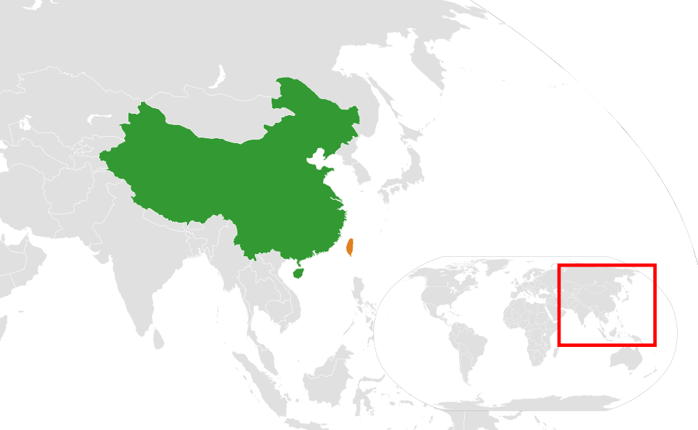
This position places it at a crossroads of major shipping lanes and at the junction of several climatic zones, giving it a unique environmental profile.
Mountains and Plains
The most dramatic feature of Taiwan's landscape is its north-to-south mountain range. A massive spine of rugged mountains runs down the eastern two-thirds of the island. These peaks were formed by the collision of two tectonic plates, the Eurasian Plate and the Philippine Sea Plate. This geological activity makes Taiwan a seismically active region with frequent earthquakes.
The Central Mountain Range contains hundreds of peaks over 3,000 meters, with the highest, Yushan (Jade Mountain), reaching 3,952 meters. This mountainous terrain is densely forested and sparsely populated, creating a wild, inaccessible interior.
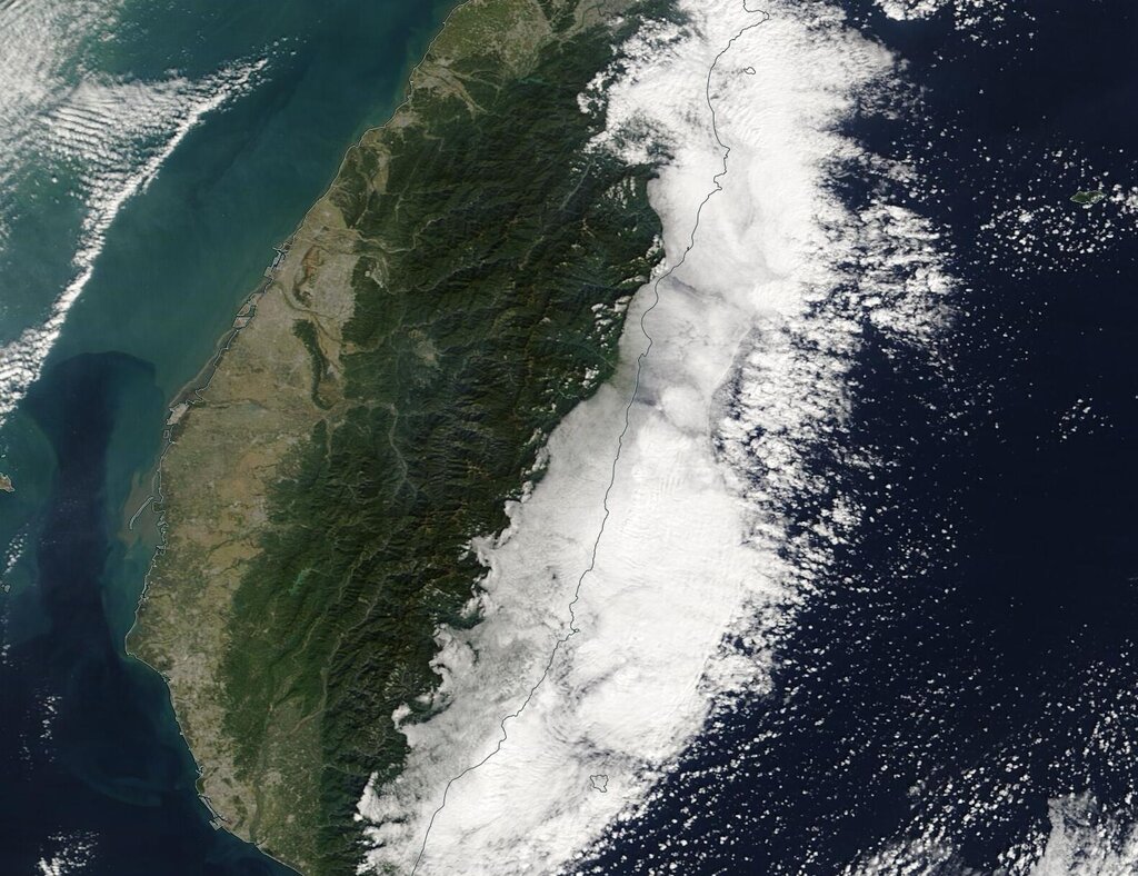
In stark contrast to the east, the western third of the island consists of flat, fertile coastal plains. This is where the vast majority of Taiwan's population lives. Rivers flowing from the mountains deposit rich alluvial soil, creating ideal conditions for agriculture and urban development. This sharp divide between the mountainous east and the flat west is the defining characteristic of Taiwan's topography.
Climate and Resources
Taiwan's climate is as varied as its terrain. It straddles the Tropic of Cancer, which divides the island into two distinct climate zones. The north experiences a humid subtropical climate with mild winters and hot, rainy summers. The south is tropical, with warm to hot conditions year-round.
This climate pattern is heavily influenced by the East Asian monsoon. The northeast monsoon brings steady rain to the north during the winter, while the southwest monsoon brings heavy rainfall to the south and central regions during the summer. Typhoons are also a common occurrence from July to October, bringing powerful winds and torrential rain that can cause flooding and landslides, particularly in the mountainous regions.
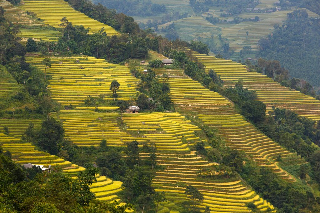
In terms of natural resources, Taiwan's greatest asset is its fertile land. The western plains have historically been the heart of its agricultural production, supporting crops like rice, sugarcane, and fruits. The mountains are a source of timber and provide the watersheds for numerous rivers, which are vital for hydroelectric power and irrigation.
However, the island has limited mineral and fossil fuel deposits. Most of its energy resources, like oil and natural gas, must be imported. This scarcity has pushed Taiwan to become a leader in technology and manufacturing, relying on human capital rather than natural wealth to drive its economy.
What is the primary geological event responsible for the formation of Taiwan's extensive mountain ranges?
The majority of Taiwan's population lives on the western coastal plains, while the eastern two-thirds of the island are sparsely populated.
This blend of mountains, plains, and a monsoon climate has shaped every aspect of life on the island, from settlement patterns to economic development.