Understanding Map Projection Distortions
Earth's Sphericity and Map Projection Challenges
The Flat-Map Problem
The Earth is a sphere. Maps are flat. This simple fact creates a fundamental challenge for anyone trying to represent our planet on a piece of paper or a screen. It’s a geometric puzzle that has no perfect solution.
Imagine trying to flatten an orange peel. You can't do it without stretching, tearing, or squishing some parts. The same principle applies to mapping the Earth.
A globe is the only truly accurate representation of the Earth, showing correct shapes, sizes, distances, and directions all at once. But globes aren't practical for carrying in your pocket or viewing a specific region in detail. We need flat maps.
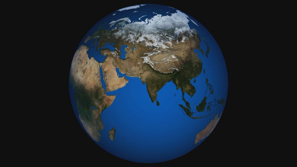
To solve this, cartographers use a technique called a map projection. A projection is a mathematical method for transferring information from the Earth's curved surface onto a flat plane. It’s a set of rules that assigns each point on the globe to a corresponding point on the map.
But it isn't without its problems: since it is mathematically impossible to "flatten" the Earth onto a rectangular sheet of paper without distorting the outline or proportions of the continents, every projection has its own set of advantages and disadvantages.
Four Kinds of Distortion
Because of the flat-map problem, every map projection introduces errors. There's no way around it. These errors are called distortions, and they typically affect one or more of four key properties: shape, area, distance, and direction.
| Property | What It Means When Distorted |
|---|---|
| Shape | The appearance of landmasses is altered. For example, a country might look more stretched out or compressed than it does on a globe. |
| Area | The relative size of landmasses is incorrect. Some regions might appear much larger or smaller than they actually are. |
| Distance | The measured distance between two points on the map may not be accurate. |
| Direction | The angle from one point to another might be wrong, making navigation difficult. |
No map can preserve all four of these properties perfectly. A map that keeps the shapes of continents correct (a conformal projection) will distort their areas. A map that preserves the areas of continents (an equal-area projection) must distort their shapes. This is the essential trade-off in cartography.
The Math Behind the Map
At its core, a map projection is a mathematical function. It takes a location on the Earth's surface, defined by its latitude () and longitude (), and transforms it into a set of Cartesian coordinates () on a flat map.
The specific equations used in this transformation determine the projection's properties and, consequently, its distortions. The geometry of this process can be visualized as projecting a light source through a transparent globe onto a surface, such as a plane, cylinder, or cone.
This geometric transformation is why distortions are unavoidable. Stretching a curved surface to lie flat inevitably changes the relationships between points. Understanding this limitation is the first step in learning to read maps critically and choose the right projection for a specific task.