Understanding Korea
Geography of Korea
A Land of Mountains
The Korean Peninsula is defined by its mountains. Around 70% of the land is covered in mountainous terrain, creating a dramatic landscape of peaks and valleys. This has shaped everything from where people live to what they eat.
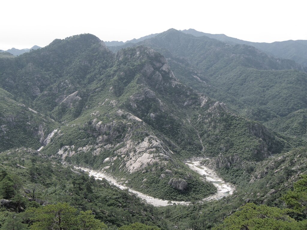
Unlike vast, flat plains, Korea's geography consists of many smaller, fertile plains nestled between these mountain ranges. Historically, this geography naturally divided the country into smaller regions, each with its own unique character.
The Spine of Korea
The most significant mountain system is the Baekdu-daegan. It's often called the 'spine' or 'backbone' of the peninsula. This massive range runs almost the entire length of the peninsula, from the towering Paektu Mountain on the northern border down toward the southern coast.
Paektu Mountain, the highest peak at 2,744 meters (9,003 ft), is a dormant volcano with a large crater lake, known as Heaven Lake, at its summit.
Branching off from this main spine are other important ranges, like the Taebaek and Sobaek mountains. The Taebaek range runs along the eastern coast, creating a steep drop to the sea and leaving only a narrow coastal plain. The Sobaek range arcs southwest, forming a natural barrier and watershed.
A Climate of Extremes
The peninsula's climate is shaped by its position next to the massive Asian landmass. This results in a continental climate with four very distinct seasons. Winters are typically long, cold, and dry, with Siberian winds sweeping down from the north. In contrast, summers are hot, humid, and rainy, influenced by moist air from the Pacific Ocean.
| Season | Typical Weather | Characteristics |
|---|---|---|
| Spring | Mild and pleasant | Cherry blossoms bloom, but yellow dust from the Gobi desert can be an issue. |
| Summer | Hot and humid | The rainiest season, with monsoon rains accounting for most of the annual precipitation. |
| Autumn | Cool and crisp | Clear skies and vibrant foliage make it a favored season. |
| Winter | Cold and dry | Often snowy, especially in the northern and mountainous regions. |
Precipitation isn't uniform across the peninsula. The southern coastal regions and Jeju Island generally receive the most rainfall, while the more sheltered interior valleys are drier. This variation in climate and rainfall has a direct impact on the types of crops that can be grown in different areas.
Living with the Land
This combination of mountains, plains, and a distinct climate has profoundly influenced how people have lived in Korea for centuries. The majority of the population has always been concentrated in the western and southern coastal plains, where the land is flatter and better suited for agriculture.
The primary crop is rice, cultivated in the fertile plains. But the diverse geography allows for a variety of other agricultural practices. The long coastline, with its countless inlets and islands, also makes fishing and aquaculture a vital part of life and the economy.
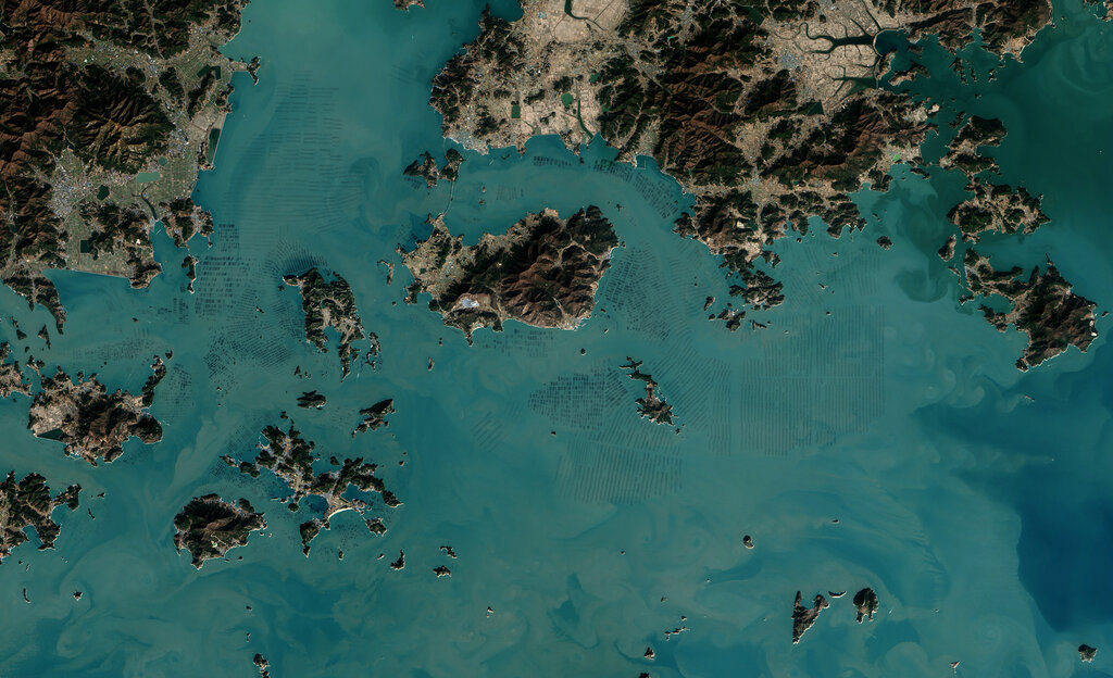
The physical geography of the Korean Peninsula is the stage on which its history and culture have unfolded. Its mountains provided natural defenses, its plains nourished its people, and its climate dictated the rhythms of life.