Thunderheads Unveiled
Cloud Formation Basics
Anatomy of a Cloud
Look up on most days, and you'll see them: floating masses of white or gray. Clouds seem simple, but they are the result of a constant, invisible process happening all around us. It all starts with water in a form you can't see.
Our atmosphere is full of water vapor, which is just water in its gaseous state. The amount of water vapor in the air is called humidity. Warm air can hold more water vapor than cold air, much like a large sponge can soak up more water than a small one. When the air holds the maximum amount of water vapor it can at a certain temperature, we say it's saturated.
From Vapor to Droplet
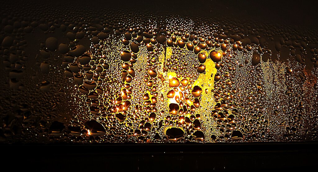
For a cloud to form, that invisible water vapor must become visible liquid water droplets or ice crystals. This transformation is called condensation. It happens when moist air cools down to a specific temperature known as the dew point.
condensation
noun
The process where water vapor (a gas) cools and changes into liquid water.
One of the main ways air cools is by rising. As a parcel of air moves higher into the atmosphere, the pressure around it decreases. This allows the air to expand, and this expansion causes it to cool down. This is called adiabatic cooling. Think of how a can of compressed air gets cold when you spray it; the gas expands rapidly and cools.
But water vapor needs a little help to condense. It needs a surface to cling to. In the atmosphere, these surfaces are tiny specks of dust, salt from ocean spray, pollen, or soot. These are called condensation nuclei.
Cloud formation requires two key ingredients: saturation and condensation nuclei.
Cloud Families
Not all clouds look the same because they form at different altitudes and under different conditions. Meteorologists classify them based on their shape and height. The three main types give us a good starting point.
| Cloud Type | Appearance | Altitude |
|---|---|---|
| Cirrus | Thin, wispy, feathery | High (above 20,000 ft) |
| Cumulus | Puffy, like cotton balls | Low to Mid (2,000 - 20,000 ft) |
| Stratus | Flat, gray sheets or layers | Low (below 6,500 ft) |
High-altitude cirrus clouds are made entirely of ice crystals because it's so cold up there. Puffy cumulus clouds are the classic fair-weather clouds, but they can grow into towering storm clouds. Stratus clouds often cover the whole sky like a blanket and can bring drizzle or light snow.
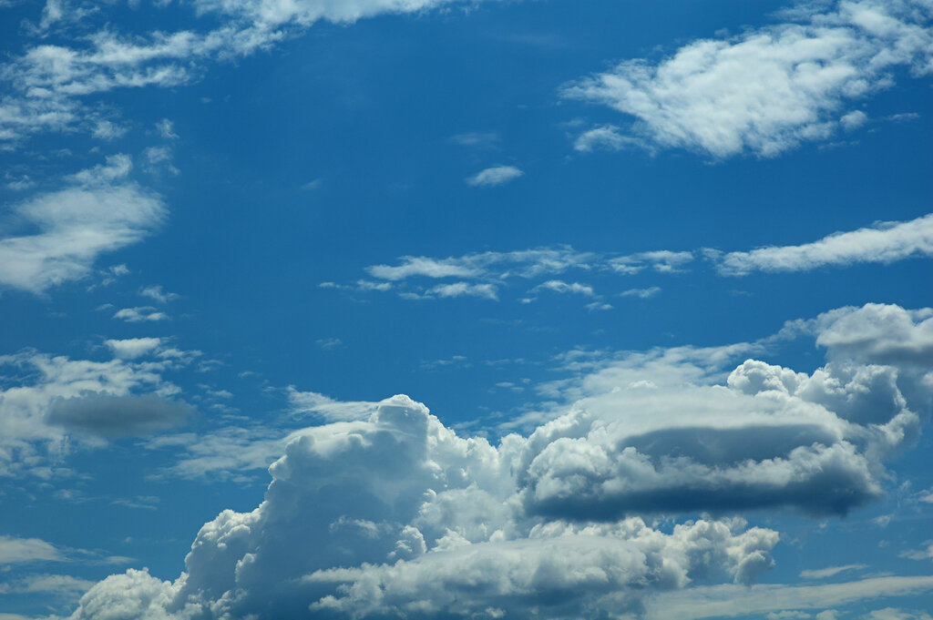
These basic types can also be combined. For example, 'nimbo' means rain, so a nimbostratus cloud is a stratus cloud that is producing rain. 'Alto' means mid-level, so altocumulus clouds are mid-altitude puffy clouds. By understanding these building blocks, you can start to read the sky and the weather it might bring.
Now, let's test your understanding of these fundamental concepts.
What is the term for the process where invisible water vapor becomes visible liquid water droplets?
The temperature at which air becomes saturated and water vapor begins to condense is called the:
Understanding these core ideas—moisture, cooling, and condensation—is the first step to understanding our planet's complex weather systems.