The Shifting Sands of National Borders
Introduction to Borders
The Lines on the Map
A border is a line that separates one political area from another. Most often, we think of them as the lines separating countries, but they also exist between states, provinces, and even cities. At its core, a national border marks the edge of a country's territory. Inside that line, a country's laws and government have authority.
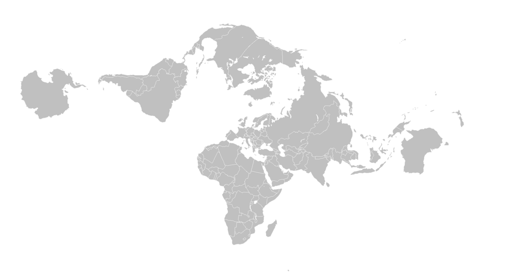
Think of it like a property line for a house. Within your yard, you can plant a garden or set up a barbecue. Your neighbor does the same in their yard. The fence between you is the border. It clarifies where your responsibility ends and theirs begins. National borders serve a similar purpose on a much larger scale. They define where a nation can collect taxes, enforce its laws, and defend its territory.
Sovereignty
noun
The authority of a state to govern itself or another state.
This concept of sovereignty is key. A border is a physical declaration of a government's power. It’s a way of saying, "Everything on this side is under our control." This authority is the foundation of the modern nation-state.
Natural and Artificial Lines
Not all borders are created equal. Some follow the contours of the land itself. These are called natural borders. They might follow a mountain range, a river, or the coastline of a sea. For centuries, these features were convenient and easy to defend, making them logical dividing lines.
For example, the Rio Grande forms a large part of the border between the United States and Mexico. The Pyrenees mountains separate Spain and France.
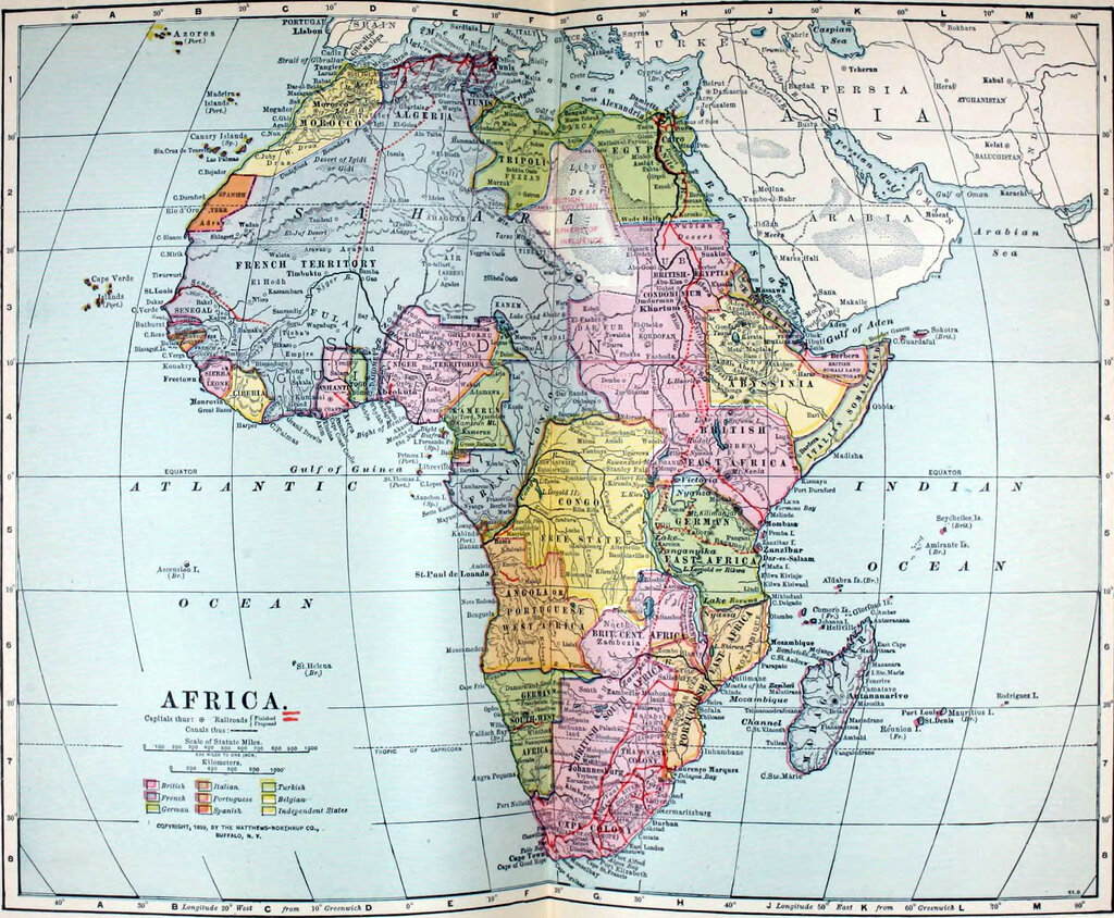
Other borders are artificial. These are lines drawn by humans that don't follow any obvious physical feature. They are often straight lines, or geometric arcs, agreed upon in treaties or imposed by outside powers. Many borders in Africa and the Middle East, for instance, were drawn by European colonial powers with little regard for the ethnic or cultural groups living there. These artificial lines often cut through communities or lump rival groups together, which can lead to conflict.
Gateways and Barriers
Borders act as both gateways and barriers. They control the flow of people and goods. At official crossings like airports and land ports of entry, governments inspect passports and check cargo. This allows them to manage immigration and facilitate international trade.
The colonial legacy – particularly the forced imposition of artificial borders that disregarded ethnic and cultural realities – disrupted natural state formations, divided families and fostered tensions that persist today.
By setting tariffs and quotas, countries use their borders to influence their economies. They can protect domestic industries by making foreign goods more expensive or encourage trade by making it easier for goods to cross. Similarly, visa requirements and immigration policies determine who can enter a country to visit, work, or live. These rules can be adjusted based on a country's economic needs, security concerns, or diplomatic relationships.
Because so much is at stake, the exact location of a border can become a source of intense disagreement. Disputes can arise over access to valuable resources like oil, water, or fertile land. They can also be fueled by historical claims or ethnic tensions. While many border disputes are resolved peacefully through diplomacy and international law, some unfortunately escalate into armed conflict.
What is the primary purpose of a national border?
The concept that a border represents a government's exclusive power within its territory is known as...
From physical rivers to lines drawn on a map, borders are fundamental to how our world is organized. They define where one country ends and another begins, shaping politics, trade, and the very identity of nations.