The Arctic Explained
Arctic Geography
Defining the Far North
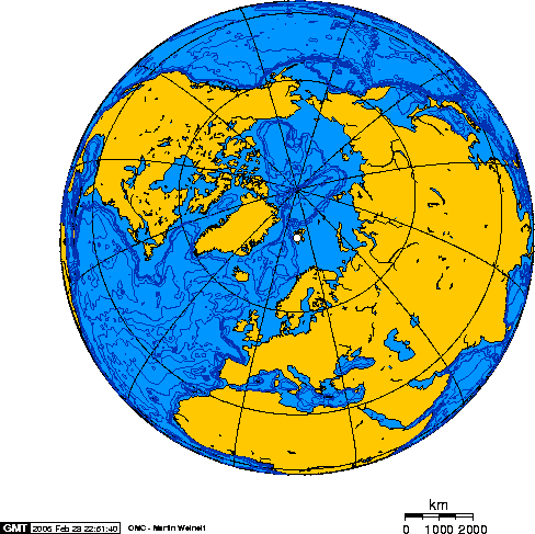
The Arctic isn't just a place of snow and ice; it's a vast region at the top of our planet. The most common way to define its boundary is the Arctic Circle. This is an imaginary line of latitude at approximately North. North of this line, there's at least one full day of sunlight in the summer and one full day of darkness in the winter.
However, geographers and scientists sometimes use other boundaries. One is the tree line, the northern limit where trees can grow. Another is based on temperature, specifically where the average temperature for the warmest month is below C (F). No matter how you draw the line, the Arctic covers parts of three continents: North America, Europe, and Asia.
Land of Ice and Tundra
The Arctic landscape is shaped by its extreme cold. Much of the land is tundra, a vast, treeless plain where the subsoil is permanently frozen. The vegetation here is low-growing, consisting of dwarf shrubs, grasses, mosses, and lichens. It's a surprisingly vibrant ecosystem, especially during the brief summer.
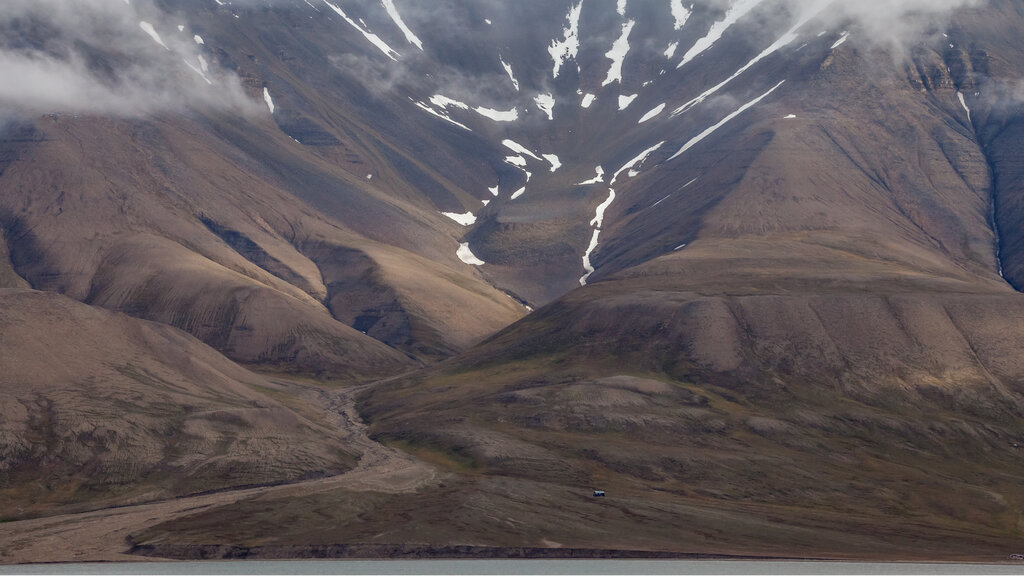
Beneath the tundra lies permafrost, a layer of soil, gravel, and sand that remains frozen year-round. The thickness of permafrost can range from less than a meter to more than 1,500 meters deep. The top layer, known as the active layer, thaws during the summer and refreezes in the winter. This frozen ground is a critical feature of the Arctic, locking away vast amounts of carbon.
permafrost
noun
A thick subsurface layer of soil that remains frozen throughout the year, occurring chiefly in polar regions.
The Arctic Ocean
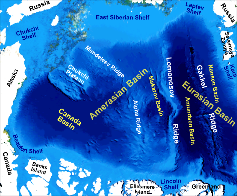
At the heart of the region is the Arctic Ocean, the smallest and shallowest of the world's five major oceans. It is almost completely surrounded by North America and Eurasia. For much of the year, it's covered by a dynamic layer of sea ice that expands in the winter and shrinks in the summer.
The ocean floor has several unique features, including continental shelves and deep basins separated by underwater ridges. The Lomonosov Ridge, for instance, is a massive underwater mountain range that divides the ocean basin. This ocean plays a crucial role in global climate by helping to regulate ocean currents and temperatures worldwide.
Arctic Nations
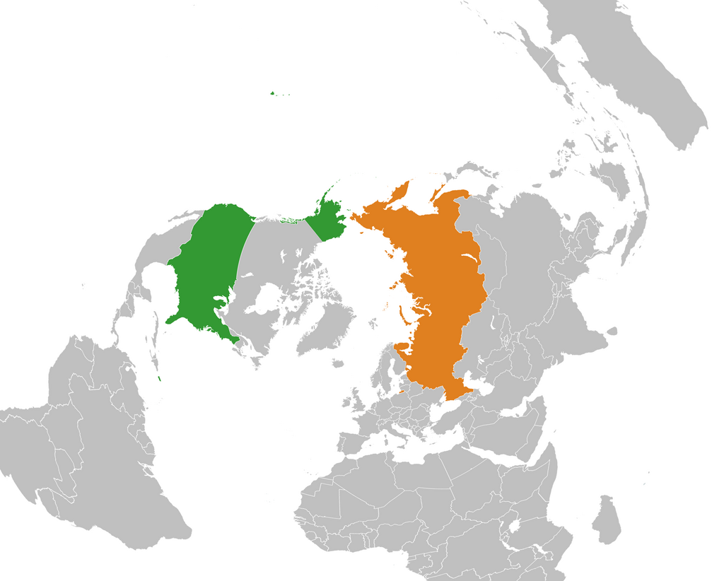
The Arctic is not a continent like Antarctica; its land is divided among several countries. Eight nations have territory within the Arctic Circle. These are known as the Arctic states. The two largest by land area are Russia and Canada.
Other Arctic states include the United States, through its state of Alaska; Denmark, through its autonomous territory of Greenland; and Norway. While Finland, Sweden, and Iceland don't have coastlines on the Arctic Ocean, parts of their territory lie within the Arctic Circle, making them Arctic states as well. These countries govern the region's land, resources, and shipping routes.
Let's check your understanding of the Arctic's unique geography.
What is the most common way to define the boundary of the Arctic region?
Which of the following best describes the landscape known as tundra?
Understanding the Arctic's geography—from its frozen soil to the ocean at its center and the nations that govern it—is the first step to appreciating this critical and rapidly changing part of our world.