Surveying Data Processing and Analysis
Surveying Data Acquisition
Gathering the Raw Data
Every map, from a simple property line survey to a complex 3D model of a city, starts with the same fundamental task: gathering accurate data. Surveying is the science of measuring and mapping our surroundings. At its core, it's about collecting precise measurements of distances, angles, and elevations. These three pieces of information are the building blocks for understanding the shape and features of the land.
Think of it like creating a dot-to-dot picture of the world. Each measured point is a single dot, and the surveyor's job is to collect enough of these dots—and know their exact positions relative to each other—to draw an accurate picture. How they collect these dots has evolved over time, from simple chains and compasses to sophisticated electronic instruments and satellites.
Classic Tools, Lasting Precision
Even with today's technology, traditional surveying instruments are still workhorses in the field because of their reliability and precision. One of the most common is the total station.
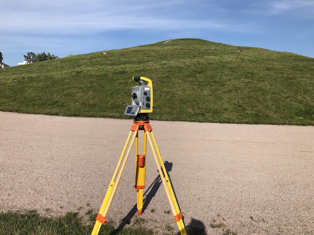
A total station is an electronic instrument that measures both angles and distances with incredible accuracy. A surveyor sets it up on a tripod over a known point, like a permanent survey marker. They then aim the instrument at a prism held by another person at the location they want to measure. The total station sends an infrared beam to the prism, which reflects it back. By timing how long the beam takes to return, the instrument calculates the distance. At the same time, it records the horizontal and vertical angles to that point. This gives the surveyor a precise 3D coordinate for the new point relative to their setup position.
Another essential tool is the level. Its job is simpler but just as important: determining elevation differences. A surveyor uses a level and a graduated measuring rod, called a level rod, to find out how much higher or lower one point is compared to another. By taking a reading on the rod at a known elevation (a benchmark) and then at a new point, the difference between the two readings reveals the difference in height.
Surveying from the Sky
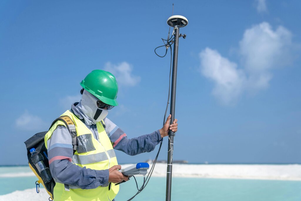
Modern technology has brought powerful new tools to surveying, allowing for faster data collection over larger areas. One of the most significant is the Global Navigation Satellite System, or GNSS. You probably know it by its most famous example: the Global Positioning System (GPS).
Consumer-grade GPS in your phone can tell you where you are within a few meters, but professional survey-grade GNSS receivers can achieve accuracy down to the centimeter. They work by receiving signals from multiple satellites orbiting the Earth. By calculating the distance to at least four satellites, the receiver can trilaterate its precise position on the globe. Surveyors use a base station at a known location to correct for atmospheric distortions, which allows for this incredible level of precision.
Another game-changer is the use of Unmanned Aerial Vehicles (UAVs), or drones. Drones are used for photogrammetry, the science of making measurements from photographs. A drone flies a pre-programmed grid pattern over an area, taking hundreds or thousands of overlapping high-resolution photos.
By comparing the same feature across multiple photos, specialized software can create detailed 3D models and topographic maps of the landscape.
This method is incredibly efficient for surveying large or inaccessible areas, like construction sites, mines, or coastlines. It captures a massive amount of data quickly, providing a complete digital snapshot of the area at a specific moment in time.
Ensuring Data You Can Trust
Collecting data is only half the battle. A surveyor must constantly validate their measurements to ensure they are accurate. Garbage in, garbage out is a crucial rule in surveying. A small error at the beginning can lead to big problems down the line.
One common validation technique is closing a loop. If a surveyor measures a series of points that eventually return to the starting point, the final measurement should match the original coordinates perfectly. Any difference, called a misclosure, indicates an error somewhere in the measurements. Small misclosures are expected and can be adjusted, but large ones mean the survey needs to be re-done.
Another method is to take redundant measurements. This means measuring a point, angle, or distance more than once, often using a different technique or from a different location. If the measurements agree, it builds confidence in the data's accuracy. If they don't, it signals a problem that needs to be investigated before moving on.
By combining trusted tools with rigorous validation, surveyors collect the high-quality raw data that forms the foundation of every accurate map, model, and boundary line.