Survey Engineering Essentials
Introduction to Surveying
What is Surveying?
At its heart, surveying is the science of figuring out where things are. It’s the process of accurately determining the positions of points and the distances and angles between them. Think of it as creating a precise map of a specific area, whether it’s a small backyard or an entire continent.
Surveying
noun
The art and science of determining the terrestrial or three-dimensional positions of points and the distances and angles between them.
The main objective is to collect data about the physical world that can be used for mapping, planning, and construction. Surveyors provide the foundational measurements that architects, engineers, and city planners rely on to do their jobs. Without their work, building a bridge or even defining a property line would be based on guesswork.
A Quick Trip Through Time
Surveying isn't a new field. Its roots go back thousands of years. The ancient Egyptians were among the first to use it for a very practical reason. Each year, the Nile River would flood, washing away the markers that defined farmers' fields. When the waters receded, surveyors would come in to re-establish the property boundaries, ensuring a fair division of land.
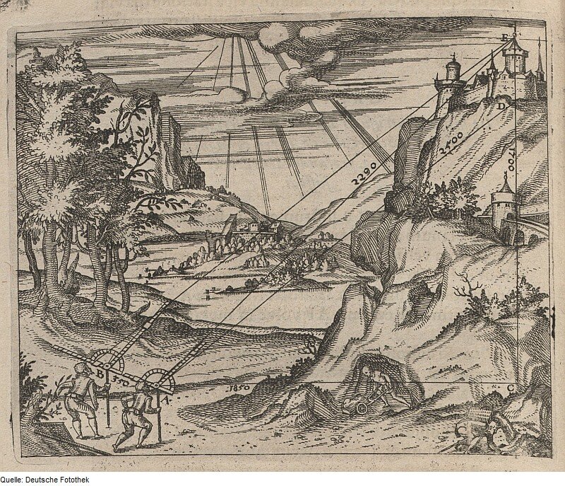
Over the centuries, civilizations like the Romans used surveying to build their impressive infrastructure, from perfectly straight roads to massive aqueducts that carried water for miles. As exploration and trade grew, so did the need for accurate maps of coastlines, territories, and shipping routes. This pushed the development of more sophisticated techniques and instruments.
Surveying in Action
Today, surveying is a critical part of many industries. You can see its impact all around you.
In construction, surveyors are often the first and last people on a job site. Before any ground is broken, they map the land and stake out the exact locations for buildings, roads, and utilities. After construction is finished, they verify that everything has been built according to the plan.
When it comes to land management, surveyors determine legal property boundaries. This work, sometimes called cadastral surveying, is essential for buying and selling real estate and for resolving ownership disputes. They also create the detailed maps used for urban planning and environmental protection.
For major engineering projects, precision is everything. Building a tunnel through a mountain or a bridge across a wide river requires incredibly accurate measurements to ensure both ends meet perfectly in the middle. Surveyors provide the data that makes these massive undertakings possible.

Different Surveys for Different Jobs
Not all surveys are the same. The methods and goals change depending on the project. Here are a few common types:
Land Surveys: These focus on establishing property lines and corners. The result is a legally recognized map that defines the boundaries of a piece of land.
Topographic Surveys: These go beyond simple boundaries to map the three-dimensional features of the land. They show the shape of the terrain, including hills, valleys, and slopes, by using contour lines. They also locate natural and man-made features like rivers, trees, buildings, and roads.
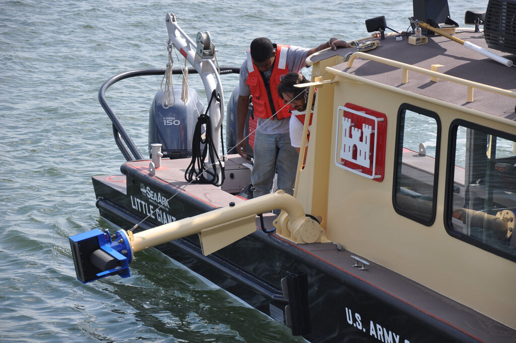
Hydrographic Surveys: As the name suggests, these are focused on bodies of water. Surveyors map the shoreline and measure the depth of oceans, rivers, and lakes. This information is crucial for creating nautical charts for safe navigation, managing coastal resources, and planning offshore construction projects.
Geodetic Surveys: These are high-precision surveys covering very large areas. Unlike other types, geodetic surveys must account for the curvature of the Earth. They provide a framework for other surveys and are used for projects like monitoring tectonic plate movements and establishing national coordinate systems.
What is the fundamental purpose of surveying?
According to historical accounts, why was surveying essential for the ancient Egyptians along the Nile River?
This foundation in what surveying is and why it matters sets the stage for exploring the specific tools and techniques that make modern measurement possible.