Site Development Layout Design
Site Analysis
Reading the Land
Before breaking ground on any project, you have to understand the ground itself. This process is called site analysis. It’s like getting to know a person before becoming friends—you learn their quirks, their history, and what makes them unique. For a piece of land, this means studying its natural shape and features.
The first step is often a topographical survey. This survey measures the land's elevation, creating a detailed map of its slopes, valleys, and hills. It identifies natural features like streams and large rock outcroppings, as well as man-made ones like existing roads or fences. The result is a contour map, where lines connect points of equal elevation. Tightly packed lines mean steep slopes, while widely spaced lines indicate flatter terrain.
This map isn't just a pretty picture. It tells designers where to build and where not to. A steep slope might be unstable or expensive to build on, but it could offer fantastic views. A low-lying area might be prone to flooding, making it better suited for a park or a pond than for a house. Understanding the topography is the foundation of smart, safe, and efficient design.
Working with Nature
Beyond the shape of the land, its climate plays a huge role. Climate analysis examines patterns of sun, wind, rain, and temperature. Architects study the sun's path across the site throughout the day and year. This helps them orient buildings to capture sunlight for warmth and light in the winter while using overhangs or trees to provide shade during the hot summer months.
Prevailing winds are another key factor. A building can be designed to block cold winter winds or to capture cool summer breezes for natural ventilation. Knowing rainfall patterns helps in designing effective drainage systems to prevent erosion and manage stormwater runoff. This might involve creating rain gardens or permeable pavements that allow water to soak back into the ground naturally.
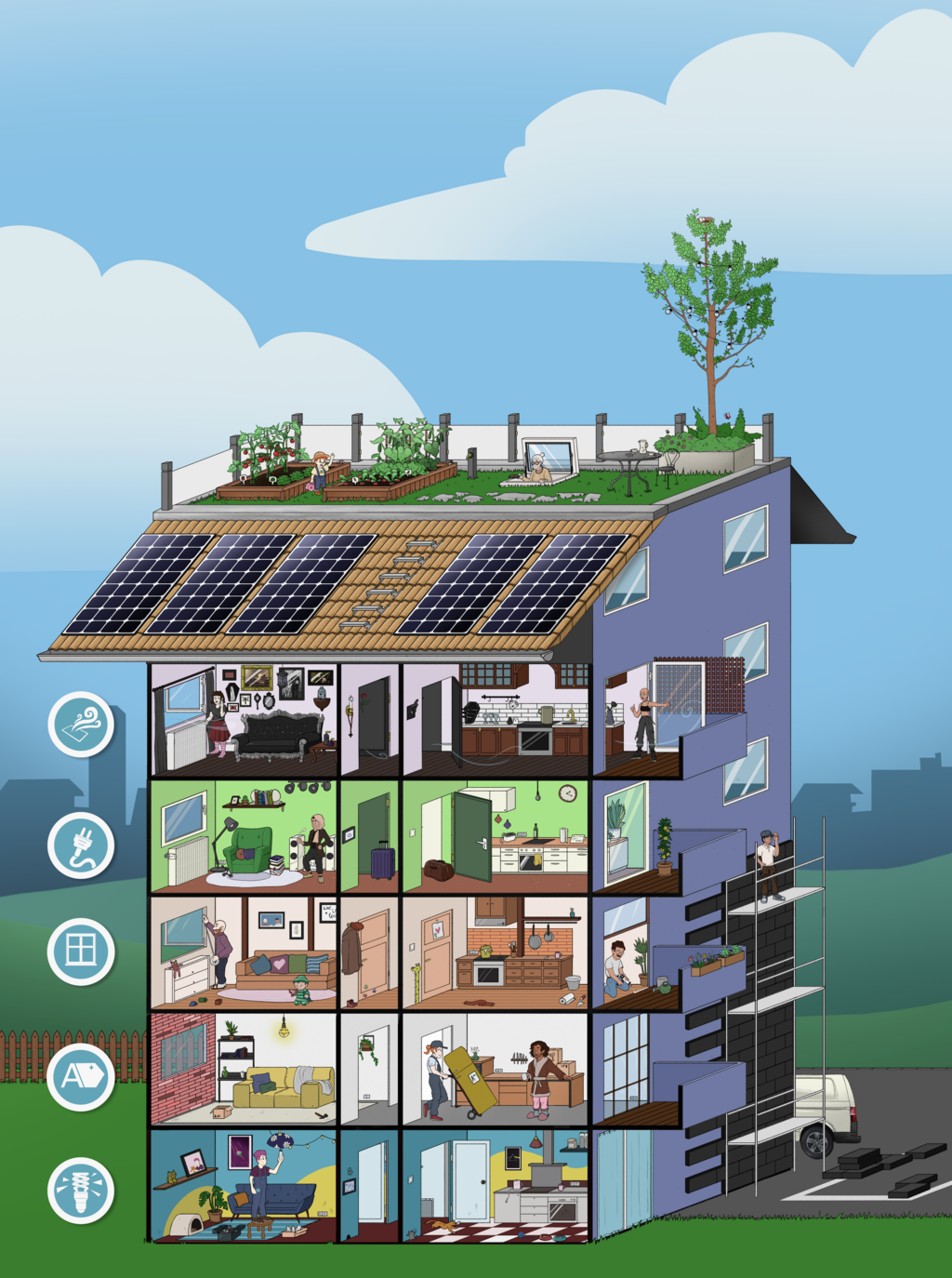
Good design doesn't fight the climate; it uses it to its advantage. This reduces energy costs and creates more comfortable living spaces.
Plugging In
A site doesn't exist in a vacuum. It needs connections to the outside world. Assessing existing infrastructure means checking for access to essential utilities. Are there water mains, sewer lines, and electrical grids nearby? What about internet and gas lines?
The proximity and capacity of this infrastructure are critical. A site right next to a major road with high-capacity water and sewer lines is much easier to develop than a remote parcel that requires miles of new pipes and roads. The analysis involves not just locating these services but also confirming they can support the new development without being overloaded.
| Infrastructure | Key Questions to Ask |
|---|---|
| Roads & Access | Is there direct access? Can it handle construction traffic? |
| Water Supply | Where is the nearest main? Is the pressure and volume sufficient? |
| Sewer & Stormwater | Are there existing lines? What is their capacity? |
| Electricity & Gas | How close is the connection point? Can the grid support the new load? |
| Communications | Is high-speed internet available? Where are the lines? |
Failing to assess infrastructure properly can lead to massive, unexpected costs and delays. It's the difference between a project that's feasible and one that's a financial non-starter.
Fitting into the Neighborhood
Finally, a site analysis looks beyond the property lines to the surrounding area. This contextual analysis considers the character of the neighborhood. Is it residential or commercial? Historic or modern? What are the local zoning laws and building codes? These regulations dictate what can be built, how tall it can be, and how far it must be set back from the street.
The context also includes the community. Where are the nearby schools, parks, and shops? How do people get around—by car, bike, or on foot? A successful project feels like it belongs. It complements the existing fabric of the neighborhood and enhances the community, rather than clashing with it.
Every successful project starts with establishing a holistic and comprehensive approach and framework: identifying a “prototypical” or optimal site, space and facility solution through strategic planning.
By weaving together all these threads—topography, climate, infrastructure, and context—a site analysis reveals the opportunities and constraints of a piece of land. It provides a roadmap for designers, helping them make informed decisions that lead to buildings and spaces that are functional, sustainable, and well-integrated into their environment. This careful, upfront work is what transforms a simple plot of land into a place where people can thrive.