Single Object Classification in Remote Sensing
Introduction to Remote Sensing
Seeing Without Touching
How can we map a wildfire from above or track the health of crops across an entire continent? The answer is remote sensing. In simple terms, it's the science of getting information about an object or area from a distance, typically from aircraft or satellites.
Think of it like taking a picture. Your camera captures light reflecting off a scene to create an image. Remote sensing works on a similar principle, but often with much more advanced sensors. These sensors can detect energy that our eyes can't see, giving us a far richer picture of the world around us.
Beyond Visible Light
Our eyes are amazing sensors, but they only see a tiny slice of the energy that's all around us. This energy travels in waves and is organized by wavelength into the electromagnetic (EM) spectrum. It includes everything from high-energy gamma rays and X-rays to microwaves and long radio waves.
Remote sensing instruments are designed to see across this spectrum. By capturing energy in different bands, they can reveal details invisible to the naked eye. For instance, a sensor that detects near-infrared light can tell the difference between healthy and stressed vegetation, because healthy plants reflect that type of light very strongly.
Every surface on Earth reflects and absorbs energy in a unique way. Water, soil, buildings, and forests all have a distinct spectral signature, like a fingerprint. Remote sensing is the art of reading these signatures to understand what's happening on the ground.
Active vs. Passive Sensing
Remote sensors can be grouped into two main categories: passive and active.
Passive sensors are like a standard camera. They rely on a natural source of energy, usually the sun. They simply record the solar energy that is reflected off the Earth's surface. Most of the satellite images you've seen are created using passive sensors.
Active sensors provide their own energy source. They send out a pulse of energy, like a flash from a camera or a beep from a sonar system, and then measure the energy that bounces back. Radar is a common type of active remote sensing. The big advantage is that it can work day or night and can often "see" through clouds that would block a passive sensor.
Each method has its strengths. Passive sensing gives us data that often looks like a natural photograph, while active sensing can provide unique information, such as precise surface elevation.
Platforms in the Sky
Remote sensors need a ride. They are mounted on various platforms to get a bird's-eye view of the Earth.
Satellites orbit our planet, collecting data continuously and on a global scale. Programs like Landsat have provided an unbroken record of Earth's surface for decades, allowing scientists to monitor long-term changes like deforestation and urban growth.
Aircraft, including airplanes and helicopters, are used for more targeted, high-resolution surveys. They can fly on-demand over specific areas, making them ideal for tasks like disaster assessment or detailed mapping of a single city.
Drones (Unmanned Aerial Vehicles, or UAVs) are the newest players. They are perfect for hyper-local, low-cost data collection. A farmer might use a drone to check on individual fields, or an ecologist might use one to monitor a small, sensitive habitat.
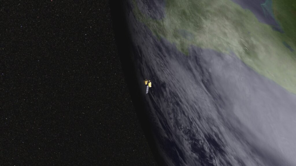
Each platform offers a different trade-off between coverage area, detail, and cost. Choosing the right one depends on the problem you're trying to solve.
From tracking hurricanes and managing natural resources to urban planning and agriculture, the applications of remote sensing are vast and growing. By translating raw energy data into meaningful information, this technology helps us understand and protect our changing planet.
Now, let's check your understanding of these core concepts.
Which of the following best defines remote sensing?
An active remote sensing system, like radar, can operate effectively at night.
By mastering these fundamentals, you're ready to explore how this data is analyzed and turned into powerful insights.