Robotics Point Cloud Processing with C++
Introduction to Point Clouds
Seeing the World in 3D
Humans see the world in three dimensions without much thought. We understand depth, shape, and distance intuitively. For a robot to navigate a room, pick up an object, or build a map, it needs a similar ability. But how does a machine perceive the 3D world? One of the most common ways is by using a point cloud.
Point Cloud
noun
A large collection of data points in a three-dimensional coordinate system. Each point represents a single location on the external surface of an object or environment, defined by its X, Y, and Z coordinates.
Imagine standing in a dark room and throwing thousands of tiny, glowing paintballs in every direction. When they hit a surface—a chair, a wall, a table—they stick and continue to glow. If you could see all those glowing dots at once, you’d have a ghostly, three-dimensional outline of the room and everything in it. That’s the basic idea of a point cloud.
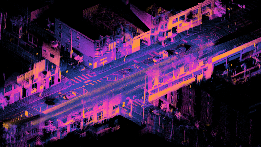
Each point in the cloud is just a coordinate (). By itself, a single point isn't very useful. But when you have millions of them, they form a recognizable shape. A robot can analyze this shape to identify objects, find flat surfaces to drive on, and avoid obstacles.
How Robots Create Point Clouds
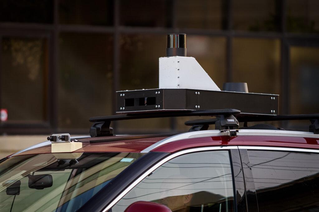
Robots don't use paintballs, of course. They use specialized 3D sensors to gather this data. These sensors measure the distance to objects in their field of view in many different directions, very quickly. The three most common types are LiDAR, stereo cameras, and structured light sensors.
| Sensor Type | How It Works | Common Uses |
|---|---|---|
| LiDAR | Emits pulses of laser light and measures the time it takes for the light to bounce back. | Self-driving cars, aerial mapping |
| Stereo Cameras | Uses two cameras to capture slightly different images of the same scene, calculating depth from the differences. | Obstacle avoidance, object grasping |
| Structured Light | Projects a known pattern of light (like a grid or stripes) onto an object and analyzes the pattern's distortion. | 3D scanning, facial recognition |
LiDAR (Light Detection and Ranging) is extremely accurate and can work over long distances, which is why it's a favorite for autonomous vehicles that need to see the road far ahead. Stereo cameras mimic human vision and are a lower-cost way to perceive depth, often used on smaller robots. Structured light sensors are great for capturing detailed, close-range 3D models of objects.
Putting Point Clouds to Work
Once a robot has a point cloud, it has a digital snapshot of its surroundings. This data is the foundation for several critical robotics tasks.
Mapping: By stitching together many point clouds taken from different positions, a robot can build a comprehensive 3D map of an entire building or outdoor area. This is essential for navigation.
Object Recognition: The robot can analyze clusters of points to identify shapes. It might recognize a flat plane of points as a floor, a vertical plane as a wall, or a cylindrical cluster as a cup to be picked up.
Navigation: With a map and the ability to recognize objects, a robot can plan a path from point A to point B, all while avoiding obstacles it detects in its real-time point cloud data.
From warehouse robots that navigate aisles to autonomous drones that inspect infrastructure, point clouds provide the fundamental environmental awareness these machines need to operate safely and effectively.
Ready to check your understanding?
What is the fundamental purpose of a point cloud for a robot?
A single point within a point cloud primarily represents what?
Understanding point clouds is the first step in seeing how robots perceive and interact with the physical world. It’s a simple concept—a collection of dots—that enables incredibly complex behaviors.