RGB and Point Cloud Fusion
Introduction to Multimodal Fusion
More Than Meets the Eye
When you cross a street, you don't just use your eyes. You listen for cars, feel the vibration of an approaching truck, and maybe even smell the exhaust fumes. You naturally combine information from different sources, or modalities, to build a complete picture of your surroundings. This helps you make a better, safer decision about when to cross.
In the world of AI, this same idea is called multimodal fusion. It’s the process of combining data from different modalities—like images, text, audio, or 3D scans—to achieve a more accurate and robust understanding of a situation.
Think of it as teamwork for data. Each type of data brings its own strengths to the table, and by combining them, we get a result that's greater than the sum of its parts.
This approach is powerful because a single data source often tells an incomplete story. Fusing them helps fill in the gaps, leading to smarter and more reliable systems, from self-driving cars to medical diagnostics.
Two Key Players
Let's focus on two common modalities in computer vision: standard images and 3D point clouds.
An RGB image is just a regular digital photo. It’s a 2D grid of pixels, where each pixel has a specific Red, Green, and Blue value that creates its color. Images are fantastic for capturing rich details like texture, color, and patterns. If you want to know if a car is red or blue, or if a road sign has a stop sign shape, an image is perfect.
However, images are flat. They lack a true sense of depth. You can guess how far away something is, but you can't measure it precisely from a single photo.
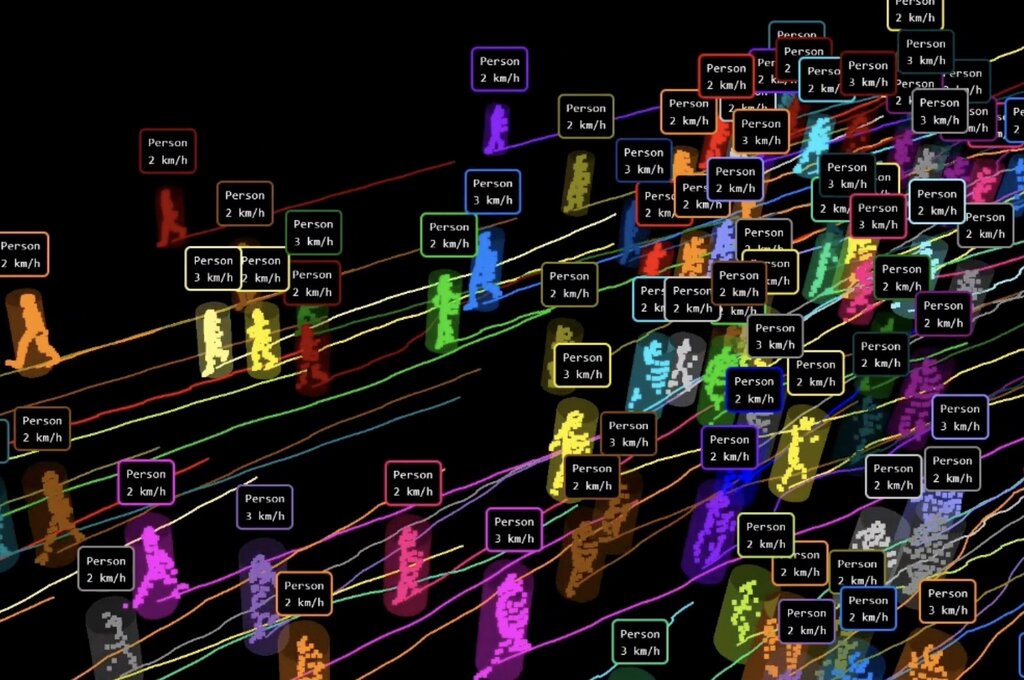
A 3D point cloud is different. It’s not a flat picture but a collection of data points scattered in three-dimensional space. Each point has an coordinate, defining its exact position. These are often captured by LiDAR sensors, which use lasers to measure distances.
Point clouds excel at capturing the geometry and structure of a scene. They provide precise depth information, making it easy to measure the size of objects and the distances between them. Their weakness? They often lack the rich color and texture we see in an RGB image.
Challenges and Payoffs
Fusing these two data types isn't as simple as layering them on top of each other. Several challenges stand in the way.
First, there's the issue of calibration. You need to perfectly align the 2D image with the 3D point cloud so that a pixel in the image corresponds to the correct point in space. This requires knowing the exact position and orientation of the camera and the LiDAR sensor relative to each other.
Next, the data is structured differently. An image is a dense, ordered grid, while a point cloud is an unordered, often sparse, set of points. Finding an effective way to process these dissimilar structures together is a key problem.
Finally, the data is captured at different rates and times. A camera might capture 30 frames per second, while a LiDAR scanner might spin 10 times per second. Synchronizing this information is crucial for understanding dynamic scenes.
So fusion is about bringing things together.
Despite these hurdles, the payoff is enormous. By combining the color and texture of an RGB image with the precise geometry of a point cloud, an AI system can understand a scene with far greater accuracy.
A self-driving car, for example, can use an image to identify a distant object as a pedestrian and use the point cloud to measure their exact distance and speed. This allows it to make safer, more informed decisions.
This fusion of data provides a richer, more detailed, and more reliable perception of the world, moving us closer to building machines that can see and understand their environment as well as, or even better than, we can.