Residential Construction and Project Management
Site Analysis and Preparation
Reading the Land
Once a plot of land is chosen, the real work begins. Moving from a survey to a buildable site requires a deep understanding of what lies beneath the surface. The foundational document for this process is the geotechnical report. This isn't just a summary of dirt types; it's a detailed analysis that dictates the home's foundation, drainage strategy, and overall site plan.
Engineers take soil borings at multiple points across the site to determine composition, density, and moisture content. They identify the depth of the water table and locate any bedrock. This data culminates in a critical calculation: the soil's bearing capacity—its ability to support the weight of the structure without shifting or settling.
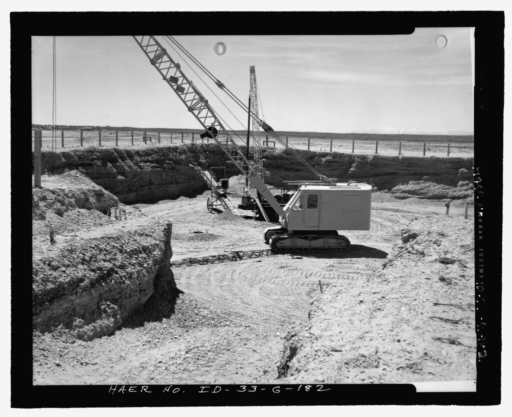
Conducting a geotechnical study is often necessary to assess soil properties, including bearing capacity and stability.
A low bearing capacity might mean the initial foundation design is inadequate, forcing a switch to more expensive options like deep piles or engineered fill. The report also flags potential issues like expansive clays, which swell with moisture and can crack foundations over time. Ignoring the geotechnical report is like building a house on a foundation of guesswork.
Shaping the Site
With the subsurface understood, attention turns to the surface. A topographical survey maps the contours of the land, providing the data needed for a grading plan. The primary goal of grading is to control water. Every residential site must be sloped to direct rainwater and meltwater away from the foundation, preventing leaks and structural damage.
The ideal is a gentle slope of at least 2-5% for the first ten feet away from the house. Creating this often involves a process called cut and fill balancing. Earth is excavated from high spots (cut) and used to build up low spots (fill). A well-designed plan minimizes the need to haul dirt off-site or bring new fill in, which saves significant time and money.
During grading, erosion control is critical. Exposed soil is vulnerable to being washed away by rain. Installers use measures like silt fences, straw wattles, and temporary seeding to keep soil on the site and out of waterways until permanent landscaping is established.
Connecting to the Grid
A site plan must also function as a map for vital services. It precisely locates the tie-in points for water, sewer, and electrical grids. The routes for these utility lines are carefully planned to avoid conflicts and minimize trenching distance. For rural sites without municipal sewer service, a is mandatory. This test determines how quickly water drains through the soil, which dictates whether a conventional septic system is feasible.
Finally, the plan must respect legal boundaries. This includes property line setbacks—minimum distances the structure must be from the property edges—and easements. An easement grants a party, often a utility company, the right to access a portion of the property. Building over an easement can lead to a forced demolition if the utility needs to service its lines. These constraints are non-negotiable and define the buildable envelope of the site.
Successful site preparation translates these technical reports and legal constraints into a physical reality, creating a stable, dry, and serviceable foundation for the home to come.
What is the primary purpose of a geotechnical report in site preparation?
A site's geotechnical report indicates a low soil bearing capacity. What is the most likely consequence for the construction project?