PostGIS Geographic Data Management
Introduction to Spatial Databases
What Makes a Database Spatial?
Think about a simple list of addresses. You can store them in a standard database, just like you would with names or phone numbers. But what if you wanted to ask questions like, "Which of these addresses are within a 10-minute walk of each other?" or "Which addresses are inside this specific neighborhood boundary?" A regular database would struggle. It sees addresses as just strings of text.
This is where spatial databases come in. They are specifically designed to store, query, and manage geographic data. Instead of just storing coordinates as numbers, a spatial database understands the relationships between them. It knows what a point, a line, or a polygon represents in the real world, allowing it to answer complex location-based questions efficiently.
A spatial database doesn't just store location data; it understands it. It can analyze the position, shape, and relationships of geographic features.
Key Components
Three core features give spatial databases their power: special data types, intelligent indexing, and powerful functions.
1. Spatial Data Types
While a traditional database uses types like TEXT, INTEGER, and DATE, a spatial database adds geometric types. These represent physical shapes and locations.
For example, you could store the location of a specific tree as a POINT, a river as a LINESTRING, and the boundaries of a national park as a POLYGON. Using these native types is far more effective than just storing pairs of latitude and longitude numbers.
2. Spatial Indexing
Imagine trying to find a specific house in a city by checking every single address one by one. It would take forever. You’d probably look at a map, find the right neighborhood, then the right street, and then the house. A spatial index works in a similar way.
It's a special data structure that organizes geographic data so it can be searched quickly. Instead of scanning an entire table (which could contain millions of points), the database uses the index to rapidly narrow the search down to a small, relevant area. This makes queries like "find all cafes within this city block" incredibly fast.
3. Spatial Functions
These are the specialized commands or "verbs" that let you analyze spatial data. They are the tools you use to ask geographic questions. While a standard database has functions like SUM() or AVG(), a spatial database has functions that understand geometry.
| Function | Question it Answers | Example |
|---|---|---|
ST_Distance() | How far apart are two objects? | What is the distance between my office and the nearest train station? |
ST_Contains() | Is one object completely inside another? | Which national parks contain lakes? |
ST_Intersects() | Do two objects touch or cross each other? | Which properties will this new proposed highway pass through? |
ST_Buffer() | What is the area within a certain distance of an object? | Show me everything within 500 meters of this pipeline. |
Real-World Applications
The power of combining these components opens up a huge range of possibilities. Spatial databases are the engine behind many applications we use every day.
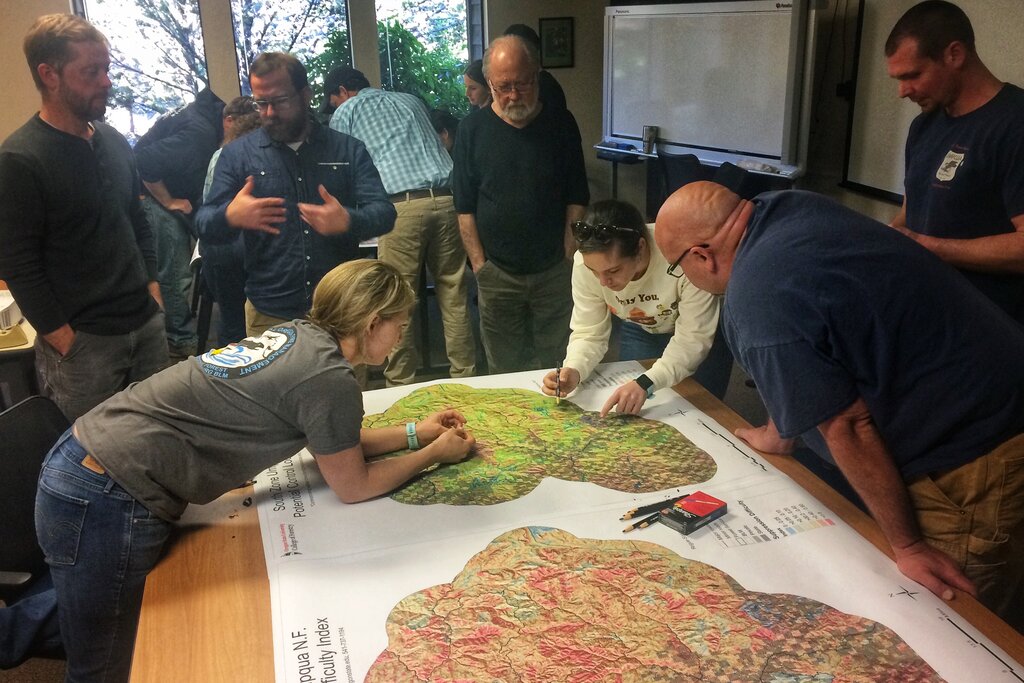
Here are a few examples:
- Logistics and Delivery: A courier service can use
ST_Distance()to find the closest driver to a pickup location and calculate the most efficient delivery routes. - Environmental Management: A conservation agency can map out wildlife habitats (
POLYGONs) and analyze how they overlap with proposed construction sites (ST_Intersects()). - Ride-Sharing Apps: When you request a ride, the app uses a spatial query to find all available cars within a certain radius (
ST_Buffer()) of your location (POINT). - Public Health: Researchers can map disease outbreaks, identify clusters, and analyze their proximity to environmental factors like water sources.
By treating location as a primary piece of information, not just a pair of numbers, spatial databases provide powerful tools for understanding our world.
What is the primary advantage of a spatial database compared to a standard database for handling geographic data?
Which spatial data type would be most appropriate for representing the boundary of a city park?