Phone Intelligence and Digital Tracking
Network Location Fundamentals
Locating Beyond Satellites
Your phone's location isn't just determined by satellites. The cellular network itself has several clever ways to find you, no GPS required. This is crucial for emergency services and for providing location data when you're indoors or in a dense city where a clear sky view is impossible.
People often use the word "triangulation" to describe this process, but the more accurate term is trilaterations. Triangulation involves measuring angles to determine a position, like surveyors do. Cellular networks, however, primarily measure distances. By calculating your device's distance from three or more cell towers, the network can pinpoint your location where those distances intersect.
Trilateration’s dependence on distance measurements has made it integral to technologies like GPS and cellular network positioning.
The Network's Toolbox
To measure those distances, mobile network operators (MNOs) rely on two key metrics from your phone's signal.
Received Signal Strength Indicator
noun
A measurement of the power present in a received radio signal.
The first is the Received Signal Strength Indicator (RSSI). It's simple: the stronger your phone's signal is at the cell tower, the closer you are presumed to be. It's like hearing a shout, the louder it is, the nearer the source. RSSI provides a rough estimate of distance, but it can be affected by obstacles like buildings and trees that weaken the signal.
A more precise metric is Timing Advance (TA). This measures the tiny amount of time it takes for a signal to travel from your phone to the tower and back again. Since radio waves travel at the speed of light, a constant, the network can convert this round-trip time into a very accurate distance. Combining TA measurements from multiple towers gives a reliable location.
From Kilometers to Meters
The accuracy of network-based location has improved dramatically. In the 2G and 3G eras, the primary method was using the Cell ID. This simply identified which tower and which of its sectors your phone was connected to. Since a single cell sector can cover several square kilometers in a rural area, this was a very coarse location.
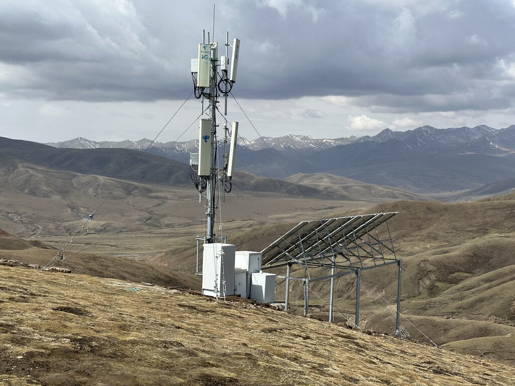
With 5G, things have become much more precise thanks to a technology called beamformings. Instead of broadcasting a signal in a wide cone, 5G base stations can form a narrow, concentrated beam of radio waves and aim it directly at a specific device. By knowing the exact direction of this beam, along with the distance calculated from Timing Advance, the network can pinpoint a device's location with far greater accuracy, often down to a few meters.
The Operating System's Trick
Mobile Network Operators aren't the only ones doing location tracking. Your phone's operating system, like Apple's iOS or Google's Android, has its own method that is often faster than GPS and works well indoors: Wi-Fi mapping.
Over the years, companies like Google and Apple have built enormous databases that map the location of millions of Wi-Fi networks around the world. They do this by cross-referencing a Wi-Fi network's unique identifier, its BSSIDs, with GPS data. This data is often collected by their own mapping vehicles or crowdsourced from users' phones.
When your phone needs its location, it scans for nearby Wi-Fi networks. It sends the list of BSSIDs it sees to Apple's or Google's servers. The server then looks up those BSSIDs in its database, triangulates a position based on the signal strengths of the known networks, and sends a coordinate back to your phone. This process is incredibly fast and can provide a precise location fix in places where GPS signals can't reach.
Ultimately, your phone uses a hybrid approach. It fuses data from GPS, cellular networks (RSSI and TA), and Wi-Fi databases to give you the fastest, most accurate location possible in any given situation.
Ready to test your knowledge on how your location is found without GPS?
While often called 'triangulation', what is the more accurate term for the method cellular networks use to determine your location by measuring distances from multiple towers?
Which of these two cell network metrics is more precise for calculating distance because it is less affected by physical obstacles like buildings?
These network and OS-level techniques are powerful tools that keep us located and connected, even when satellites are out of sight.