Northland Road Trip Adventure
Understanding Northland's Geography
Welcome to Northland
Northland is New Zealand's northernmost region, a long, narrow peninsula often called the "Winterless North." Its geography is defined by two dramatically different coastlines. On the west, the Tasman Sea creates a rugged, windswept landscape. On the east, the Pacific Ocean offers sheltered bays, golden beaches, and hundreds of islands.
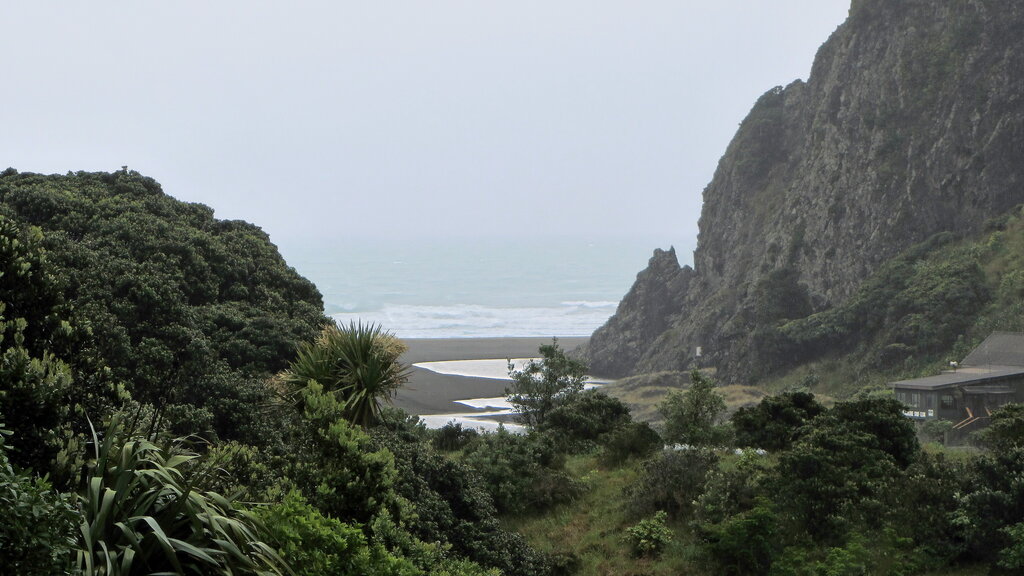
The region starts just north of Auckland and stretches about 450 kilometers to Cape Reinga, the country's northern tip. Because of its shape, you're never far from the coast. This unique layout makes it perfect for a road trip that explores both its wild and tranquil sides.
Major Hubs and Regions
Northland is more than just a single destination; it's a collection of distinct areas, each with its own character. Understanding them helps you map out your journey.
Whangārei: As Northland's only city, Whangārei is the region's commercial hub. It serves as a natural starting point for many travelers heading north from Auckland.
Bay of Islands: This is perhaps Northland's most famous area. Located on the east coast, it's a stunning archipelago of over 140 islands. The main towns here are Paihia, the primary tourist base; Russell, a historic and charming village just a short ferry ride away; and Kerikeri, known for its arts, crafts, and horticulture.
The Kauri Coast: On the west coast, this region is named after the giant kauri trees that once dominated its forests. It's a quieter, more rugged area, with Dargaville being its largest town.
The Far North: Everything north of the Bay of Islands and Kauri Coast is considered the Far North. This remote and beautiful area culminates at Cape Reinga. Kaitaia is the main service town for this part of the peninsula.
The Twin Coast Discovery Highway
The easiest way to explore Northland is by following the Twin Coast Discovery Highway. This is not a single road but a circular touring route designed to showcase both coastlines. The entire loop is about 800 kilometers long and is well-signposted, making navigation straightforward.
The route allows you to drive up one coast and down the other, creating a comprehensive journey without backtracking.
You can start the loop from either Auckland or Whangārei. A common approach is to travel up the east coast through the Bay of Islands, head to the Far North, and then return south along the Kauri Coast. This gives you a fantastic variety of scenery and experiences.
Distances and Driving Times
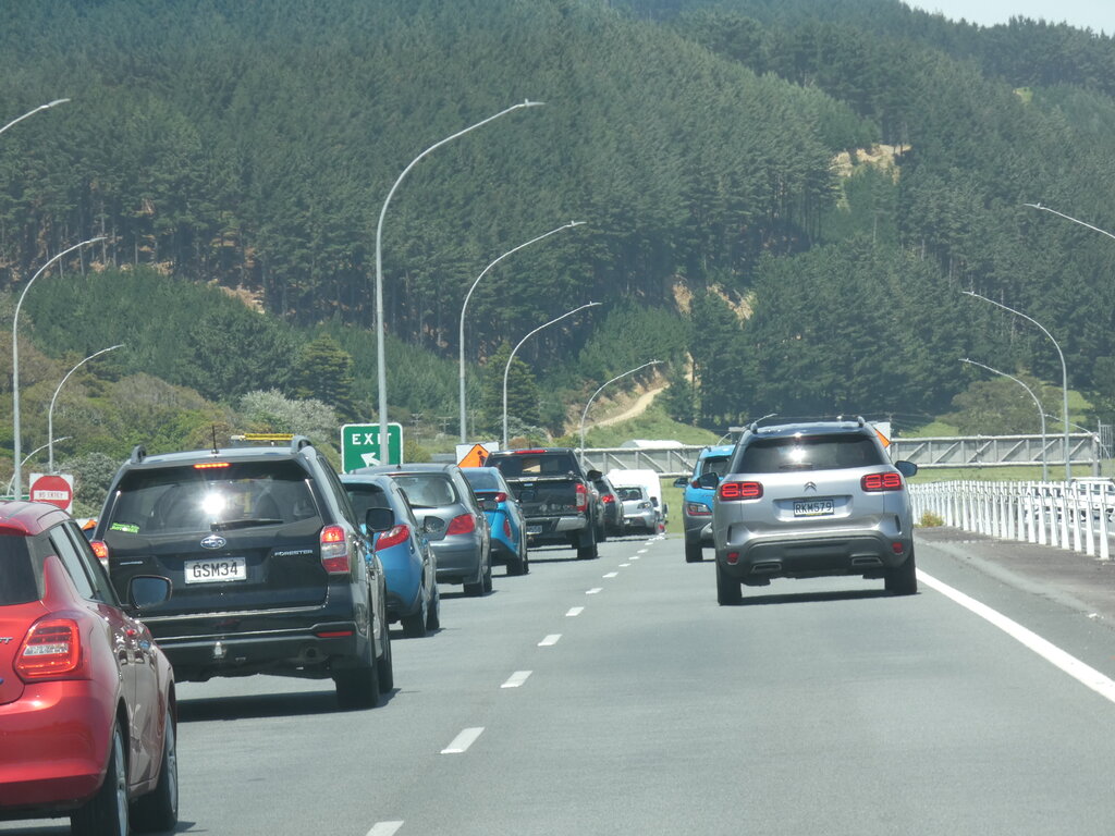
New Zealand's roads can be winding, and travel often takes longer than you might expect based on distance alone. The times below are estimates for non-stop driving and don't account for photo stops, breaks, or potential traffic, especially when leaving Auckland. It's always wise to add extra time to your plan.
| Route Segment | Distance (approx.) | Driving Time (approx.) |
|---|---|---|
| Auckland to Whangārei | 160 km | 2.5 - 3 hours |
| Whangārei to Paihia | 70 km | 1 hour |
| Paihia to Kaitaia | 105 km | 1.5 hours |
| Kaitaia to Cape Reinga | 110 km | 1.5 hours |
| Cape Reinga to Dargaville | 240 km | 3.5 hours |
| Dargaville to Auckland | 180 km | 2.5 - 3 hours |
As you can see, the drive from Paihia to Cape Reinga takes about 3 hours one-way. Many visitors base themselves in Paihia or Kaitaia and make the trip to the Cape a full-day excursion. Planning around these key travel times is the first step to building a relaxed and enjoyable Northland adventure.
What nickname is often used to describe the Northland region due to its mild climate?
A traveler looking for sheltered bays and golden beaches should prioritize visiting which coastline of Northland?
With this geographical overview, you're now ready to start thinking about the incredible sights and activities that await you in Northland.