Navigating St. Louis and St. Charles
Introduction to St. Charles and St. Louis Geography
Two Counties, One River
The St. Louis metropolitan area is a sprawling region in eastern Missouri. At its heart are two major areas: St. Louis County and, just to its west, St. Charles County. It's important to note that St. Louis City is an independent city, functioning like its own county, and is geographically distinct from St. Louis County which surrounds it.
These two counties, St. Louis and St. Charles, are home to a significant portion of Missouri's population and economic activity. While they are closely linked, they are separated by a major natural barrier.
The Missouri River
The defining geographical feature separating St. Louis County and St. Charles County is the Missouri River. This powerful waterway flows from the west, forming the northern and western borders of St. Louis County before meeting the Mississippi River just north of the city.
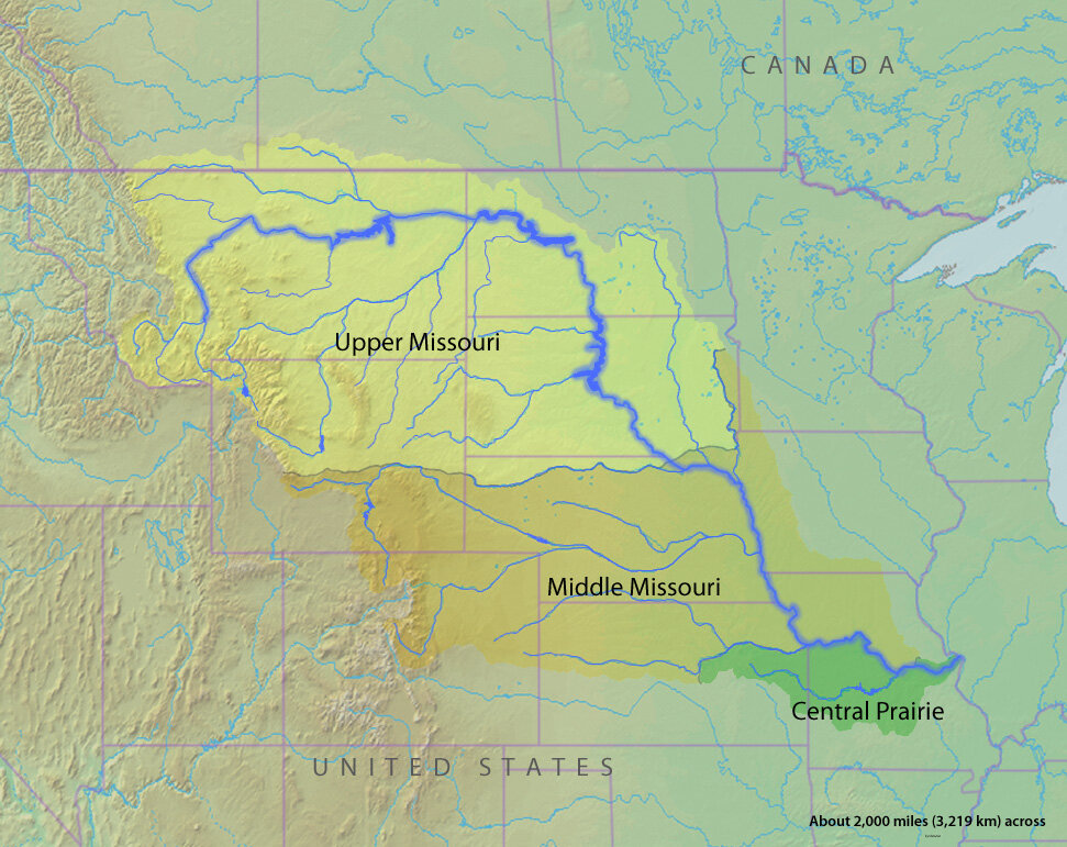
For centuries, this river was a primary artery for exploration, trade, and settlement. The city of St. Charles, located on the river's western bank, was the first state capital of Missouri and a key starting point for the Lewis and Clark Expedition. Across the river on the eastern bank, St. Louis County developed into a dense suburban area.
This layout means that any travel between the two counties requires crossing the Missouri River. The location and number of bridges, therefore, play a critical role in the daily life and traffic patterns of the entire region.
City and County Layout
St. Louis City sits on the western bank of the Mississippi River, which forms the border between Missouri and Illinois. It has a relatively dense, grid-like street pattern typical of older American cities. St. Louis County surrounds the city to the north, west, and south, and is characterized by a mix of suburban communities, commercial centers, and parks.
The Mississippi River defines the eastern edge of the St. Louis area, while the Missouri River cuts through its western side.
St. Charles County, across the Missouri River, has experienced rapid growth over the past few decades. It contains a mix of historic towns like St. Charles and newer, sprawling suburbs. Its geography is shaped by the river's floodplain as well as rolling hills further west.
Understanding this basic geography—two counties divided by a major river, with an independent city on a second great river—is the first step to making sense of how people travel between them.