Multi-View Point Cloud Registration
Introduction to Point Clouds
What Are Point Clouds?
Imagine trying to describe a statue to someone who has never seen it. You could use words, but what if you could give them a digital version made of millions of tiny, precise dots? That's the basic idea behind a point cloud.
A point cloud is a massive collection of data points in a three-dimensional coordinate system. Each point has its own set of coordinates () that pinpoints its exact location in space. Together, these points create a detailed 3D model of an object or an environment. Think of it as digital dust that settles on the surface of the real world, perfectly capturing its shape.
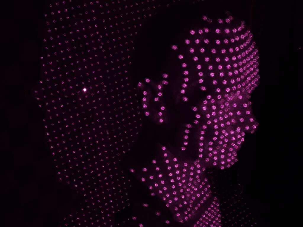
Beyond just position, each point can carry extra information. For instance, points can have color values (R, G, B) to create a photorealistic model, or an intensity value that shows how much laser light was reflected back to the sensor. This richness of data makes point clouds incredibly versatile.
How Are Point Clouds Made?
Point clouds aren't drawn by hand. They are captured from the real world using specialized technology. The two most common methods are LiDAR and photogrammetry.
LiDAR (Light Detection and Ranging) works by shooting out rapid pulses of laser light. A sensor measures how long it takes for each pulse to bounce off an object and return. Since the speed of light is constant, it can calculate the precise distance to that object, creating a single point in the cloud. A LiDAR scanner does this millions of times per second to build a complete picture.
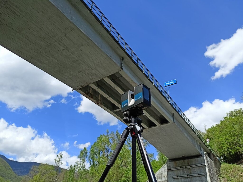
Photogrammetry takes a different approach. Instead of lasers, it uses a series of high-resolution 2D photographs taken from many different angles. Special software then analyzes these photos, identifies common features, and triangulates the positions of points to construct a 3D model.
Another method involves RGB-D cameras. These devices capture standard color images (RGB) along with depth information (D) for each pixel. This allows them to generate a point cloud in real-time, which is why they're popular in robotics and interactive gaming.
Where Are They Used?
Point clouds are the foundation for many modern technologies. Their ability to create precise digital twins of real-world objects and spaces has opened up a wide range of applications.
| Field | Application |
|---|---|
| Architecture & Construction | Creating accurate 3D models of buildings and job sites to check progress and prevent errors. |
| Autonomous Vehicles | Helping cars and drones "see" their surroundings to navigate safely and avoid obstacles. |
| Geographic Surveying | Mapping large areas of land with high precision for environmental monitoring or urban planning. |
| Virtual & Augmented Reality | Building realistic and immersive digital environments for games, training, and simulations. |
| Manufacturing | Inspecting manufactured parts for defects by comparing a scan to the original design file. |
As data processing becomes more powerful, the use of point clouds continues to grow, allowing us to interact with the digital world in more meaningful and accurate ways.
Ready to check your understanding? Let's see what you've learned about point clouds.
What is the primary composition of a point cloud?
In addition to spatial coordinates, what other attributes can a point within a point cloud typically hold?
Now that you understand what point clouds are and how they're created, you're ready to explore how we can work with and manipulate this powerful form of 3D data.