Mastering Navigation Principles
Introduction to Navigation
What is Navigation?
At its heart, navigation is the process of planning, recording, and controlling the movement of a craft or person from one place to another. It's not just about knowing where you are, but also where you're going and how to get there safely and efficiently. From ancient mariners crossing vast oceans to a delivery driver navigating city streets, the fundamental challenge remains the same: to master the journey.
The core purpose of navigation is to answer three questions: Where am I? Where am I going? How do I get there?
This process applies across all domains. A ship's captain at sea, an airline pilot at 30,000 feet, and a hiker in the wilderness all rely on the same core principles. They must determine their position, plot a course to their destination, and continuously monitor their progress to stay on track. Effective navigation is what enables global trade, connects communities, and facilitates exploration.
A Journey Through Time
The history of navigation is a story of human ingenuity. Early sailors practiced piloting, using familiar landmarks along the coast to find their way. For longer voyages, they turned to the heavens. The sun's position during the day and the stars at night, particularly Polaris (the North Star), provided a reliable, if basic, directional guide. This practice, known as celestial navigation, was the primary method for centuries.
Major breakthroughs came with the invention of key instruments. The magnetic compass, arriving in Europe around the 12th century, provided a consistent sense of direction regardless of weather or time of day. The sextant, developed in the 18th century, allowed mariners to measure the angle between a celestial body and the horizon, enabling them to calculate their latitude with remarkable accuracy.
The 20th century introduced radio navigation systems, which used radio signals from fixed transmitters to determine a position. This was a major leap forward, but it was the advent of satellite-based systems like the Global Positioning System (GPS) in the late 20th century that truly revolutionised navigation. Today, precise, real-time position information is available to almost anyone on the planet.
The Domains of Navigation
While the principles are universal, the application of navigation varies significantly depending on the environment. Each domain has its own unique challenges, tools, and procedures.
| Domain | Key Challenges | Primary Tools & Methods |
|---|---|---|
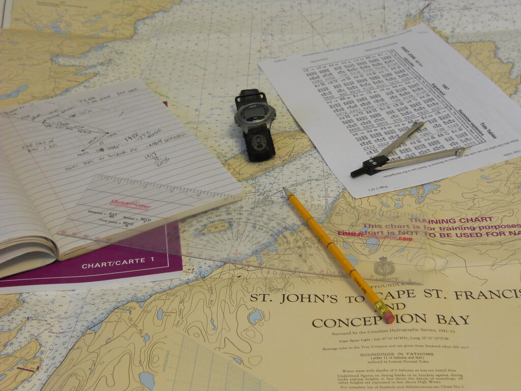
| Maritime | Vast open spaces, ocean currents, weather, few landmarks | Charts, GPS, Radar, Celestial Navigation (backup) |
| Aviation | High speeds, three-dimensional movement, air traffic | GPS, Inertial Navigation Systems (INS), Radio Beacons |
| Land | Complex terrain, obstacles (buildings, mountains) | Maps, Compass, GPS (handheld/vehicle) |
In maritime navigation, a vessel's course must account for the effects of wind and current, a concept known as set and drift. Safety is paramount, with a strong emphasis on avoiding collisions and navigational hazards like reefs and shallow waters.
Aviation navigation operates in three dimensions. Pilots must manage not only their geographic path but also their altitude. The high speeds of aircraft demand rapid and extremely precise position updates to maintain safe separation from other aircraft and to follow designated air routes.
Land navigation can range from a simple drive across town to a complex trek through dense wilderness. It often involves interpreting detailed topographic maps to understand elevation changes and terrain features. While GPS has become ubiquitous, traditional map and compass skills remain vital in remote areas where technology can fail.