Mastering Geotechnical Site Investigations
Modern Site Reconnaissance
The Modern Desktop Study
Every geotechnical investigation begins not on the field, but at a desk. Before any soil is sampled or equipment is deployed, the first step is a thorough desktop study. This involves digging into historical records: old geological maps, previous construction reports, aerial photographs, and local government data. The goal is to build a preliminary picture of the site's history and potential challenges, like old landslides or buried utility lines.
In the past, this was a manual process of sifting through paper archives. Today, Geographic Information Systems (GIS) aggregate many of these datasets into searchable, layered maps. This digital approach allows engineers to spot potential issues faster and plan a much more targeted and efficient physical investigation.
Eyes in the Sky
Once the historical context is set, the next step is to capture the site as it exists today. Drones equipped with advanced sensors have revolutionized this process, offering two primary methods for creating detailed 3D maps: LiDAR and photogrammetry.
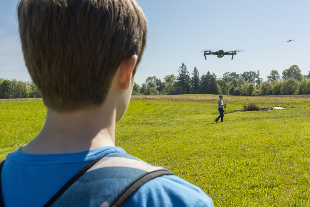
works by taking hundreds or thousands of overlapping digital photographs from a drone. Specialized software then stitches these images together by identifying common points, creating a detailed and photorealistic 3D model. It excels at capturing the visual texture and color of a site, making it great for creating visually intuitive models.
LiDAR, on the other hand, is an active sensor. It fires laser pulses at the ground and measures the reflection time to calculate distance. This creates a highly accurate point cloud of the terrain. Its key advantage is the ability to penetrate vegetation. Some laser pulses will bounce off leaves, but others will find their way to the ground, allowing for a true bare-earth model even in dense forests.
| Feature | LiDAR | Photogrammetry |
|---|---|---|
| Principle | Active (Laser Pulses) | Passive (Photographs) |
| Accuracy | Very High | High, but can be variable |
| Vegetation | Excellent penetration | Poor penetration |
| Cost | Higher | Lower |
| Output | Point Cloud | Color 3D Model, Orthomosaic |
| Best For | Bare-earth models, dense forests | Visual models, open terrain |
From Data to Digital Twin
The data from these flights—whether a LiDAR point cloud or a photogrammetry mesh—forms the foundation of a Digital Twin of the site. This isn't just a static map; it's a dynamic, high-fidelity 3D model that serves as a single source of truth for the entire project team.
For a large site, aerial LiDAR can quickly capture terrain data with centimeter-level precision. But for critical structures like foundations or retaining walls, that might not be enough. In these cases, engineers supplement the aerial data with terrestrial laser scanning. These ground-based scanners are stationary and can achieve millimeter precision, capturing immense detail in targeted areas.
This combined dataset is then used to develop the preliminary geological model. Engineers can overlay historical maps, borehole data, and geophysical surveys onto the 3D terrain. This integration allows them to visualize subsurface layers, identify potential fault lines, and plan the physical investigation with much greater confidence.
The BVLOS Revolution
Historically, surveying large sites with drones was constrained by regulations that required the operator to maintain a direct line of sight with the aircraft. This meant large projects required multiple flights and setups, increasing time and cost.
Recent regulatory shifts toward allowing operations have been a game-changer. Flying 'Beyond Visual Line of Sight' allows a single drone flight to cover vast areas, making remote sensing much more cost-effective, especially for sites larger than 10 acres. This shift has unlocked the full potential of aerial reconnaissance for linear projects like highways and pipelines, as well as large-scale land development.
By integrating historical data with high-resolution 3D models, modern reconnaissance provides a comprehensive understanding of a site before the first shovel ever hits the ground.
What is the primary purpose of the initial desktop study in a geotechnical investigation?
An engineer needs to create a detailed 'bare-earth' model of a densely forested hillside to assess landslide risk. Which technology is best suited for this specific task?
This blend of digital research and advanced remote sensing defines the modern approach to site reconnaissance, reducing risks and setting the stage for a successful geotechnical investigation.