Jesus Galilee and Economics
Geography and Climate
A Land of Hills and Water
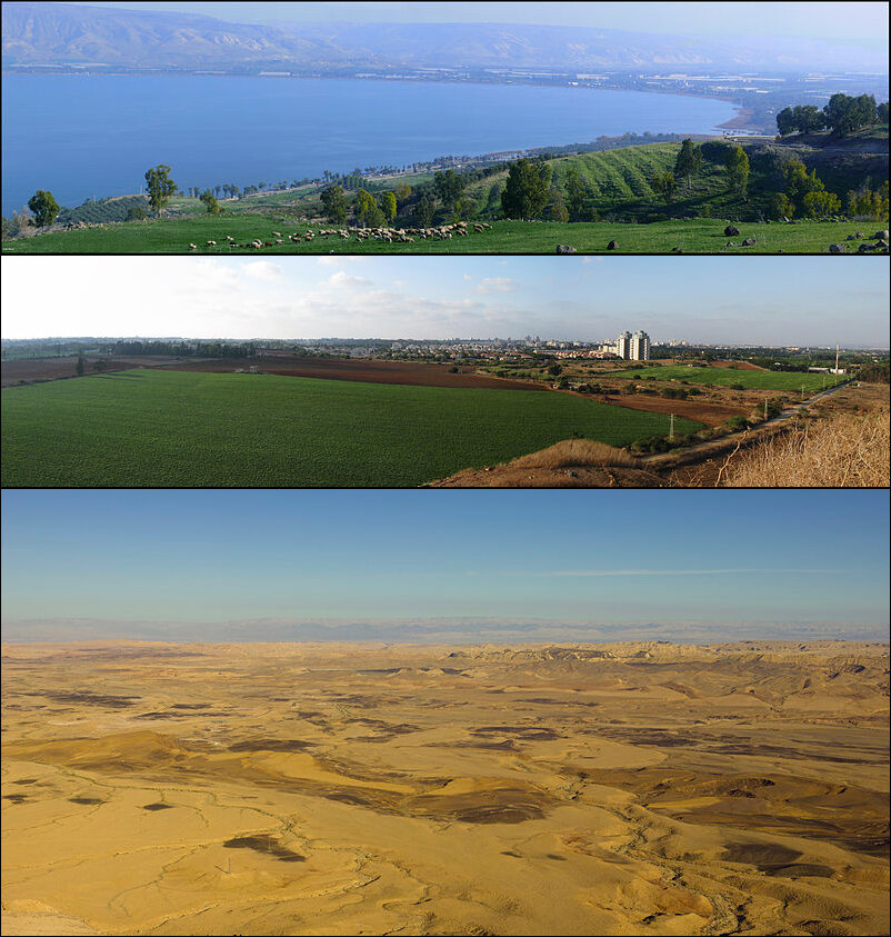
The Galilee of Jesus's time wasn't one uniform landscape. It was a region of contrasts, split into two distinct parts: Upper and Lower Galilee.
Upper Galilee, to the north, was rugged and mountainous. Its high hills, reaching up to 4,000 feet, were covered in forests and scrub. The terrain was challenging, making large-scale farming difficult. Villages here were often smaller and more isolated.
Lower Galilee, to the south, was a different world. It featured rolling hills and wide, fertile valleys like the Jezreel Valley. This landscape was perfect for agriculture. The soil was rich, and the gentler slopes were easier to cultivate. This is where most of the region's population lived and worked, in towns like Nazareth, Cana, and Capernaum.
The most significant feature was the Sea of Galilee. Despite its name, it's a freshwater lake, sitting low in the Jordan Rift Valley. Its waters provided a lifeline for the region, supporting a thriving fishing industry and nourishing the surrounding lands.
Seasons of Rain and Sun
Galilee has a Mediterranean climate, characterized by two dominant seasons: a long, hot, dry summer and a short, cool, rainy winter. This predictable cycle governed every aspect of life, from farming to travel.
Summers, stretching from roughly May to September, were rainless and sunny. Temperatures could climb, especially in the lower-lying areas around the lake. Winters brought the rains, typically between November and March. These rains were crucial for replenishing the water sources and ensuring a successful harvest the following year. A weak rainy season could mean hardship and hunger.
The rhythm of life was tied to the seasons. Planting happened in the fall to take advantage of the coming winter rains, and the harvest took place in the dry heat of late spring and summer.
A Bountiful Land
The combination of fertile soil, sunny summers, and rainy winters made Lower Galilee a breadbasket. Farmers cultivated a variety of crops essential for daily life and trade.
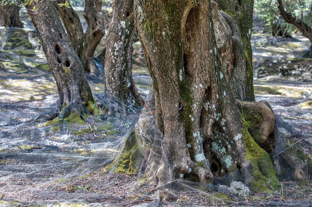
Wheat and barley were the staple grains, used for bread. Vineyards dotted the hillsides, producing grapes for wine. But perhaps the most iconic crop was the olive. Olive trees thrived in the rocky soil and Mediterranean climate, providing oil for cooking, lighting, and religious rituals.
Of course, the other major natural resource was fish. The Sea of Galilee was famously rich with species like tilapia (often called St. Peter's fish), sardines, and carp. Fishing was a major industry, supporting entire villages along the shore, such as Capernaum and Bethsaida. The methods were simple: fishermen used nets cast from small wooden boats, often working through the night.
This geography shaped the world Jesus knew. His parables are filled with images drawn from this landscape: seeds sown on different types of soil, mustard seeds growing into trees, and fishermen casting their nets into the sea. The land itself was the backdrop for his ministry.
Ready to test your knowledge?
Which of the following best describes the key difference between Upper Galilee and Lower Galilee?
The climate of Galilee is best characterized by which two dominant seasons?
Understanding the geography of Galilee provides a crucial context for the events and teachings that unfolded there.