Introduction to Chinese Civilization
Geography of China
Rivers, Mountains, and Plains
China is a country of immense scale and geographical diversity. Its landscape sweeps from towering, ice-capped mountains to vast, sun-scorched deserts and from fertile plains to dense forests. This varied terrain has been a powerful force throughout China's history, shaping where people lived, what they grew, and how they interacted with the world.
Physical geography isn't just about maps and landforms. It's the stage on which human history unfolds.
Two Great Rivers
Two rivers are central to China's story: the Yangtze and the Yellow River. They flow from the high Tibetan Plateau in the west to the Pacific Ocean in the east, acting as the country's lifeblood.
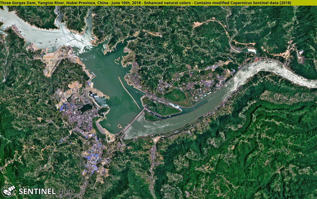
The Yangtze River, or Cháng Jiāng (长江), is the longest river in Asia. It carves a path through southern China, a region with a warm, wet climate perfect for growing rice. The river valley is one of the most densely populated and agriculturally productive areas in the world. For centuries, the Yangtze has also served as a major transportation artery, connecting the coast with the interior.
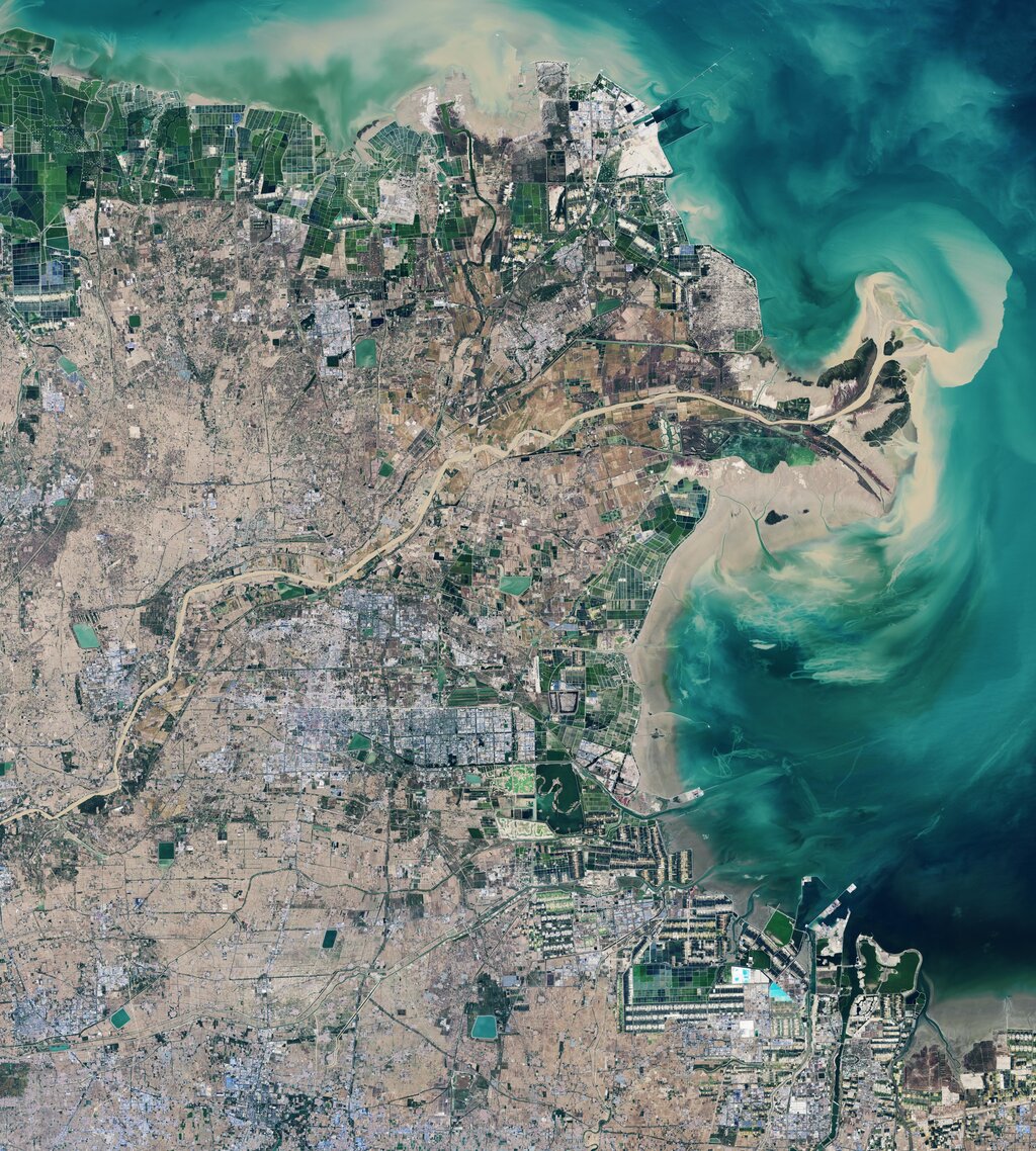
The Yellow River, or Huáng Hé (黄河), flows through the north. It gets its name from the fine, yellow silt, called loess, that it carries downstream. This silt creates the incredibly fertile North China Plain, often called the "cradle of Chinese civilization." This region is ideal for growing crops like wheat and millet. However, the same silt that enriches the land can also cause catastrophic floods, earning the river the nickname "China's Sorrow."
Barriers of Earth and Sand
China's geography created natural barriers that isolated it from other major civilizations. To the southwest, the Himalayas form an almost impassable wall of rock and ice. This massive mountain range, which includes Mount Everest, separates China from the Indian subcontinent.
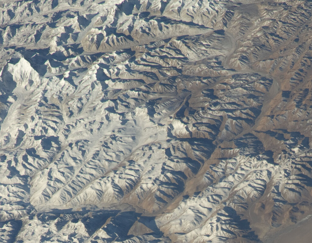
Further north, the vast Tibetan Plateau, the highest and largest plateau in the world, created another significant barrier. The Kunlun Mountains, which run along the northern edge of the plateau, further defined this remote, high-altitude region.
In the northwest, two massive deserts dominate the landscape: the Taklamakan and the Gobi. The Taklamakan is known for its shifting sand dunes and extreme temperatures, while the Gobi is a cold desert of rock and gravel that extends into Mongolia. These arid lands historically limited travel and settlement, funneling trade along specific routes like the Silk Road.
Land of Plenty
While much of western China is mountainous and arid, the eastern part of the country is defined by fertile lowlands. The North China Plain, built up by sediment from the Yellow River, has been the agricultural heartland of northern China for millennia. It's one of the most densely populated areas on Earth.
Another unique feature is the Loess Plateau, located south of the Gobi Desert. This region is covered in deep deposits of loess, a fine, wind-blown silt. While the soil is fertile, it's also highly susceptible to erosion, which contributes to the Yellow River's heavy sediment load.
| Feature | Location | Key Characteristic |
|---|---|---|
| Yangtze River | Southern China | Longest river in Asia; supports rice cultivation. |
| Yellow River | Northern China | Carries yellow loess silt; creates fertile plains. |
| Himalayas | Southwest | World's highest mountain range; a major barrier. |
| Gobi Desert | North/Northwest | A vast, cold desert of rock and gravel. |
| North China Plain | East | Densely populated agricultural heartland. |
These geographical features didn't just determine what crops were grown. They shaped trade, conflict, and the very boundaries of Chinese civilization for thousands of years.