Introduction to China
Geography
A Land of Extremes
China's territory is immense, spanning about 9.6 million square kilometers. This makes it one of the largest countries in the world by land area, comparable in size to the United States. But this vast expanse is far from uniform. It's a land of incredible contrasts, from towering mountains and high plateaus in the west to low-lying plains in the east.
Mountains and Rivers
The geography of China can be imagined as a giant staircase descending from west to east. The highest step is the Tibetan Plateau in the southwest, a massive, elevated region often called the "Roof of the World." This plateau is ringed by several of the world's most formidable mountain ranges.
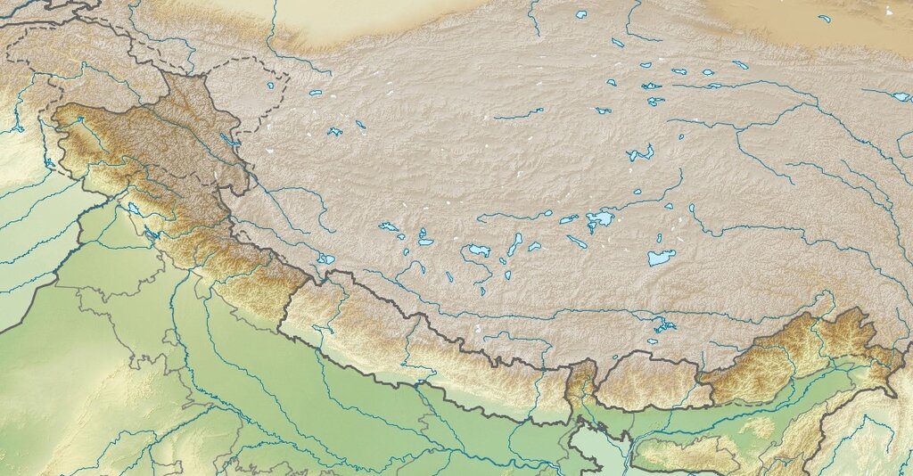
The Himalayas form the southern border of the plateau, separating China from the Indian subcontinent. To the north are the Kunlun Mountains, which stretch for thousands of kilometers and create a natural barrier between the Tibetan Plateau and the vast deserts of the northwest, like the Taklamakan. These mountain ranges are so high that they block moisture from the Indian Ocean, creating a rain shadow that keeps much of western China arid.
Flowing down from these western highlands are two of the world's most important rivers: the Yellow River and the Yangtze River. These rivers have served as the cradles of Chinese civilization, providing water for agriculture and channels for transportation for thousands of years.
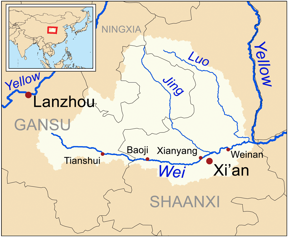
The Yangtze (長江, Cháng Jiāng) is the longest river in Asia and the third-longest in the world. Its basin is home to a huge portion of China's population and is a vital agricultural and industrial region. The Yellow River (黃河, Huáng Hé) is the second-longest. It gets its name from the fine, yellow-brown silt called loess that it carries downstream, which creates incredibly fertile soil but also contributes to devastating floods.
Climates and Population
China's sheer size means it has a huge variety of climates. The northeast, near Russia, has long, frigid winters. The deserts of the northwest are dry year-round, with scorching summers and cold winters. In contrast, the south is subtropical and tropical, with hot, humid summers and mild winters. This diversity allows for a wide range of agriculture, from wheat in the north to rice in the south.
The country is also rich in natural resources. It has massive coal reserves, which have fueled its industrial growth. It's also a leading producer of many minerals, including rare earth elements, which are crucial for modern technology. These resources are not evenly distributed, with much of the coal in the north and rare earths in the south and north.
This geography profoundly shapes where people live. The rugged, dry western half of the country is sparsely populated. The vast majority of China's 1.4 billion people live in the eastern half, particularly on the fertile coastal plains and along the major river valleys.
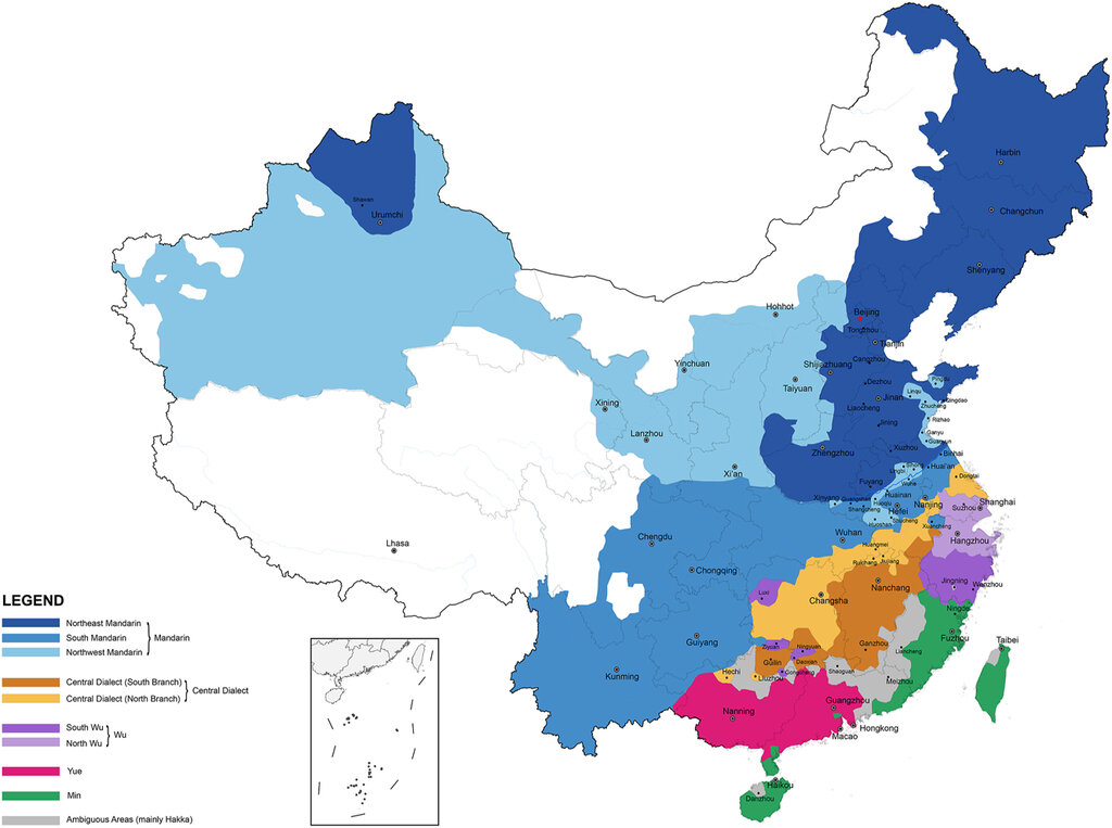
This east-west population divide is one of the most striking features of China's human geography. The eastern plains, watered by the great rivers, have been the heartland of Chinese civilization for millennia, and they remain the country's economic, political, and cultural center today.