Introduction to Bathymetry
Introduction to Bathymetry
Mapping the Deep
Imagine trying to navigate a new city with no map, where all the buildings, hills, and valleys are invisible. That’s what exploring the ocean was like for centuries. The world beneath the waves was a complete mystery. Bathymetry is the science of changing that. It's the underwater equivalent of topography, focusing on measuring the depth of water bodies and mapping the shape of the terrain below.
bathymetry
noun
The measurement of depth of water in oceans, seas, or lakes and the mapping of the underwater features of a body of water.
Just as a topographic map shows you mountains and valleys on land, a bathymetric map reveals the hidden landscape of the seafloor, complete with trenches, seamounts, and vast abyssal plains. Creating these maps is the core of understanding our planet's largest habitat.
A Rope and a Lead Weight
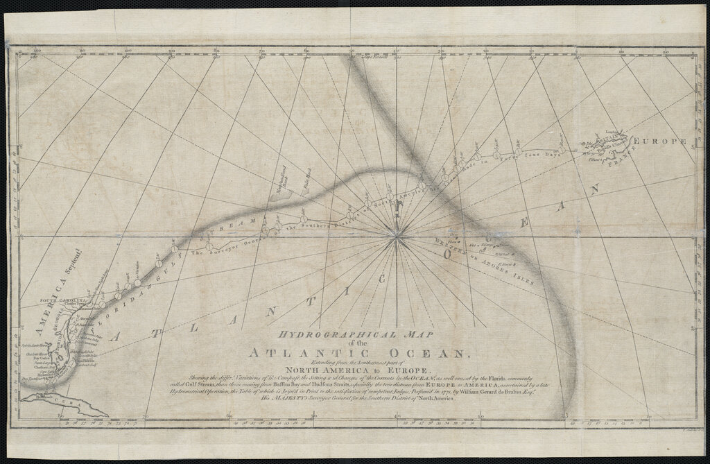
Early attempts to measure ocean depth were simple and laborious. For thousands of years, sailors used a technique called sounding. They would lower a long, weighted rope or line into the water until it hit the bottom. Then, they’d haul it back up and measure the length that went under. It was slow, difficult work, especially in deep water, and it only provided a single depth measurement at one specific point.
Imagine trying to map the Rocky Mountains by taking one elevation measurement every few miles. That was the challenge early oceanographers faced.
These soundings were the only way to get a sense of the seafloor's shape. Mariners marked these depths on their charts to warn others of shallow areas and hidden dangers. While these early maps were incredibly sparse by today's standards, they were vital for safe navigation and represented the first steps in systematically exploring the ocean depths.
Why We Chart the Seafloor
Knowing the shape of the ocean floor isn't just for avoiding shipwrecks. Bathymetric data is fundamental to oceanography. The underwater landscape directs ocean currents, which in turn affect global climate and weather patterns. Huge underwater mountain ranges, like the Mid-Atlantic Ridge, and deep trenches, like the Mariana Trench, have a profound influence on how water circulates around the globe.
For navigation, bathymetry is non-negotiable. Commercial ships, submarines, and fishing boats all rely on detailed charts of the seafloor to travel safely and efficiently. A hidden seamount or an inaccurate depth reading could be disastrous.
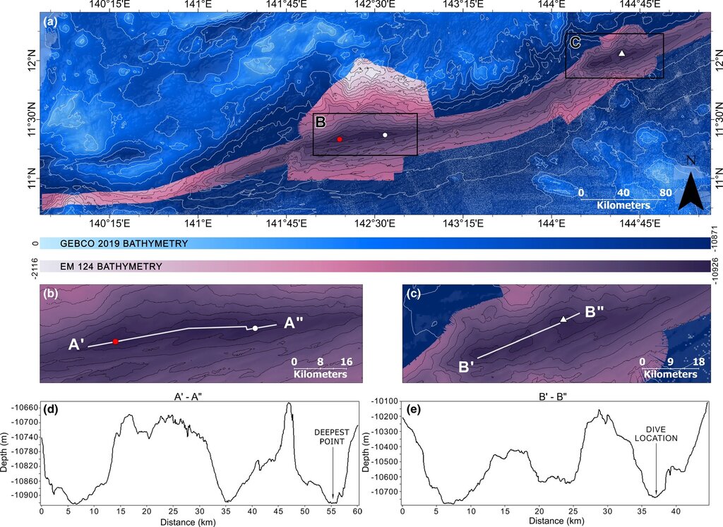
Understanding underwater topography also helps us comprehend geological processes like plate tectonics. The seafloor holds evidence of volcanic activity, earthquakes, and the creation of new crust. By mapping it, we get a clearer picture of the dynamic forces that shape our planet.
Ready to check your understanding?
Bathymetry is the underwater equivalent of which scientific field?
What was the traditional, centuries-old method for measuring ocean depth, which involved lowering a weighted line into the water?
From a simple rope to sophisticated modern tools, the goal of bathymetry has remained the same: to reveal the hidden world beneath the water.