Interpreting NDVI Imagery
Introduction to Remote Sensing
Seeing Earth from Above
Remote sensing is the science of getting information about something without physically touching it. Our own eyes are a form of remote sensing. They gather information about the world by detecting the light reflected off objects.
When we talk about remote sensing in geography and environmental science, we usually mean using sensors on satellites or aircraft to collect data about the Earth's surface. These sensors are like powerful digital cameras, but they can see much more than the human eye.
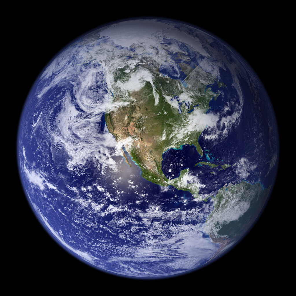
By analyzing the data they collect, we can monitor everything from deforestation in the Amazon to the health of crops in a farmer's field, all from hundreds of miles away.
More Than Meets the Eye
Human eyes can only see a small portion of the light that exists. This portion is called the visible spectrum, which we see as the colors of the rainbow. But there are many other types of light, or electromagnetic radiation, that are invisible to us, such as infrared, ultraviolet, and microwaves.
All of these different types of radiation make up the electromagnetic spectrum. Remote sensing satellites are designed to detect a much wider range of this spectrum than we can.
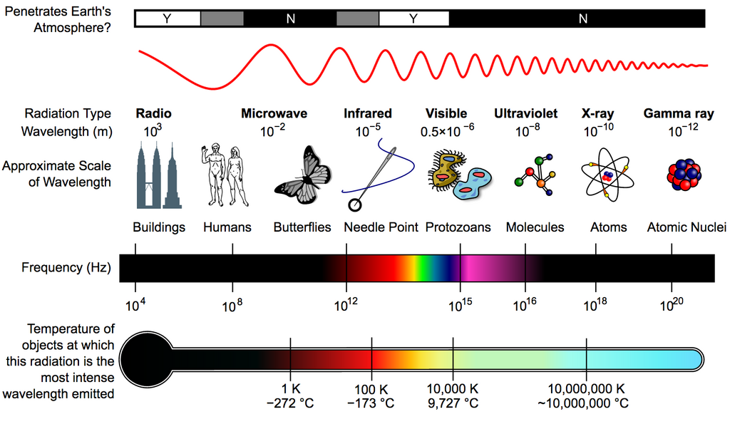
Why is this important? Because different materials on the Earth's surface reflect and absorb different types of radiation in unique ways. Water, for example, absorbs a lot of near-infrared radiation, making it appear very dark in infrared images. Healthy vegetation, on the other hand, reflects near-infrared radiation very strongly. These unique signatures allow scientists to identify and analyze features on the ground.
How Satellites Take a Picture
Satellites are equipped with sensors that measure the energy reflected or emitted from the Earth. The most common type is an optical sensor, which works much like a digital camera. It detects radiation and records it as numbers.
Each number corresponds to a small area on the ground called a pixel. The satellite scans the surface line by line, building up an image pixel by pixel. The data for each pixel across different parts of the spectrum, called bands, is then transmitted back to Earth.
It’s a common misconception that satellites take 'pictures' in the traditional sense. They actually collect vast amounts of numerical data, which we then process to create images.
Once this data is on the ground, computers can assemble it into an image. We can create a true-color image by assigning the red, green, and blue light bands to the red, green, and blue color channels on a screen. This creates an image that looks similar to what we would see from space.
More powerfully, we can create false-color images. In these images, we assign invisible bands of light, like near-infrared, to visible color channels. This can reveal patterns that are completely hidden from our eyes. For instance, assigning the near-infrared band to the red channel makes healthy vegetation appear bright red, making it easy to distinguish from unhealthy plants or bare soil.
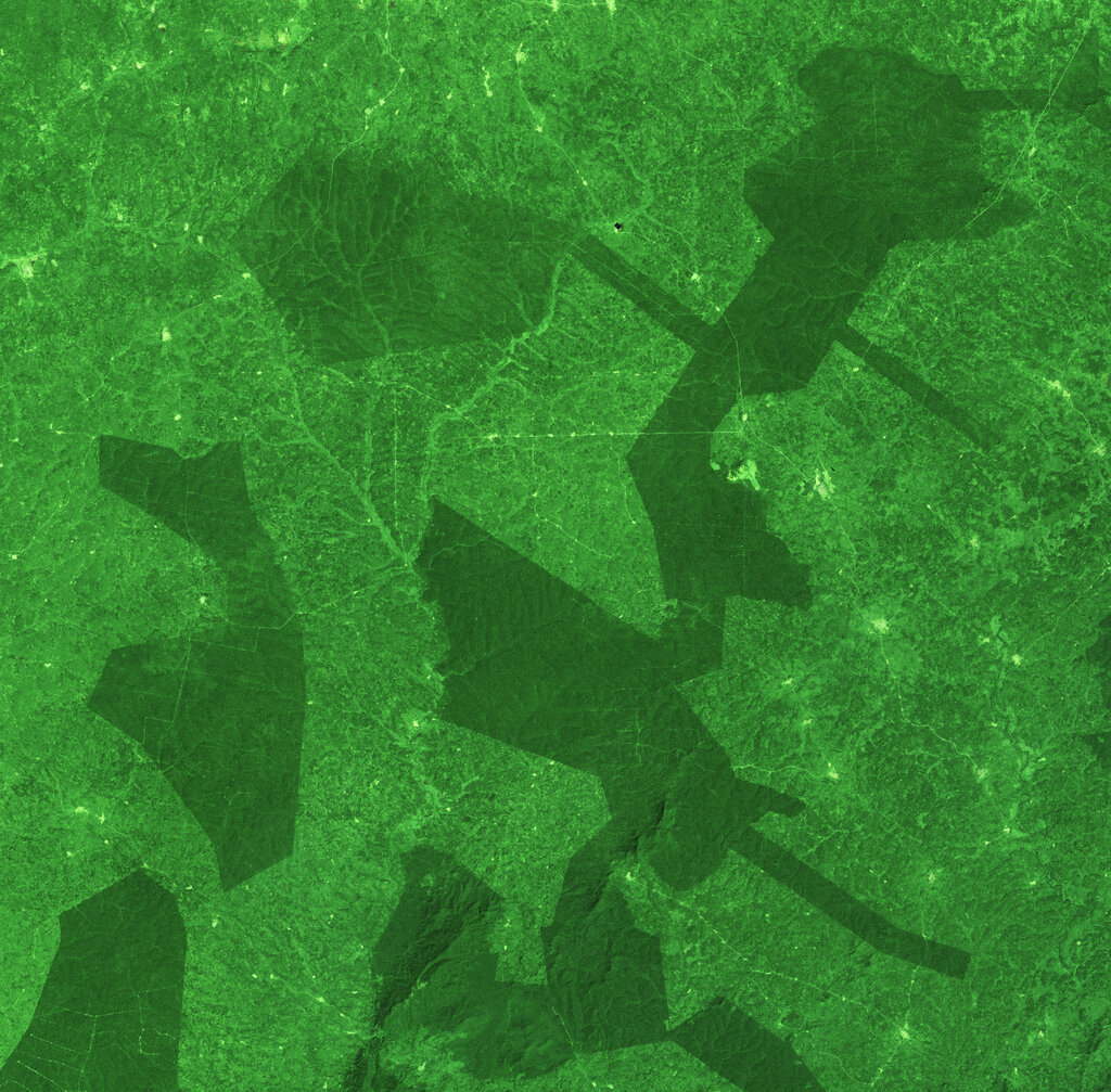
By understanding which features reflect which wavelengths of light, we can interpret these images to learn about the world. This is the foundation of remote sensing and allows us to create detailed maps of land use, monitor environmental changes, and manage natural resources more effectively.