InfoWorks ICM Area Take Off Mastery
Data and Layer Preparation
Preparing Your Data Layers
Before you can run an Area Take Off (ATO) in InfoWorks ICM, your GIS data needs to be properly structured. The goal is to prepare Impermeable Area Survey (IAS) data so that ICM can automatically calculate runoff surfaces and assign them to the correct nodes in your hydraulic model. This process hinges on correctly attributing each polygon in your GIS layers.
Attributing IAS Polygons
Each polygon in your IAS data represents a specific type of surface, such as a roof, road, or patch of soft ground. For the ATO to work, every polygon must contain information telling ICM two things: which drainage system it belongs to and what type of surface it is.
We achieve this using the 'System and Surface Code' method. This involves adding two specific attributes to your GIS data file (e.g., a shapefile) before importing it into ICM:
- System Type: A text field, typically named
User_Text, specifies the drainage system. Common values are 'Storm', 'Foul', or 'Combined'. - Surface ID: A numeric field, typically named
User_Number, identifies the surface type using a number from 1 to 12. Each number corresponds to a specific surface material defined within your model, like 'Road' or 'Roof'.
By setting up these attributes in your source GIS data, you create a clear mapping that ICM can use to automate the connectivity process.
| Land Use Example | User_Text (System Type) | User_Number (Surface ID) |
|---|---|---|
| Roof of a house | Storm | 1 |
| Driveway | Storm | 2 |
| Foul drainage area | Foul | 5 |
| Public road | Storm | 2 |
Importing and Aligning Data
Once your polygons are correctly attributed, you need to bring them into your ICM project. You can do this by importing an external GIS file, like a shapefile, using the Open Data Import Centre (ODIC). The ODIC allows you to map the fields from your source file (e.g., User_Text and User_Number) directly to the corresponding ICM fields for IAS polygons. Alternatively, if your GIS data is already loaded as a layer in your GeoPlan, you can use it directly.
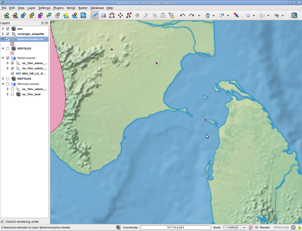
A critical step during this process is ensuring spatial accuracy. The coordinate system of your incoming GIS data must match the coordinate system of your ICM network. If there is a mismatch, your polygons will be displaced, appearing in the wrong location relative to your network pipes and nodes. This spatial error will prevent the ATO from correctly assigning runoff surfaces to the intended manholes or connection points, leading to an inaccurate model.
By ensuring your IAS data is correctly attributed and spatially aligned, you create a solid foundation for an efficient and accurate Area Take Off. The GeoPlan will display your polygons correctly overlaid on your network, ready for the final assignment.
For an Area Take Off in InfoWorks ICM to function correctly, what two key pieces of information must each polygon in the Impermeable Area Survey (IAS) data provide?
When using the 'System and Surface Code' method to prepare GIS data for an ICM Area Take Off, what are the conventional attribute fields and their respective data types?
With properly prepared data, the Area Take Off process becomes a powerful tool for building detailed and accurate hydraulic models.