Indian River Systems Analysis
Himalayan River Systems
The Great Himalayan Rivers
Three of Asia's mightiest river systems begin their journey in the Himalayas: the Indus, the Ganga, and the Brahmaputra. These rivers are perennial, meaning they flow year-round. Their water comes from two sources: melting snow and glaciers in the high mountains, and monsoon rains during the summer months. This constant flow has shaped not just the landscape, but the history of the Indian subcontinent.
A key characteristic of these rivers is their pattern. This means the rivers are actually older than the mountains they cut through. They maintained their original courses as the Himalayas were slowly uplifted over millions of years, carving out immense, steep-sided gorges. As these rivers leave the mountains and enter the flat northern plains, their character changes dramatically. The fast-flowing, erosive streams of the mountains slow down, depositing vast amounts of sediment and beginning to meander across the landscape.
The Indus System
The Indus River begins its journey in the Tibetan Plateau, near Lake Mansarovar. From there, it flows northwest through Ladakh, cutting a deep gorge before entering Pakistan. The core of the system is formed by its five major tributaries originating in the Western Himalayas.
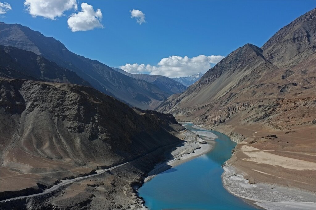
These five rivers—the Jhelum, Chenab, Ravi, Beas, and Satluj—give the Punjab region its name, meaning "Land of Five Rivers." They eventually join together before flowing into the Indus at Mithankot in Pakistan. This collection of five tributaries is known as the just before the confluence. The entire system then flows south, finally emptying into the Arabian Sea near the city of Karachi.
The Ganga System
The Ganga (or Ganges) is the most iconic river of India. Its headwaters are formed by the confluence of two smaller rivers, the Bhagirathi and the Alaknanda, which meet at Devprayag in the mountains of Uttarakhand. The Bhagirathi, flowing from the Gomukh glacier, is traditionally considered the source.
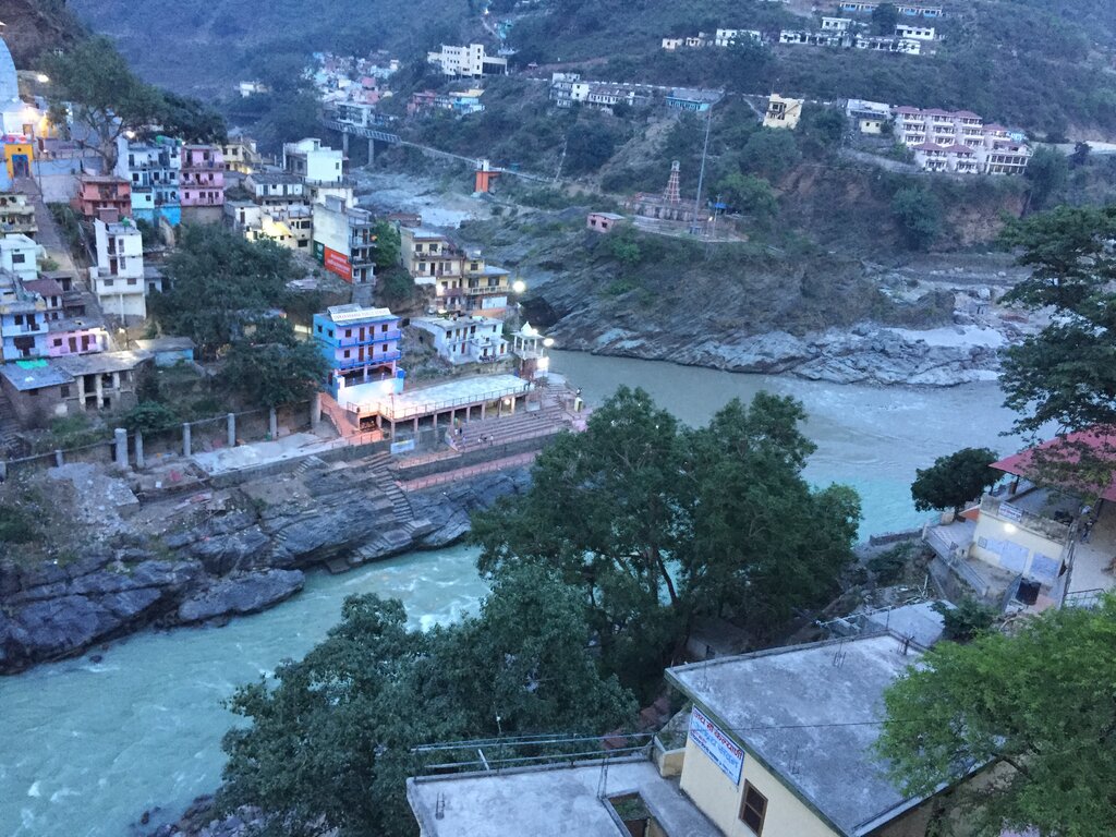
After emerging from the Himalayas at Haridwar, the Ganga flows onto the vast Indo-Gangetic Plain. Here, its gradient flattens, and the river's energy decreases. It slows down and starts to deposit the sediment it carried from the mountains. This causes the river to form wide loops called meanders. Over time, a meander can become so pronounced that the river cuts a straighter, shorter path, abandoning the old loop. This abandoned, U-shaped body of water is called an oxbow lake.
The Ganga is joined by numerous tributaries, the largest being the Yamuna, which itself originates near the Ganga in the Himalayas. As it approaches the sea, the Ganga system merges with the Brahmaputra, spreading out into the world's largest delta, the , before emptying into the Bay of Bengal.
The Brahmaputra System
The Brahmaputra has the most dramatic journey of the three systems. It originates as the River in Tibet, flowing east across the high plateau for about 1,200 kilometers, parallel to the main Himalayan range. Upon reaching the peak of Namcha Barwa, it makes an abrupt, hairpin U-turn and thunders through a deep gorge to enter India in the state of Arunachal Pradesh.
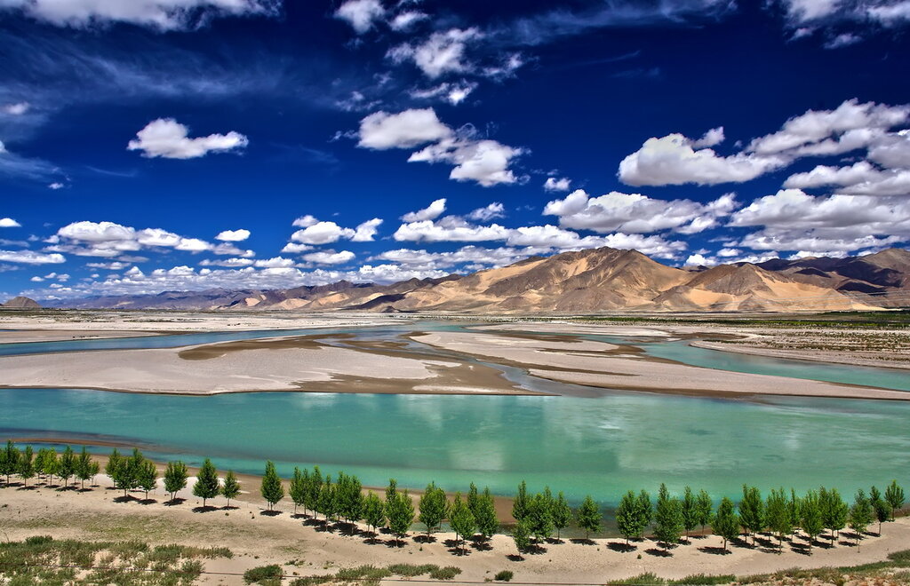
Here, it is joined by tributaries like the Lohit and becomes the wide, powerful Brahmaputra. Flowing through Assam, the river is so laden with sediment that it forms a braided channel—a network of small, shifting channels separated by temporary islands. Finally, it enters Bangladesh, where it merges with the Ganga and flows to the sea.
Himalayan rivers are geological sculptors, carving through rock as mountains rise and laying down the fertile plains that support millions.
Now, let's test your knowledge of these powerful river systems.
What does the term "antecedent drainage" signify regarding the Himalayan rivers?
The Panjnad is a significant feature of which river system?