Hydrology of Indian River Systems
Himalayan Drainage Mechanics
Rivers Older Than Mountains
The major rivers of the Himalayas—the Indus, Ganga, and Brahmaputra—are geological rebels. They flow through the world's highest mountain range, but they were there first. This phenomenon is known as , where a river maintains its course across a landscape that is actively being uplifted. Instead of being diverted by the rising peaks, these powerful rivers had enough erosive force to cut down through the rock as the Himalayas were being formed by the collision of the Indian and Eurasian tectonic plates.
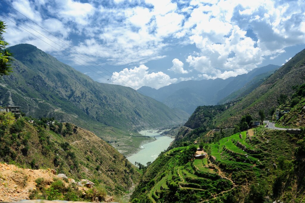
Imagine a saw cutting through a piece of wood as it's slowly being pushed upwards. The saw is the river, and the wood is the landmass. This process of down-cutting created some of the deepest gorges on Earth. It's a testament to the immense and persistent power of water over geological time.
A Tale of Two Taps
Himalayan rivers have a unique dual-source water supply, making them perennial. They are not solely dependent on seasonal rains. The first source is snow and glacial melt from the high peaks. This process begins in spring and peaks in the hot early summer months, providing a steady flow before the monsoon even arrives.
The second, and more voluminous, source is the summer monsoon. From June to September, heavy rainfall drenches the Himalayan foothills and the North Indian plains. When the peak monsoon runoff synchronizes with the peak snow-melt, the rivers swell dramatically. This one-two punch is responsible for the massive discharge volumes seen in the Ganga and Brahmaputra, leading to predictable, widespread seasonal flooding in their lower reaches.
This synchronized discharge means these rivers carry not just immense volumes of water but also vast quantities of sediment. The steep gradients in the Himalayas give the water high velocity and erosive power. As the rivers rush downwards, they scour away silt, sand, and rock, carrying it downstream.
When these fast-flowing mountain rivers reach the flat North Indian plains, their velocity drops sharply. Unable to carry the heavy load any longer, they deposit the sediment, creating the fertile alluvial plains that have supported civilizations for millennia.
Basin Complexity
In the east, the Ganga and Brahmaputra river systems eventually merge in Bangladesh, where they are joined by the Meghna River. This creates the massive , one of the largest and most complex river deltas in the world. The combined flow of these three rivers forms an enormous network of channels that drains a vast, densely populated area before emptying into the Bay of Bengal.
The of 1960 introduces a different kind of complexity for the westernmost Himalayan river system. This agreement between India and Pakistan governs how the waters of the Indus and its five main tributaries are shared. It allocates the waters of the three western rivers (Indus, Jhelum, Chenab) to Pakistan and the three eastern rivers (Ravi, Beas, Sutlej) to India. While preventing conflict, the treaty imposes significant hydrological constraints on water management and infrastructure projects in the region for both countries.
The mechanics of these river systems are shaped by a powerful combination of tectonic uplift, climatic cycles, and human agreements. Understanding these forces is crucial for managing the water resources that support hundreds of millions of people.