Household Disaster Preparedness
Understanding Local Hazards
Know Your Neighborhood's Risks
Before you can make a solid emergency plan, you need to know what you’re planning for. A blizzard plan won't help you during a flash flood, and an earthquake kit looks different from a hurricane kit. Every area has its own unique set of potential threats. The first step in being prepared is to understand the specific hazards where you live.
Nature's Challenges
Your location on the map determines many of the risks you face. If you live on the coast, you watch for hurricanes. In a river valley, floods are a major concern. Near a fault line, the ground might shake.
Natural hazards are events caused by the Earth's processes. They include things like earthquakes, floods, wildfires, tornadoes, and hurricanes. Some areas might deal with several of these. A coastal town in California, for example, could face wildfires, earthquakes, and even tsunamis. Understanding your local geography is key to identifying which of these are most likely to affect you.
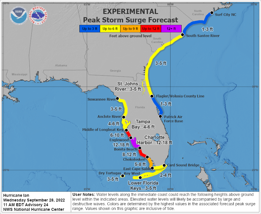
These aren't just abstract ideas. Knowing that you live in a floodplain or a high-risk fire zone changes how you prepare your home and family.
Man-Made Dangers
Not all emergencies are acts of nature. Some risks are created by the infrastructure and industry around us. These are often called man-made or technological hazards.
Think about the world you live in. Are you near a major highway or railway where hazardous materials are transported? Do you live close to a chemical plant or a large factory? An industrial accident could lead to an evacuation or a shelter-in-place order.
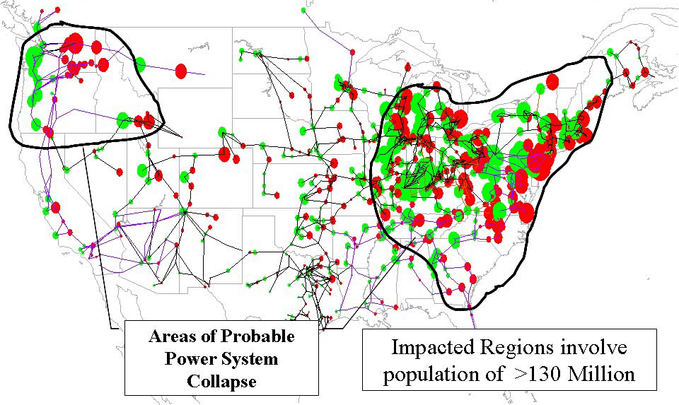
Even something as common as a power outage can be a serious event. It can be caused by a storm, but it can also result from an overloaded, aging power grid. A prolonged outage can affect everything from clean water and food safety to communications and medical equipment.
Finding Your Local Hazard Info
So how do you figure out the specific risks for your home? You don't have to guess. This information is readily available from reliable sources.
Your local government is the best place to start. Your city or county's emergency management agency website will have detailed information about the hazards in your area. They often provide hazard maps that show floodplains, wildfire risk zones, and other critical data.
The Federal Emergency Management Agency (FEMA) also offers tools, like the National Risk Index, which provides a comprehensive overview of natural hazard risks across the United States. Local news archives can also be a good resource to see what kinds of emergencies have happened in your community in the past.
Use official sources. Your local emergency management agency website is the most accurate place to learn about the risks in your specific area.
Once you know the potential hazards, you can assess their likelihood and potential impact. Is a flood a once-in-a-century event, or does your street get water every few years? Would an earthquake be a minor rattle or a major disaster? Asking these questions helps you prioritize your preparedness efforts.
Why is it important to identify your local hazards before making an emergency plan?
A chemical spill from a train derailment near your home would be classified as which type of hazard?
Learning about your local risks is the foundation of all emergency planning. It transforms preparedness from a generic checklist into a personalized, effective strategy.