History of Manhattan's Upper West Side
Early Settlements
From Farmland to a Blueprint
For much of the 18th and early 19th centuries, the land we now call the Upper West Side was a world away from the crowded streets of New York City to the south. It was a landscape of rolling hills, dense woods, and sprawling farms, dotted with the country estates of wealthy families seeking refuge from the city's noise and grit.
This rural area, known as Bloomingdale after the Dutch phrase Bloemendaal (valley of flowers), wasn't entirely wild. A few small communities took root. The most significant was Harsenville, a small village centered around the farm of the Harsen family. It clustered around what is now Broadway and 70th Street.
Another settlement, Bloomingdale Village, was located further north, near present-day 100th Street. These weren't bustling towns but collections of farmhouses, a tavern, a blacksmith shop, and a church. They served the needs of the local farmers and the families who maintained large country homes in the area, such as the Apthorp and Stryker families.
A Grid for the Future
Life in Bloomingdale was quiet and pastoral. But down in the city, officials were looking north with ambitious plans. The city was growing, and its chaotic, colonial-era street layout was becoming a problem. In 1811, a state commission unveiled a radical solution: the Commissioners’ Plan.
The Commissioners' Plan of 1811 was a visionary blueprint that proposed a rectangular grid of streets and avenues for all of Manhattan north of Houston Street. It ignored the island's natural hills and valleys, imposing a rigid, logical order on the untamed landscape.
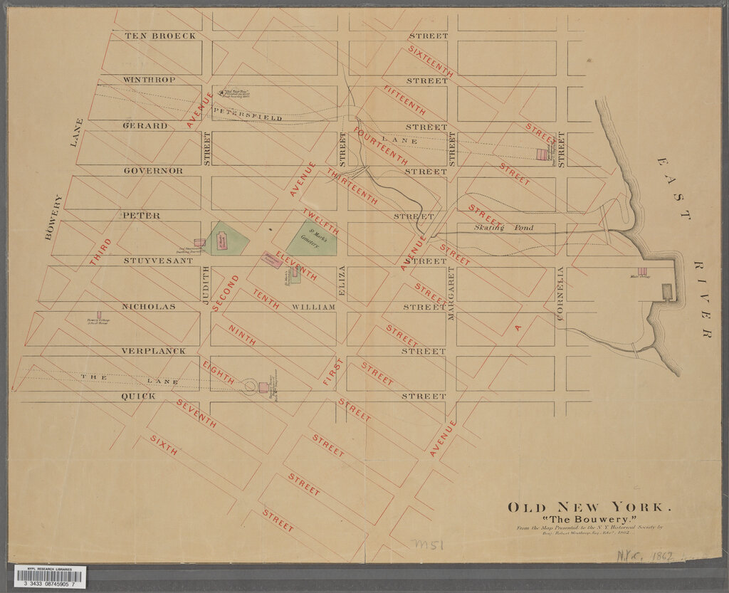
For the residents of Harsenville and Bloomingdale, the plan was just lines on a map. Their farms, homes, and country roads didn't disappear overnight. The grid's impact would not be fully felt for decades. But the plan was a declaration of intent. It marked the end of the area's identity as a purely rural escape and the beginning of its slow, inevitable incorporation into the fabric of New York City.
The plan was designed for efficiency and future real estate development, creating thousands of rectangular lots that were easy to buy and sell. It was a powerful vision that would ultimately erase the old farm boundaries and winding lanes, paving the way for the neighborhood we know today.
Let's check your understanding of these early developments.
What was the primary character of the area now known as the Upper West Side during the 18th and early 19th centuries?
The name "Bloomingdale," used for the area, originated from a phrase meaning "valley of flowers" in which language?
This period laid the essential groundwork. The transformation from scattered farms to a planned urban grid set the stage for the dramatic growth that would come later.