Getting Started with Esri Field Maps
Introduction to Esri Field Maps
Taking the Lab Outdoors
Fieldwork used to mean juggling a lot of gear. Imagine a scientist studying a forest. They might have a paper map, a clipboard for notes, a separate GPS unit to find their location, and a camera to take photos. Each tool served one purpose, and combining all the information later back at the office was a slow, manual process.
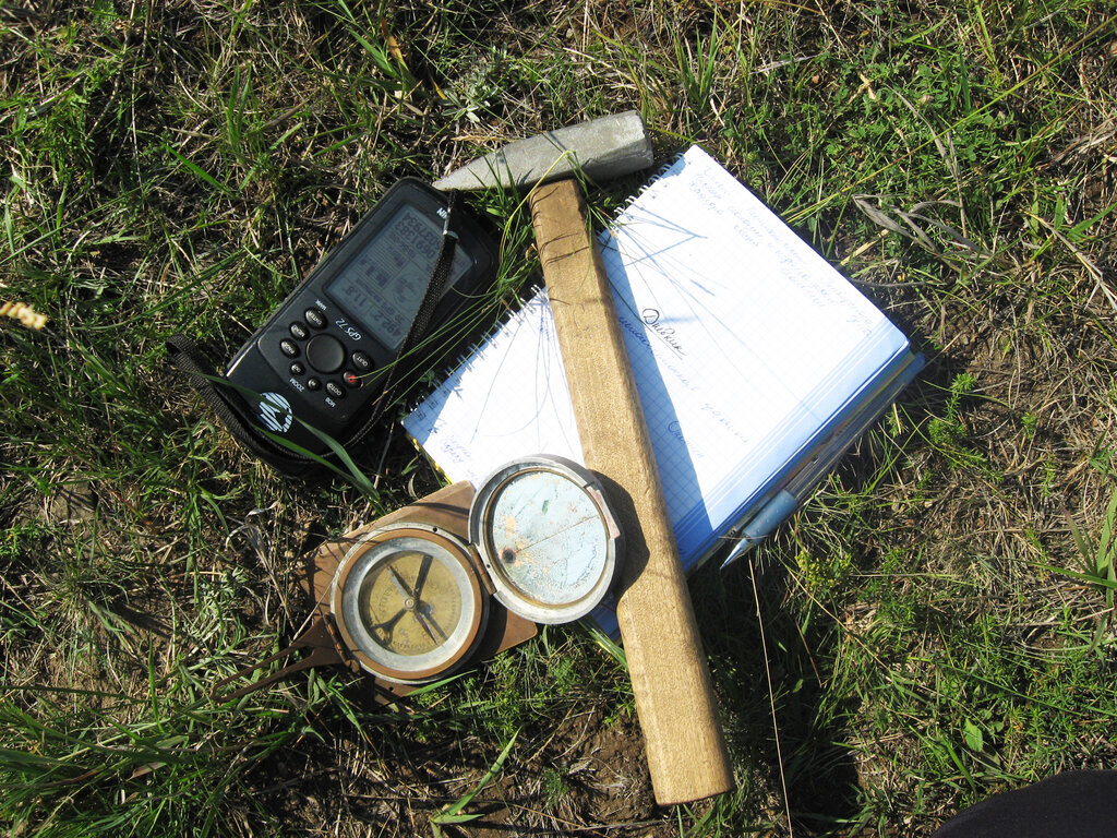
This method was prone to errors. A misplaced decimal on a coordinate, messy handwriting, or a coffee spill on a map could ruin a day's work. The core challenge was clear: how do you bring the power and precision of digital mapping tools out from behind a desk and into the field?
One App, Many Jobs
Esri Field Maps is the modern answer. It’s a single application for a phone or tablet that combines the essential tools for fieldwork. Instead of a bag full of equipment, a fieldworker now just needs one device. The goal is to make collecting and using geographic data simpler, faster, and more accurate.
With ArcGIS Field Maps, you can collect and update your authoritative data wherever your work takes you—be that inside, outside, online, or offline.
The app rolls several key functions into one package, effectively replacing older, separate Esri apps like Collector, Explorer, and Tracker. Let's look at its main capabilities.
Smart Maps and Data
At its heart, Field Maps is a powerful map viewer. It lets you take complex, data-rich maps with you anywhere. These aren't just static images like a screenshot. They are interactive maps where you can zoom in, pan around, and tap on any feature, like a fire hydrant or a property line, to see detailed information about it.
But viewing is just the start. The app's primary strength is data collection. A city inspector can mark the location of a pothole, fill out a form with details about its size, and attach a photo, all within the app. This information is instantly uploaded and available to the team back at the office. This real-time link between the field and the office is what makes the system so powerful.
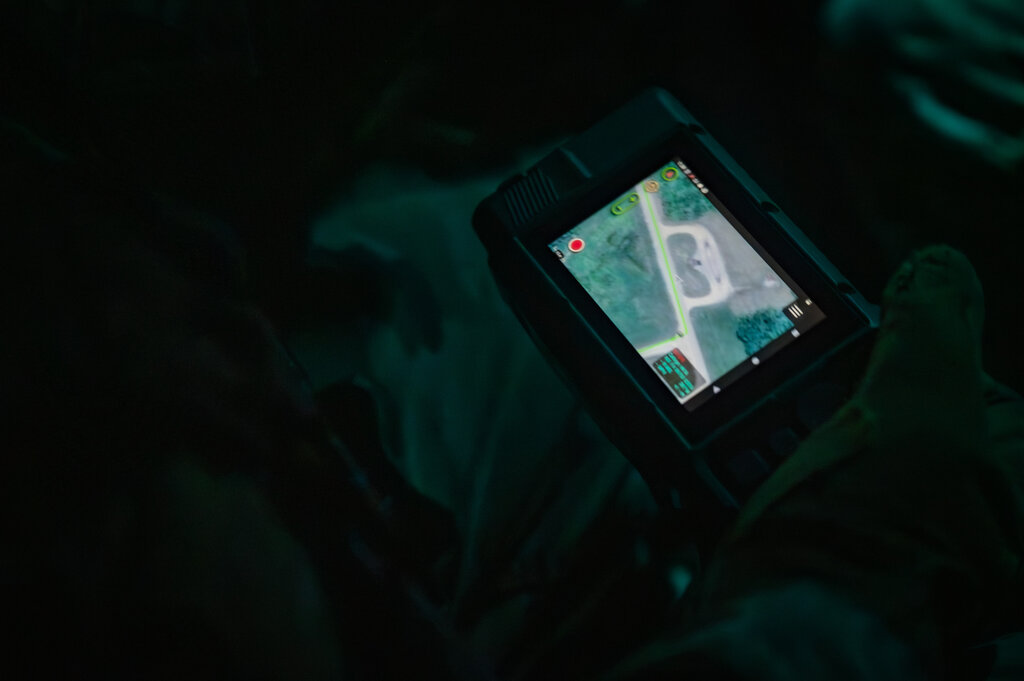
Finally, there's location tracking. Field Maps can record the location of workers as they move through an area. This is useful for creating a record of where someone has been, like tracking the path a snowplow took during a storm. For managers, it provides an overview of where their team is, improving coordination and safety.
By combining these features, the app streamlines the entire fieldwork process. It turns a smartphone into a professional-grade GIS tool, making data collection more efficient and reliable for everyone from ecologists to utility workers.
What was the primary challenge associated with traditional, non-digital fieldwork methods?
Which three core functionalities are combined into the single Esri Field Maps application?