Geospatial Search Optimization for LLMs
Introduction to Geospatial Data
What Is Geospatial Data?
Geospatial data is information that's tied to a specific location on Earth. Think of it as data that answers the question “where?” It could be the coordinates of a coffee shop, the route of a river, or the boundary of a country. This location-based information allows us to see, understand, and analyze patterns and relationships in a geographic context.
This data comes in two main flavors: vector and raster.
Vector data uses points, lines, and polygons to represent distinct, well-defined objects. A single point could mark a city. A line could represent a road. A polygon could outline a lake.
Raster data is made up of a grid of cells, or pixels, much like a digital photograph. Each cell has a value representing a characteristic of that location, such as temperature, elevation, or land cover. Satellite images are a common example.
Where Does This Data Come From?
Geospatial data is collected from a wide variety of sources, each with its own strengths and purposes.
Satellite Imagery
noun
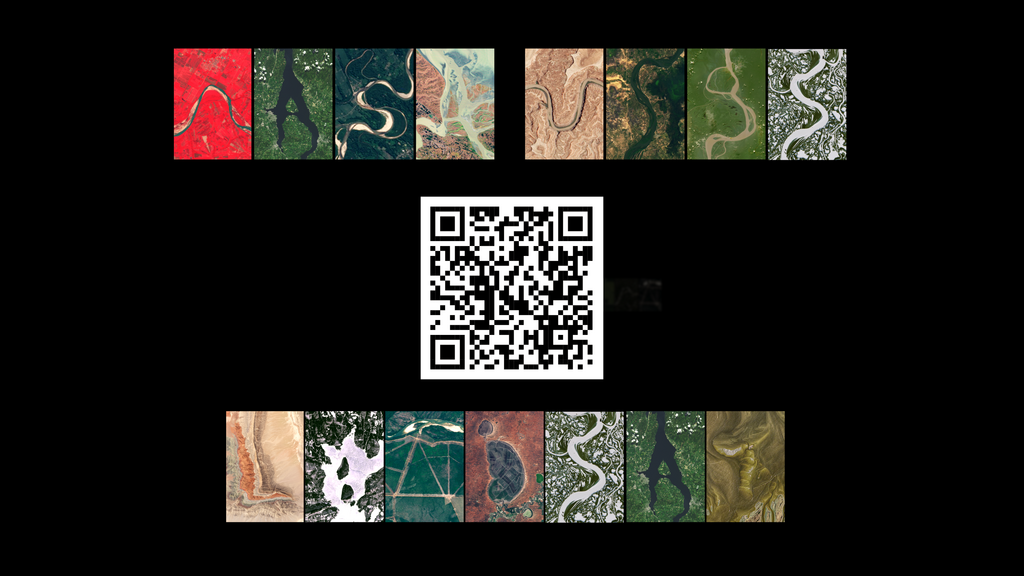
Satellites continuously orbit the Earth, capturing images of its surface. This provides a wealth of raster data used for monitoring environmental changes, urban planning, and agriculture.
Another key source is the Global Positioning System (GPS). GPS receivers determine their precise location on Earth by receiving signals from a network of satellites. This technology is the backbone of navigation apps and is also used by surveyors and scientists to collect highly accurate point data in the field.

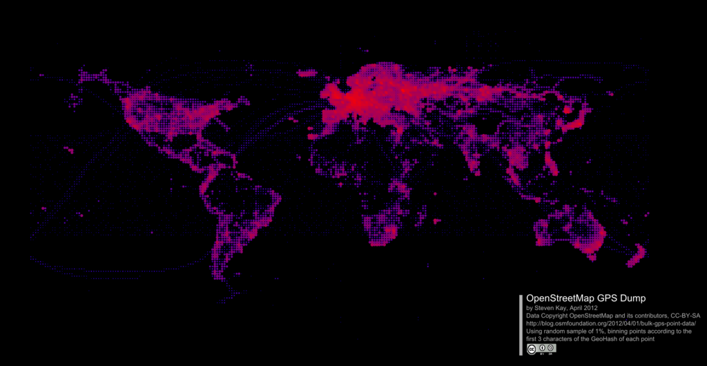
Finally, a huge amount of data comes from crowdsourcing. Platforms like OpenStreetMap (OSM) rely on a global community of volunteers who map their local areas. They add everything from roads and buildings to hiking trails and businesses, creating a free and detailed map of the world that is constantly updated.
Making Sense of Location
To be useful, all this location data needs a common frame of reference. This is where coordinate systems come in. A coordinate system is a framework for defining locations. The most widely known is the geographic coordinate system, which uses latitude and longitude to specify positions on the Earth's surface.
Latitude lines run east-west, parallel to the equator, and measure distance north or south. Longitude lines run north-south, from pole to pole, and measure distance east or west from the prime meridian.
With a coordinate system in place, we can start to analyze spatial relationships—the ways in which objects are located relative to one another. We can ask questions like:
- Which schools are within this city's boundary?
- Which roads intersect with this proposed highway?
- How many hospitals are near this earthquake's epicenter?
These relationships are fundamental to geospatial analysis and are used in countless applications, from emergency response planning to marketing.

By representing our world as data, we can unlock powerful insights and make better, more informed decisions.