Geodetic Polygon Traverse
Introduction to Geodesy
What is Geodesy?
At its heart, geodesy is the science of measuring Earth. It's not just about making maps. It’s about understanding our planet’s exact shape, how it's oriented in space, and its gravitational pull. Think of it as creating an ultra-precise digital twin of our world.
geodesy
noun
The science of accurately measuring and understanding the Earth's geometric shape, orientation in space, and gravitational field.
Without geodesy, the blue dot on your phone’s map wouldn't know where to go. Civil engineers couldn't design bridges or tunnels with confidence. Even tracking sea-level rise depends on the precise measurements provided by this field. It’s the invisible framework for almost all geographic information.
More Than Just a Sphere
We learn in school that the Earth is a sphere. That's a good first approximation, but it's not the whole story. The planet’s rotation causes it to bulge slightly at the equator and flatten at the poles. The technical term for this shape is an oblate spheroid or ellipsoid.
The Earth's diameter is about 43 kilometers (27 miles) wider at the equator than it is from pole to pole.
But geodesists need even more accuracy. The Earth's surface isn't smooth; it has mountains and trenches. Its gravitational field isn't uniform, either. Denser parts of the planet pull more strongly than less dense areas. To account for these lumps and bumps, scientists use a model called the geoid.
The geoid represents what mean sea level would be if it were extended across the entire globe, under the influence of gravity alone. It's an uneven, complex surface that serves as the true zero surface for measuring elevation.
Finding Your Place
To describe a location on a complex shape like the Earth, we need a consistent grid system. This is where coordinate systems come in. The most familiar one is the Geographic Coordinate System, which uses latitude and longitude.
Latitude lines (parallels) run east-west, measuring distance north or south of the equator. Longitude lines (meridians) run from pole to pole, measuring distance east or west of the Prime Meridian in Greenwich, England.
While great for a globe, this system is tricky to use on a flat map. That’s why we also have projected coordinate systems. These are mathematical methods for transferring points from the Earth's curved surface onto a flat plane. Every projection introduces some distortion in area, shape, distance, or direction, but they are essential for creating usable paper and digital maps.
Geodesy in Action
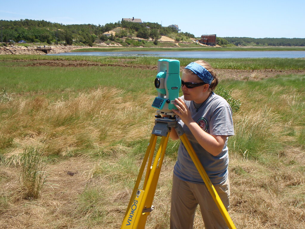
The principles of geodesy are fundamental to many technologies we use daily. Surveyors rely on geodetic principles to establish property boundaries, plan construction projects, and monitor the movement of land and structures. Without a precise understanding of the Earth's shape and gravity, building a long bridge or tunnel would be nearly impossible.
Modern navigation is perhaps the most widespread application. The Global Positioning System (GPS) is a marvel of geodesy. A receiver in your car or phone determines your location by calculating its distance from several satellites. This calculation only works because we know the exact position of those satellites within a highly accurate, Earth-centered coordinate system. The system even has to account for tiny shifts in the Earth's crust and the subtle effects of relativity on the satellites' clocks.
In this lesson, students investigate the fundamental concepts of GPS technology — trilateration and using the speed of light to calculate distances.
Let's check your understanding of these core concepts.
What is the primary focus of the science of geodesy?
Which model provides the most accurate representation of Earth's surface by accounting for gravitational variations and serving as the 'true zero' for elevation?
From defining the boundaries of a nation to guiding your drive to the grocery store, geodesy is the foundational science that helps us locate ourselves and build our world on a complex and dynamic planet.