GeoAI Explained
Introduction to GeoAI
Giving AI a Sense of Place
Artificial intelligence is great at finding patterns in data. But most data lacks a crucial piece of context: location. GeoAI, or Geospatial Artificial Intelligence, changes that. It's the fusion of AI with geospatial science, the field dedicated to understanding our world through location-based data.
Think of it this way: AI on its own might analyze a million photos of trees. GeoAI analyzes those same photos but also knows where each tree is. This allows it to see bigger patterns, like how a forest is shrinking over time or where a certain tree species thrives. It connects the 'what' with the 'where'.
This integration combines the tools of geography, like Geographic Information Systems (GIS) and remote sensing from satellites, with powerful AI techniques. Deep learning helps find complex patterns in satellite imagery, computer vision identifies objects like buildings or roads, and natural language processing can even extract location information from text.
The Fuel for GeoAI
GeoAI runs on a special kind of information called spatial data. This is simply data that has a geographic component attached to it. It can be a satellite photo, the GPS coordinates from your phone, the path of a delivery truck, or even a zip code.
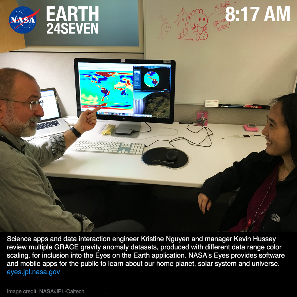
What makes spatial data powerful isn't just knowing a single location, but understanding the relationships between many locations. Is a new housing development near a flood zone? Are cancer cases clustered in a specific neighborhood? GeoAI is designed to answer these kinds of spatially-aware questions by analyzing vast amounts of this location-based data.
Automating the World Map
Traditionally, analyzing geographic data was a slow, manual process. An analyst might spend weeks tracing all the new roads in a region from aerial photos. GeoAI automates these kinds of tasks, allowing us to perform them at a speed and scale that was previously unimaginable.
With GeoAI, we can move from analyzing a single city to monitoring the entire planet in near real-time.
Key automated tasks include:
-
Feature Extraction: Automatically identifying and mapping specific objects from imagery, like solar panels on rooftops or damaged buildings after an earthquake.
-
Classification: Categorizing land based on what's on it. For example, an algorithm can look at a satellite image and automatically classify different areas as forest, water, farmland, or urban development.
-
Change Detection: Comparing images of the same place over time to automatically spot differences, such as urban sprawl, melting glaciers, or the impact of a wildfire.
Applications Across Sectors
By combining location-based data with intelligent analysis, GeoAI is transforming how many industries operate. It provides deeper insights and helps organizations make smarter, faster decisions.
| Sector | How GeoAI Helps |
|---|---|
| Agriculture | Monitors crop health from space to optimize irrigation and fertilizer use. |
| Urban Planning | Analyzes traffic patterns to reduce congestion and plans new infrastructure. |
| Environmental Monitoring | Tracks deforestation, monitors air and water pollution, and maps wildlife habitats. |
| Disaster Response | Quickly assesses damage after floods or hurricanes to direct emergency crews. |
| Retail | Identifies the best locations for new stores based on customer demographics and travel patterns. |
This ability to process massive datasets and generate predictions is what makes GeoAI a powerful tool for tackling some of the world's most complex challenges.
By blending AI, machine learning, and geospatial data, GeoAI is transforming Location-Based Services (LBS) into dynamic, real-time, and predictive tools that are reshaping industries.
Time to review what you've learned.
Now, let's check your understanding.
What is the primary advantage of GeoAI compared to traditional AI?
An algorithm analyzes a satellite image and automatically labels different areas as 'forest', 'water', or 'urban development'. This task is best described as:
By giving AI the context of 'where,' GeoAI unlocks a new level of understanding about the world around us.