Foundations of Land Surveying
Introduction to Land Surveying
Mapping Our World
Everywhere you look, the human world is built on lines. Property lines separate your home from your neighbor's. Roads follow specific paths. Buildings stand on carefully planned foundations. But who draws these lines? Who ensures they are correct? The answer lies in the ancient practice of land surveying.
Land surveying is the measurement and mapping of Land using mathematics, specialized technology and equipment.
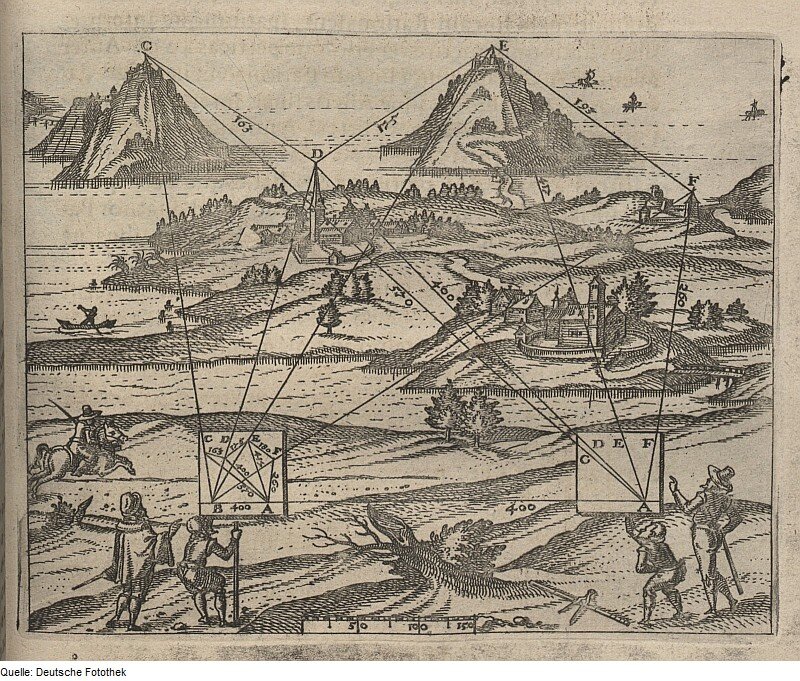
Surveying isn't a new idea. It's a craft that's as old as civilization itself. Thousands of years ago, ancient Egyptians used surveyors to re-establish farm boundaries after the Nile River's annual floods washed away markers. The Romans relied on surveyors, known as gromatici, to lay out their famously straight roads and build their sprawling cities and aqueducts. Without surveying, accurate maps for exploration, trade, and military campaigns would have been impossible.
The Modern Surveyor's Role
Today, a surveyor's job is more critical than ever. They are the first people on any construction site, mapping the land to ensure buildings, dams, and bridges are built in the correct location and on stable ground. They determine legal property boundaries for real estate transactions, settling disputes and providing clarity for landowners.
Surveyors play an integral role in land development, from land subdivision planning and design to the final road, utility and landscaping construction.
Their work extends to monitoring the movement of land and structures, mapping the seafloor, and helping to manage natural resources. They use a wide array of technology, from robotic total stations to GPS and aerial drones, but the fundamental task remains the same: to measure and map our world with reliability.
Accuracy, Precision, and Trust
In surveying, two words are paramount: accuracy and precision. They might sound like the same thing, but they have distinct meanings.
Accuracy is how close a measurement is to the true, correct value.
Precision is how close a series of measurements are to each other.
The goal for a surveyor is to be both accurate and precise. A precise measurement that is not accurate is wrong, just consistently wrong. An accurate measurement that isn't precise is unreliable. Achieving both is essential because small errors on paper can become costly and dangerous mistakes in the real world.
This commitment to accuracy and precision builds the foundation of trust upon which the profession is built. A surveyor's measurements are taken as fact in legal disputes, architectural plans, and engineering projects.
Because of this, surveyors adhere to a strict code of ethics. They have a professional responsibility to the public, their clients, and the profession to provide impartial and correct information. Their work must be based on objective evidence, meticulous measurements, and sound judgment. They create the maps and boundaries that define our physical world, and that requires a foundation of unwavering integrity.
Now, let's test your understanding of these core concepts.
What is the primary role of a surveyor on a modern construction site?
Which ancient civilization used surveyors called gromatici to lay out their famously straight roads?
From ancient property lines to modern infrastructure, surveyors provide the essential framework that allows us to build and organize our society.