Exploring the Black Forest
Geographical Overview
A Forest on a Map
The Black Forest, or Schwarzwald in German, is a large, forested mountain range in southwestern Germany. It's located in the state of Baden-Württemberg, near the borders of France and Switzerland.
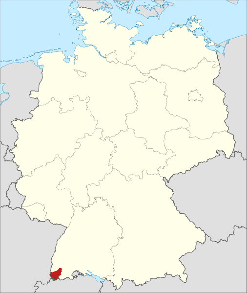
This region stretches about 160 kilometers (or roughly 100 miles) from north to south. It begins near the city of Karlsruhe and extends all the way down to the High Rhine river at the Swiss border. Its width varies, ranging from about 16 to 40 kilometers (10 to 25 miles) across.
Highlands and Headwaters
Geologically, the Black Forest is a granite highland. This means its mountains are ancient and have been worn down over millions of years, leaving them with rounded, gentle summits rather than sharp, jagged peaks. The highest point in the range is the Feldberg, which stands at 1,493 meters (4,898 feet).
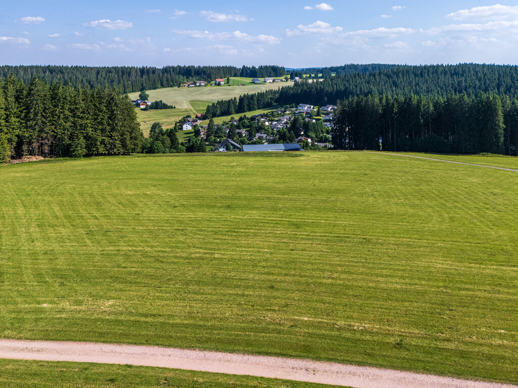
This elevated landscape is a crucial water source for the region. Two of Europe's major rivers, the Danube and the Neckar, have their origins here. Countless smaller streams and rivers also begin their journeys in these mountains, carving valleys through the terrain as they flow towards larger waterways.
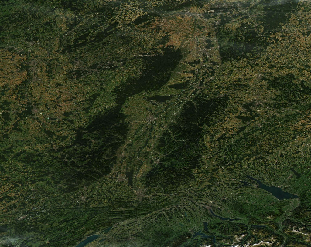
The western and southern edges of the Black Forest are defined by the Rhine Valley. The Rhine River creates a natural and distinct border, separating the Black Forest from the Vosges mountains in France.
A Sea of Trees
The forest got its name for a reason. It is renowned for its vast, dense woodlands. The Romans, who encountered the range centuries ago, called it Silva Nigra—the Black Forest—because the canopy of fir and spruce trees was so thick that it blocked out much of the sunlight, making the forest floor dark and shaded.
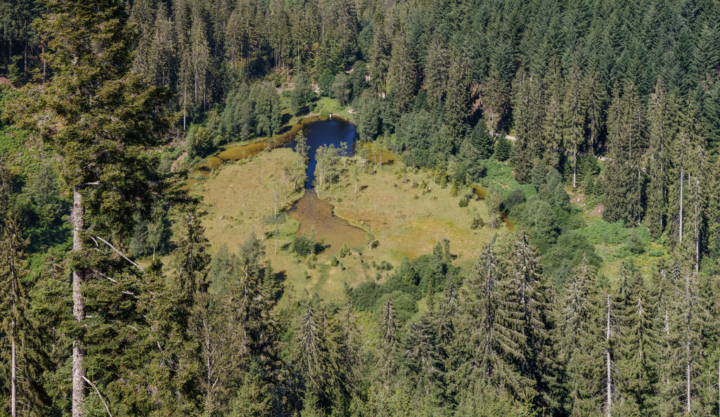
While fir and spruce dominate the higher elevations, the lower slopes also feature deciduous trees like beech and oak. This mix of trees creates a rich, diverse ecosystem that changes with the altitude and seasons.