Edge Analytics for Earth Observation
Introduction to Earth Observation
A Planet-Sized Perspective
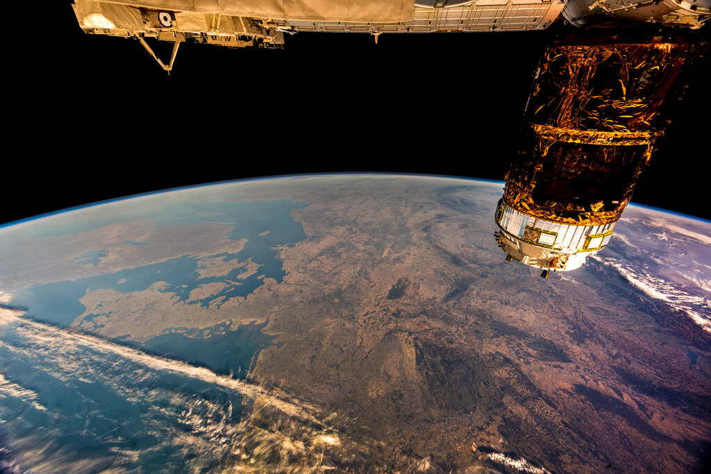
For centuries, we’ve mapped our world from the ground, one step at a time. But in the 20th century, we gained a new vantage point: space. Earth observation is the science of gathering information about our planet from a distance, primarily using satellites. It’s like giving Earth a regular check-up, monitoring its vital signs from hundreds or even thousands of miles away.
The idea isn't brand new. Early aerial photography from balloons and planes gave us our first bird's-eye views. But the launch of the first satellites in the late 1950s and 60s revolutionized the field. For the first time, we could see the entire globe, watch weather systems swirl across continents, and track changes in remote, inaccessible places over time.
The Tools of the Trade
Earth observation satellites are our eyes in the sky, and they come in two main orbital flavors. Some are in geostationary orbit, meaning they stay fixed over the same spot on the equator. Think of them as dedicated security cameras for the planet, perfect for constantly watching weather patterns develop. Others are in polar orbit, circling from pole to pole as the Earth spins beneath them. This allows them to scan the entire surface of the planet strip by strip, creating detailed global maps.
These satellites use different kinds of sensors to collect data. Passive sensors work like a digital camera, capturing reflected sunlight or thermal energy that the Earth naturally emits. They're great for taking color photos of land and sea. Active sensors, on the other hand, send out their own energy pulse, like a flash or a ping, and then measure what bounces back. Radar and lidar are common active sensors, capable of seeing through clouds, measuring the height of forests, and mapping the shape of the land.
Putting Data to Work
So, what do we do with all this information? The applications are vast and impact our daily lives in countless ways.
Environmental Monitoring: Satellites help us track the health of our planet. We can monitor deforestation in the Amazon, measure the shrinking of polar ice caps, and detect harmful algal blooms in lakes and oceans. This data is crucial for understanding climate change and protecting ecosystems.
Disaster Response: When a hurricane, wildfire, or earthquake strikes, satellite imagery provides first responders with a quick, large-scale view of the damage. They can see which roads are blocked, which neighborhoods are flooded, and where to focus their rescue efforts. This rapid insight saves lives.
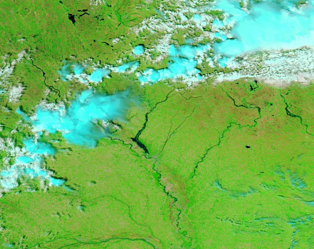
Resource Management: Farmers use satellite data to monitor crop health and optimize irrigation, helping to ensure our food supply. City planners use it to track urban growth, and water managers use it to monitor reservoir levels and snowpack in the mountains that will feed rivers in the spring.
A Flood of Information
This constant stream of data from space creates a significant challenge. Modern satellites generate terabytes of information every single day. Traditionally, all this data had to be sent down to a few large ground stations, processed in massive data centers, and then distributed to scientists and users.
This process can be slow and expensive. Imagine trying to download a movie that’s thousands of times larger than a typical HD film over a slow connection. By the time you get the information, the situation on the ground might have already changed. This data bottleneck is one of the biggest hurdles in using Earth observation to its full potential, especially for time-sensitive events like natural disasters.
What is the primary difference between passive and active sensors used in Earth observation?
A satellite designed to provide continuous, real-time monitoring of a specific region, like the Amazon rainforest, would be most effective in which type of orbit?