Discovering Whalley Lancashire
Village Geography
The Lay of the Land
Whalley is a historic village nestled in the heart of the Ribble Valley, a district in Lancashire, North West England. Its location is defined by the gentle flow of the River Calder, which runs along the village's eastern edge. This river has shaped not just the landscape but also the life of the village for centuries.
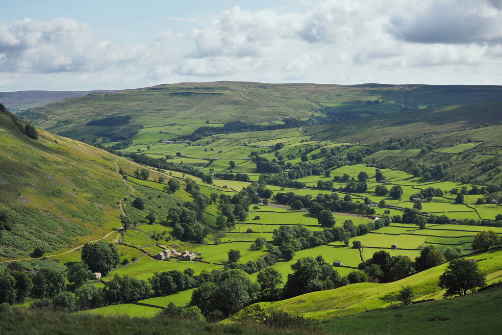
Overlooking the village from the south is Whalley Nab, a prominent wooded hill. Its presence is a constant backdrop to village life and a key landmark for locals and visitors alike. The Nab provides a natural boundary and offers commanding views of the surrounding countryside.
Borough
noun
A town or district that is an administrative unit.
Administratively, Whalley sits within the Borough of Ribble Valley. While it has its own distinct identity, it's closely connected to its neighbours. The market town of Clitheroe is just a short journey to the north, and the larger town of Blackburn lies to the south, making Whalley a well-positioned hub in the region.
A Victorian Marvel
One of the most impressive man-made features of Whalley is its railway viaduct. Completed in 1850, this stunning example of Victorian engineering carries the Ribble Valley Line across the Calder Valley. Its sheer scale is hard to miss.
The Whalley Viaduct is built from over seven million red bricks and stretches for more than 600 metres, supported by 48 massive arches.
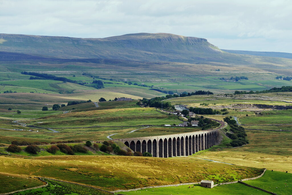
The viaduct is not just a piece of transport infrastructure; it's a beloved landmark that dominates the skyline. It serves as a powerful reminder of the Industrial Revolution's impact on this otherwise rural landscape, connecting Whalley by rail to the wider region.
Which river runs along the eastern edge of Whalley?
What is the name of the prominent wooded hill that overlooks Whalley from the south?