Discover Thailand
Geography
A Land of Contrasts
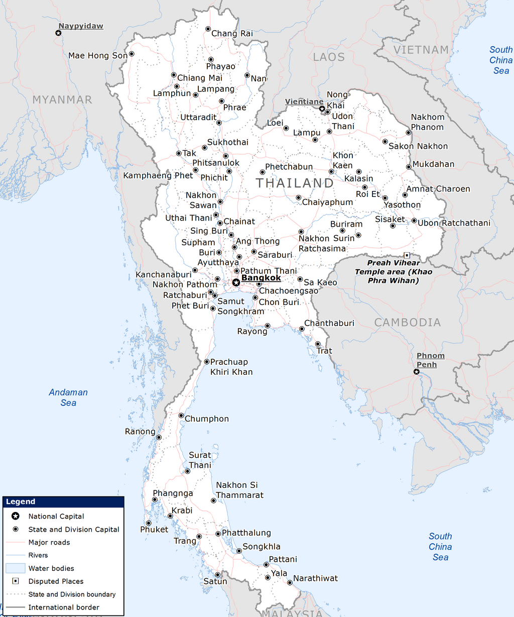
Thailand's geography is a story of dramatic variety. Imagine a country shaped like an elephant's head. The north is a rugged landscape of forested mountains. The center is a vast, flat plain, nourished by rivers. To the northeast lies a huge plateau, and the long southern peninsula is fringed with famous coastlines. This diversity has shaped everything from what people grow to how they live.
The Lay of the Land
Thailand can be broadly divided into four main topographical regions, each with its own personality.
The North is dominated by the Thai Highlands, a series of mountain ranges that extend south from the Tibetan Plateau. This is where you'll find Doi Inthanon, the country's highest peak. The cool, rugged terrain is home to many of Thailand's ethnic minority groups, often called 'hill tribes,' and is ideal for growing crops like coffee, tea, and strawberries.
To the Northeast, the landscape opens up into the Khorat Plateau. This massive, gently rolling plateau, known as Isan, covers a third of the country. It's bordered to the east by the mighty Mekong River. The soil here tends to be sandy and less fertile than in the central plains, presenting unique challenges for farmers.
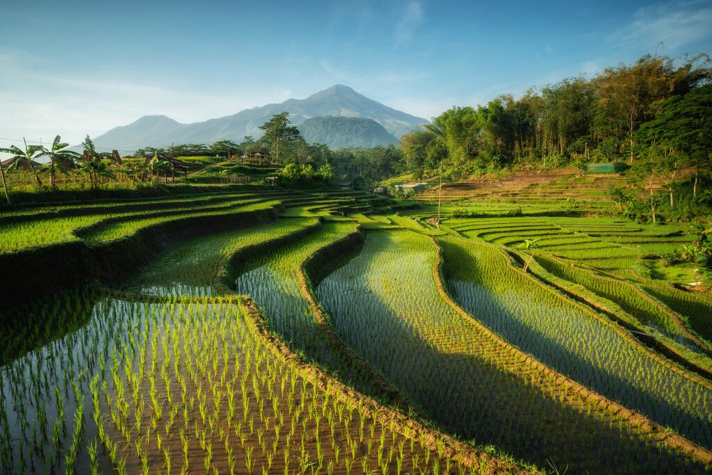
The Central Plains are the nation's heartland. This incredibly flat and fertile basin is crisscrossed by rivers, making it one of the most productive agricultural areas in the world. Often called the "rice bowl of Asia," its geography is perfectly suited for wet-rice cultivation. This region is also the most densely populated, home to the capital, Bangkok.
Finally, the South consists of the long, narrow Kra Isthmus. A spine of mountains runs down the middle, flanked by coastal plains on both sides. To the east is the Gulf of Thailand, and to the west is the Andaman Sea. This geography gives the south its stunning beaches, islands, and a thriving economy based on tourism, fishing, and rubber plantations.
Water and Weather
Thailand's climate is tropical and dominated by monsoons, which create distinct seasons throughout the year. Instead of four seasons, most of the country experiences three: a hot season, a rainy season, and a cool season. The timing and intensity can vary by region, but the general pattern holds true for most of the country.
The southwest monsoon, arriving from the Indian Ocean, brings moisture and marks the start of the rainy season. Conversely, the northeast monsoon ushers in cooler, drier air from Central Asia.
| Season | Typical Months | Characteristics |
|---|---|---|
| Hot | March - May | High temperatures and humidity. |
| Rainy | June - October | Heavy rainfall, especially in the afternoon. Peak of the agricultural season. |
| Cool | November - February | Lower temperatures and humidity. Generally clear skies. |
Water is the lifeblood of Thailand, and its river systems are central to its identity and economy. The Chao Phraya River is the most significant. It flows through the Central Plains, past Bangkok, and empties into the Gulf of Thailand. For centuries, it has served as a primary artery for transport, irrigation for rice paddies, and a source of food.
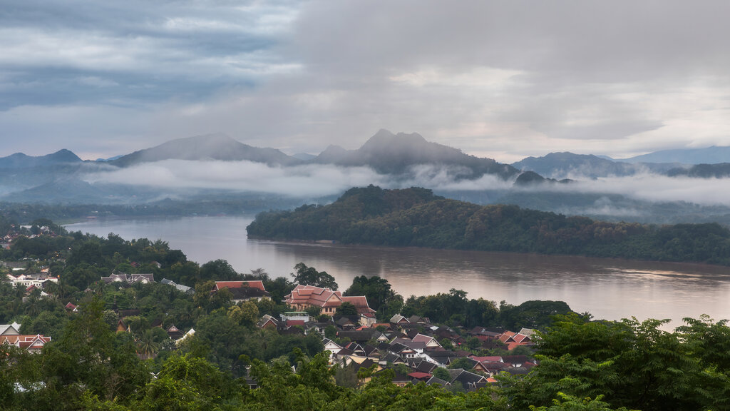
In the north and northeast, the Mekong River forms a natural border with Laos. It is a vital resource for communities along its banks, supporting fishing and agriculture, although its flow is increasingly affected by dams built upstream in other countries. Other key rivers, like the Chi and Mun on the Khorat Plateau, are crucial local waterways for their respective regions.
Resources and Regions
Thailand's varied geography has blessed it with a range of natural resources. The fertile central plains are perfect for rice, while the southern peninsula's climate is ideal for rubber trees and oil palms. The northern mountains contain valuable minerals, including tin, tungsten, and gemstones, although mining is less prominent today than in the past.
The long coastlines are another significant resource. The Gulf of Thailand and the Andaman Sea support a massive fishing industry and, of course, a world-famous tourism sector built around beaches and islands.
These geographical differences create distinct regional cultures. The food in the north, for example, is influenced by the cooler climate and neighboring Myanmar, featuring less coconut milk and different spices than southern cuisine. Lifestyles in the rural, agricultural northeast are vastly different from the bustling, cosmopolitan life in Bangkok or the tourist-focused economies of the south. In this way, the map of Thailand is not just a physical one; it's a cultural one, drawn by mountains, rivers, and coastlines.
Let's review the key geographical concepts we've covered.
Now, test your understanding of Thailand's diverse landscape.
A company wants to start a large-scale coffee plantation in Thailand. Based on the country's geography, which region would be the most suitable?
Which geographic feature is often called the 'rice bowl of Asia' due to its incredible fertility and suitability for wet-rice cultivation?
Understanding Thailand's geography is the first step to understanding the country itself. The physical landscape provides the stage on which its culture, economy, and history unfold.