Discover Switzerland
Geography
A Land of Mountains and Valleys
Switzerland is a landlocked country in the heart of Western Europe, defined by its dramatic natural landscapes. It shares borders with five nations: Germany to the north, France to the west, Italy to the south, and Austria and Liechtenstein to the east. This central location has shaped its history and culture for centuries.
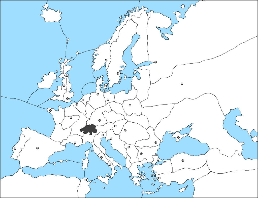
The country's geography is divided into three distinct regions, each with its own character. These are the Alps, the Swiss Plateau, and the Jura Mountains.
The Mighty Alps
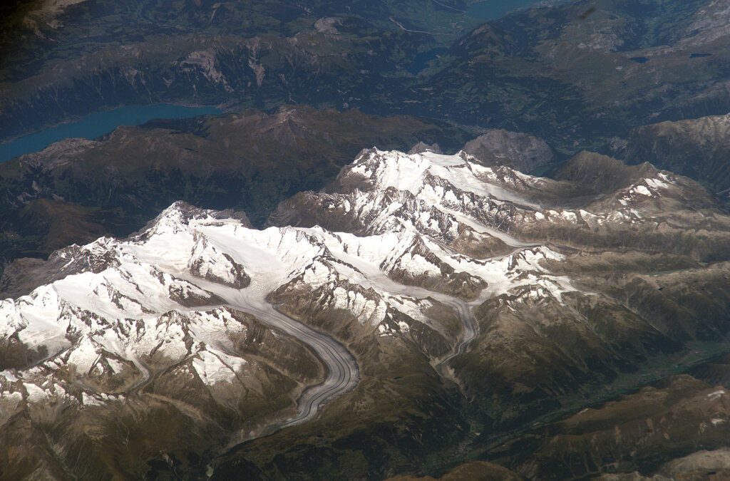
The Swiss Alps are the country's most iconic feature, covering about 60% of its total area. This massive mountain range runs across the southern part of Switzerland, boasting towering, snow-capped peaks, vast glaciers, and deep valleys. Many of Europe's highest mountains are found here, including the famous Matterhorn and the Dufourspitze.
Despite their ruggedness, the Alps are not just empty wilderness. They are crisscrossed by vital mountain passes that have been used for trade and travel for thousands of years. The region is also the source of major European rivers.
The Swiss Plateau
Stretching between the Alps and the Jura Mountains is the Swiss Plateau, or Mittelland. This region of rolling hills, plains, and large lakes is the heartland of Switzerland. While it only makes up about 30% of the country's land area, it is home to the majority of the Swiss population and its largest cities, including Zürich, Geneva, and the capital, Bern.
The Plateau's fertile soil makes it the country's agricultural center. It's a landscape shaped by ancient glaciers, which carved out the valleys and deposited the rich soil that supports farming today.
The Jura Mountains
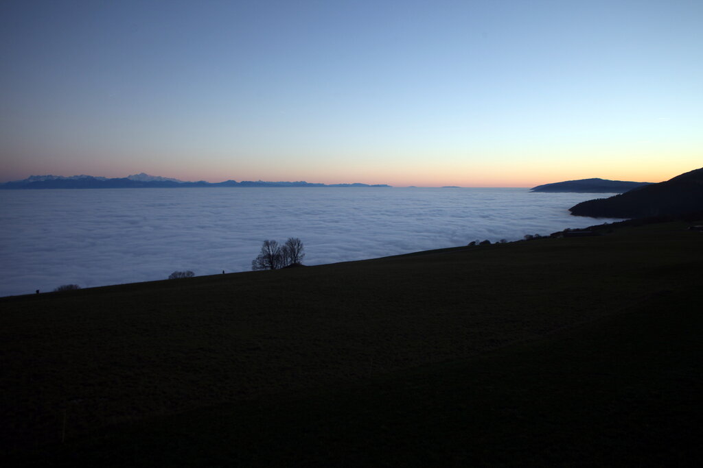
To the northwest, forming a natural border with France, are the Jura Mountains. This range is smaller and lower than the Alps, covering about 10% of Switzerland. The Jura is a limestone mountain range characterized by its forested ridges and river valleys.
Unlike the jagged peaks of the Alps, the Jura's landscape is gentler, with a high plateau that is home to farms and small villages. It's a region known for watchmaking and its serene, pastoral beauty.
Rivers and Lakes
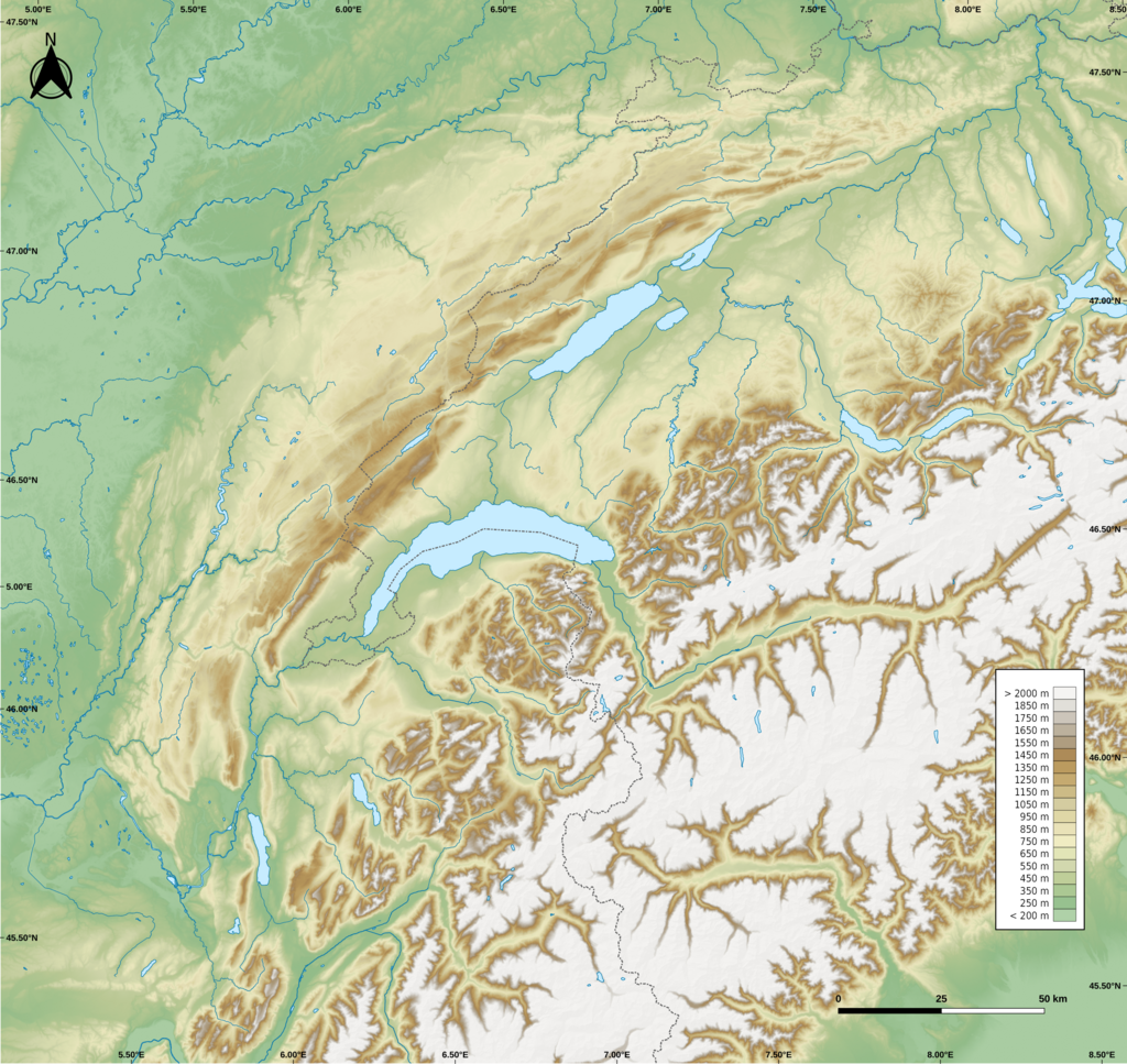
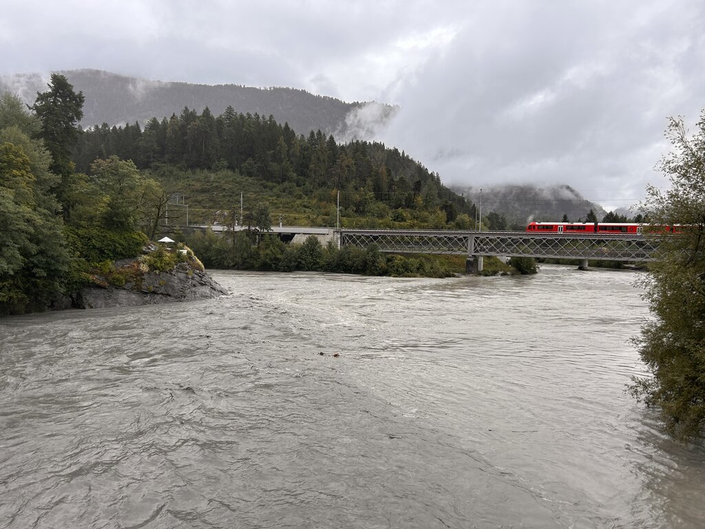
Switzerland is often called the "water tower of Europe" because several major rivers originate in the Swiss Alps. The mountains' glaciers and snowmelt feed these powerful waterways. Two of the most significant are the Rhine and the Rhône.
The Rhine begins in the eastern Swiss Alps and flows north, eventually emptying into the North Sea. It forms a part of Switzerland's border with Liechtenstein, Austria, and Germany. The Rhône also starts in the Alps but flows west, through Lake Geneva, and then south through France to the Mediterranean Sea.
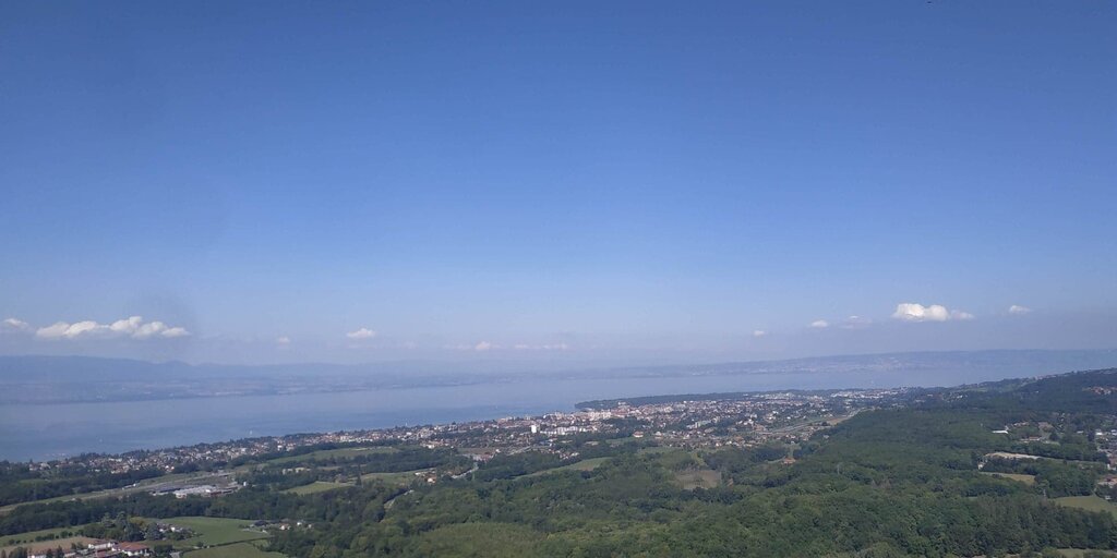
The country is also dotted with hundreds of lakes, most of which were formed by glaciers. The largest is Lake Geneva (Lac Léman), which it shares with France. It's a crescent-shaped lake that the Rhône river flows into and out of. Another major lake is Lake Constance (Bodensee), located in the northeast, bordering Germany and Austria.
Let's review the key geographical features we've covered.
Now, test your knowledge of Switzerland's geography.
Which of the following countries does NOT share a border with Switzerland?
The majority of the Swiss population and its largest cities are located in which geographical region?
From its soaring Alpine peaks to its fertile plateau and numerous lakes, Switzerland's geography is as diverse as it is beautiful.