Discover Bangladesh
Geography
A Land Carved by Rivers
Bangladesh is located in South Asia, nestled between India to its west, north, and east, and Myanmar to its southeast. The entire southern edge of the country opens onto the Bay of Bengal, a massive bay that feeds into the Indian Ocean.
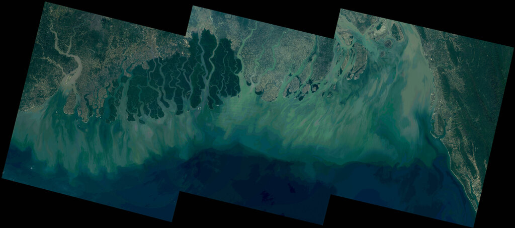
This geography is dominated by water. The country sits on the largest river delta on Earth, a sprawling, fertile plain built up over millennia by the silt of massive rivers. Three great Himalayan rivers converge here: the Padma (a distributary of the Ganges), the Jamuna (the main channel of the Brahmaputra), and the Meghna. Together, they form a complex network of waterways that crisscross the landscape before flowing into the sea.
The entire country is a testament to the power of rivers to shape the land.
The Flat Plain and Rolling Hills
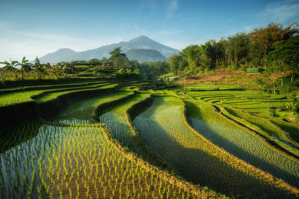
The vast majority of Bangladesh is a low-lying, incredibly flat deltaic plain. This flatness, combined with the river network, defines much of its character. The rivers constantly deposit rich alluvial soil, making the land exceptionally fertile and ideal for agriculture. This is why fields of rice and jute are such common sights.
However, the landscape isn't entirely uniform. In the southeast, near the border with Myanmar, you'll find the Chittagong Hill Tracts, a region of rugged hills and valleys. To the northeast, in the Sylhet Division, there are also rolling hills famous for their tea plantations. These hilly areas provide a striking contrast to the delta's plains.
The Rhythm of the Monsoon
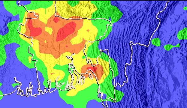
Bangladesh has a tropical climate, which is dominated by the annual monsoon. From roughly June to October, moisture-laden winds from the Indian Ocean bring heavy, torrential rains. This season is the lifeblood of the country's agriculture, replenishing the rivers and watering the crops that feed millions.
The monsoon is a double-edged sword. While it brings life-giving water, the sheer volume of rainfall often leads to widespread flooding. The low-lying terrain makes the country particularly vulnerable, and every year, large parts of the nation are submerged. This cycle of flood and fertility is a fundamental aspect of life in Bangladesh.
A Wealth of Natural Life
Beyond its fertile land, Bangladesh possesses a rich tapestry of natural resources and biodiversity. The abundant water bodies are teeming with freshwater fish, a staple of the local diet.
Perhaps the country's most famous natural wonder is the Sundarbans, the world's largest mangrove forest, which straddles the border between Bangladesh and India. This unique ecosystem, a UNESCO World Heritage site, is a maze of tidal waterways, mudflats, and small islands. It acts as a vital protective barrier against cyclones and tidal surges from the Bay of Bengal.
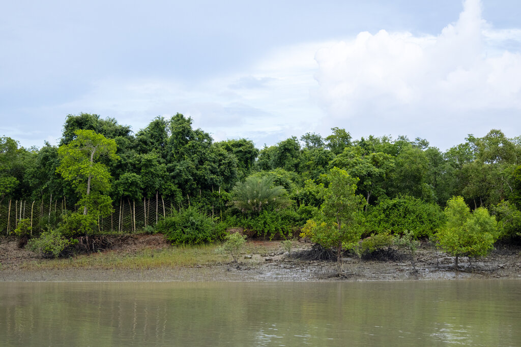
The Sundarbans are also home to an incredible array of wildlife, including many species of birds, crocodiles, and deer. Most famously, it is one of the last remaining habitats of the majestic Royal Bengal Tiger, a powerful symbol of the nation's natural heritage.
Now, let's test your understanding of Bangladesh's unique geography.
What is the dominant geographical feature of Bangladesh?
The Chittagong Hill Tracts and the hills of the Sylhet Division provide a significant contrast to the majority of Bangladesh's landscape.
Understanding this dynamic landscape of rivers, plains, and monsoons is the first step to understanding Bangladesh itself.