Discover Austria
Austria's Physical Geography
The Lay of the Land
Austria is a landlocked country right in the heart of Central Europe. This position has historically made it a crossroads for trade and culture. It doesn't have a coastline, but it shares its borders with eight different nations, creating a diverse blend of neighboring influences.
| Direction | Neighboring Country |
|---|---|
| North | Germany, Czech Republic |
| East | Slovakia, Hungary |
| South | Slovenia, Italy |
| West | Switzerland, Liechtenstein |
The Mighty Alps
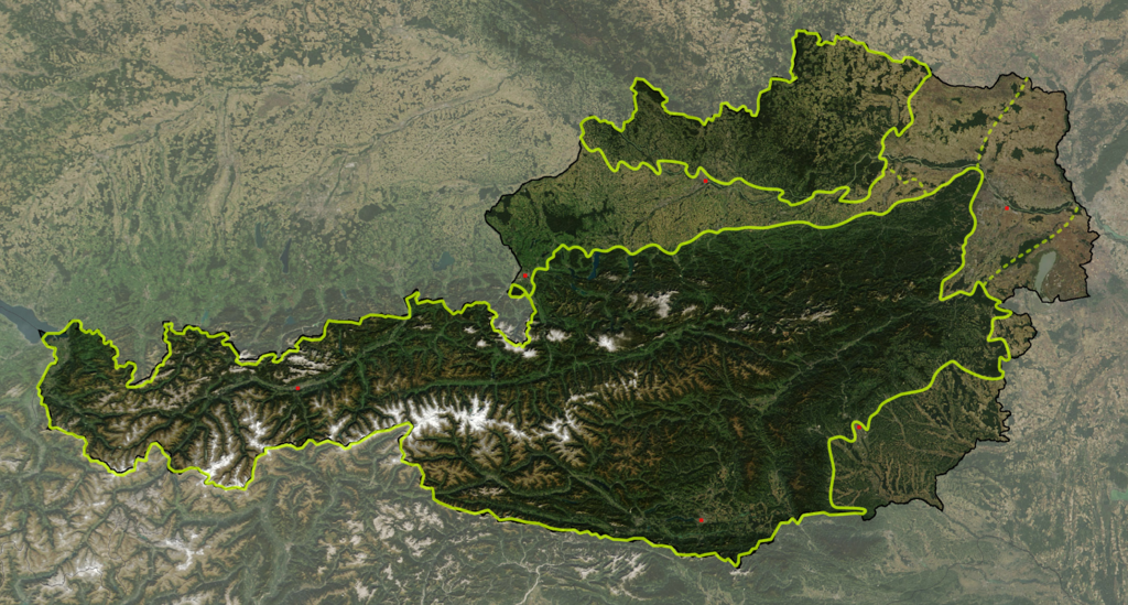
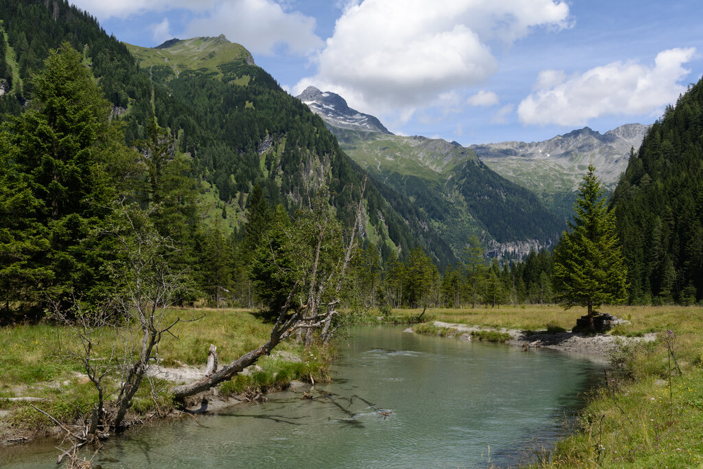
You can't talk about Austria's geography without talking about the Alps. These majestic mountains cover nearly two-thirds of the country, defining its landscape and lifestyle. The Austrian Alps are part of the larger Eastern Alps and are generally divided into three main ranges that run parallel to each other from west to east.
- Northern Limestone Alps: These are rugged, steep ranges running through the northern part of Austria.
- Central Eastern Alps: The highest and most prominent range, located in the middle. This is where you'll find Austria's tallest peak, the Grossglockner.
- Southern Limestone Alps: This range forms part of the border with Italy and Slovenia.
These ranges are not just scenic backdrops; they create distinct valleys and basins where most of the population lives. They also play a huge role in the country's climate and are central to its tourism industry.
The Danube's Journey
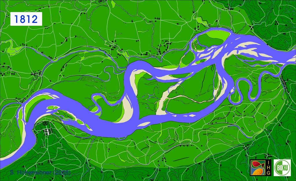
While the Alps dominate the south and west, the Danube River is the key feature of the north and east. It's Europe's second-longest river and Austria's most important waterway. The river flows from west to east, entering near the German border and exiting at the Slovakian border, passing through the capital city of Vienna along the way.
The Danube valley creates a fertile corridor that has been vital for settlement, agriculture, and trade for centuries. The river connects Austria to its eastern neighbors and provides a crucial shipping route to the Black Sea.
Five Distinct Regions
Beyond the broad strokes of mountains and rivers, Austria can be broken down into five primary geographical regions, each with its own unique character.
The Eastern Alps: This is the largest region, covering about 62% of the country. It's the mountainous heartland we've already discussed.
Alpine and Carpathian Foothills: A belt of rolling hills and low mountains that lies north of the main Alpine chain.
Eastern Foothills and Pannonian Low Country: In the far east, the landscape flattens out into a plain that is part of the much larger Pannonian Basin, extending into Hungary. This is Austria's primary agricultural area.
The Northern Mountain Area: North of the Danube lies a granite plateau known as the Bohemian Massif. This is a much older and more eroded mountain range than the Alps.
The Vienna Basin: A small, low-lying basin that separates the Alps from the Carpathians, with the capital city of Vienna located within it.
Together, these varied landscapes make Austria a country of dramatic contrasts, from high peaks to flat, fertile plains.
Now, let's test your knowledge on the physical geography of Austria.
What proportion of Austria's landscape is covered by the Alps?
What is the primary significance of the Danube River for Austria?
This combination of mountains, rivers, and distinct regional zones is the foundation upon which Austria's history and culture have been built.