Digital Reality Capture Explained
Introduction to Reality Capture
Digitizing the Real World
We take pictures and videos to capture moments, but what if we could capture entire objects and spaces in three dimensions? That’s the core idea behind reality capture. It’s the process of creating a precise digital copy of a physical object, a room, or even a sprawling landscape.
The result is a digital model you can explore, measure, and modify on a computer. This digital copy is often called a "digital twin" because it acts as a virtual counterpart to the real thing. This technology allows us to interact with places and objects remotely, analyze them in new ways, and preserve them for the future.
digital twin
noun
A virtual model designed to accurately reflect a physical object, process, or system. It can be used for simulation, analysis, and monitoring.
How It's Done
Creating a digital twin requires special tools and techniques. While the technology can get complex, the main approaches are surprisingly straightforward in principle. Let's look at three common methods.
Photogrammetry: Building 3D from 2D
Photogrammetry is the science of making measurements from photographs. In reality capture, this means taking many overlapping photos of an object or area from different angles. Special software then analyzes these photos, finds common points, and calculates their positions in 3D space to build a detailed model. It’s a bit like how our two eyes give us depth perception, but on a much larger scale.
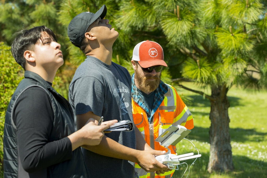
This method is incredibly versatile. You can use anything from a professional camera to the one in your smartphone. It’s excellent for capturing color and texture, making it popular for creating realistic models of buildings, landscapes, and cultural artifacts.
Laser Scanning: Painting with Light
Laser scanning, often using a technology called LiDAR (Light Detection and Ranging), is all about precision. A scanner sends out millions of laser pulses and measures the time it takes for them to bounce off surfaces and return. Each measurement creates a single point in 3D space.
Together, these millions of points form a “point cloud,” which is a dense and incredibly accurate 3D map of the scanned area. Laser scanners are fast and work well over large distances, making them ideal for surveying job sites, mapping building interiors, and documenting complex industrial facilities.
point cloud
noun
A large collection of individual points in a three-dimensional coordinate system, representing the external surface of an object or environment.
3D Scanning: Capturing the Details
While photogrammetry and laser scanning are great for large spaces, other types of 3D scanning excel at capturing smaller objects with high detail. These scanners often use structured light, projecting a pattern of light onto an object and using a camera to record how the pattern deforms over the object’s surface. This data is then used to reconstruct its 3D shape.
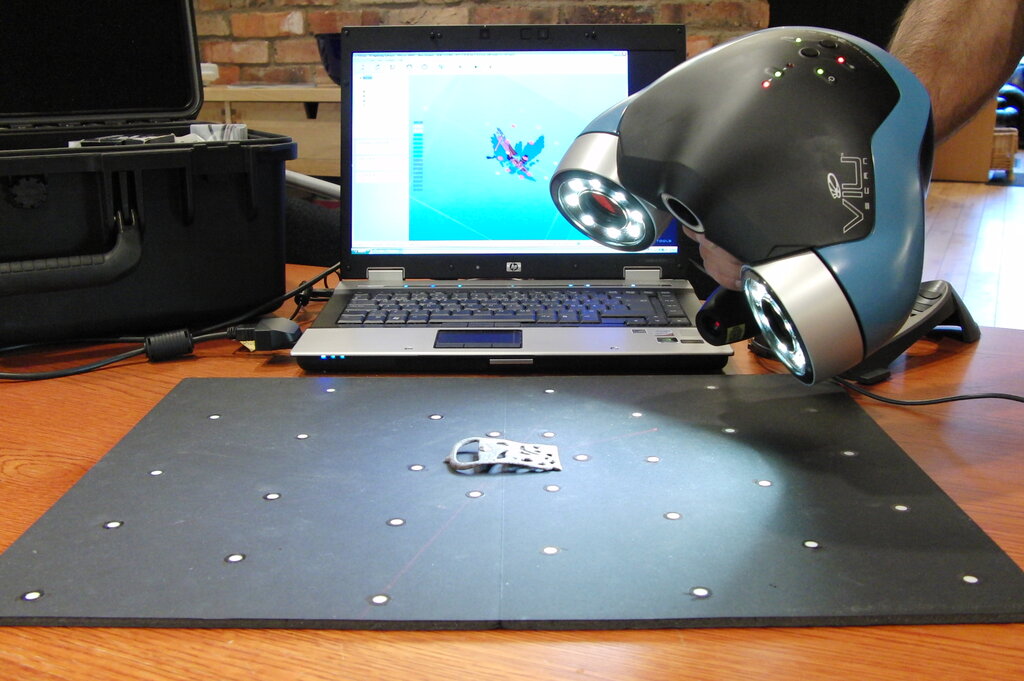
This technique is perfect for things like reverse engineering machine parts, digitizing museum artifacts for virtual exhibits, or creating custom medical implants.
From the Field to the Screen
No matter the method, the overall process of reality capture follows a similar path. It’s a journey that takes data from the physical world and transforms it into a useful digital asset.
| Step | Action | Description |
|---|---|---|
| 1. Data Capture | Scanning or Photographing | The first step is to collect the raw data on-site using a scanner or camera. |
| 2. Data Processing | Aligning and Merging | Software is used to process the raw scans or photos, cleaning up errors and stitching the data together into a cohesive model. |
| 3. Model Creation | Generating the Final Output | The processed data is turned into a final 3D model, which could be a point cloud, a mesh, or another format depending on the need. |
This workflow is transforming countless industries. Architects use these models to design renovations with perfect measurements. Engineers can check construction progress against original plans. And historians can digitally preserve ancient sites that are at risk of disappearing.
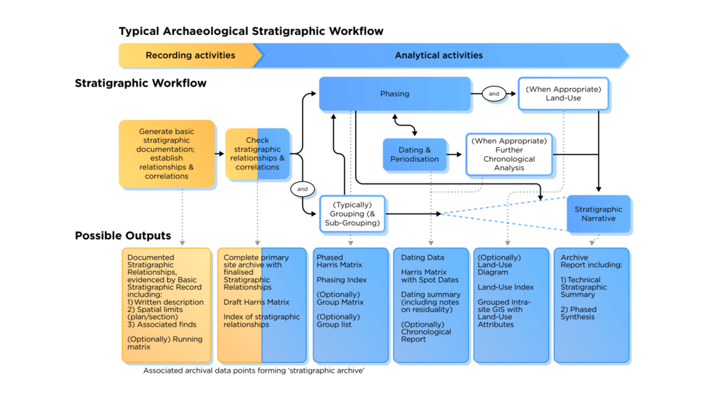
By bridging the gap between the physical and digital, reality capture gives us powerful new ways to understand, manage, and preserve the world around us.