Crafting Mobility Data Stories
Introduction to Mobility Data
The Digital Footprint of Movement
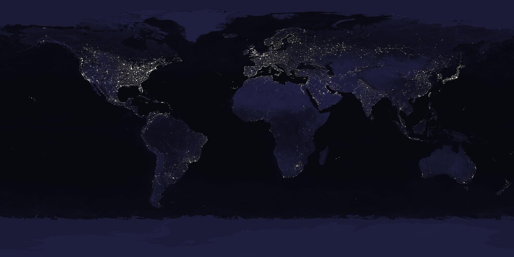
Every day, billions of people and goods travel from one place to another. This movement, once invisible on a large scale, now leaves a digital trail. This trail is called mobility data. It's the information generated by our movements through the world, captured by the devices we carry and the systems we use.
Think of it as the collective footprint of a city or region. This data comes in many forms:
- GPS Traces: Your phone's navigation app creates a precise path of your journey, point by point.
- Public Transit Records: Each tap of a transit card logs a trip, showing where and when people enter and exit the system.
- Mobile Phone Data: Even without GPS, your phone communicates with cell towers. This data can show your general location and movement patterns as you travel between different tower zones.
- Ride-Sharing and Delivery Apps: These services generate detailed data on trip origins, destinations, routes, and times.
- Connected Vehicles: Modern cars and delivery trucks often collect and transmit data about their location, speed, and status.
Putting the Data to Work
Understanding how people move is crucial for building better, more efficient communities. Mobility data provides the raw material for these insights, with applications across many sectors.
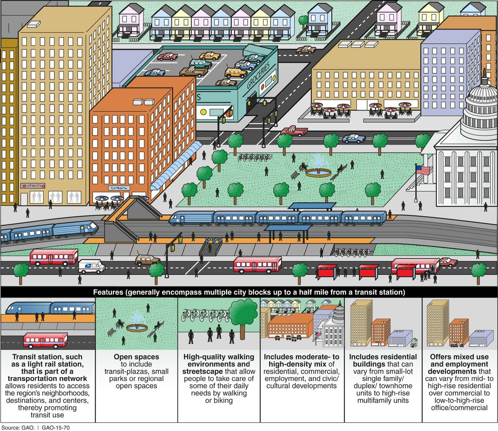
In urban planning, this data helps answer vital questions. Where should a new bus line go to serve the most people? Is a proposed highway necessary, or would a new bike lane be more effective? By analyzing travel patterns, planners can make decisions based on evidence, not just assumptions, leading to cities that are easier and more pleasant to navigate.
For traffic management, the impact is immediate. Real-time data from GPS and connected cars feeds into navigation apps, helping drivers avoid congestion. City traffic managers use this information to adjust traffic light timing dynamically, clear accidents faster, and manage flow during major events. The goal is to keep traffic moving smoothly and reduce delays.
Mobility data also plays a surprising role in public health. During an outbreak, health officials can use anonymized data to understand how a disease might spread by tracking population movements. It also helps in planning the location of new hospitals or clinics by identifying areas where people have long travel times to access healthcare.
The Challenges
While powerful, mobility data comes with significant challenges that must be managed carefully.
The most critical challenge is privacy. Mobility data is deeply personal. If not handled correctly, it can reveal where a person lives, works, and spends their time.
To protect individuals, data must be anonymized and aggregated. Anonymization involves stripping out personally identifiable information, like a name or phone number. Aggregation means combining data from many individuals to show broad trends rather than individual journeys. Striking the right balance between usefulness and privacy is a constant and vital effort.
Data quality and bias are also major hurdles. A dataset might overrepresent certain demographics, such as smartphone users, while underrepresenting others, like the elderly or low-income individuals. If planners rely on this biased data, they might build infrastructure that serves one group at the expense of another. Ensuring data is accurate, complete, and representative of the entire population is essential for equitable decision-making.
Which of the following best defines mobility data?
An urban planner wants to understand commuter patterns to propose a new bus line. Which application of mobility data does this scenario represent?
Mobility data offers a new lens through which to see and shape our world. By understanding its forms, applications, and challenges, we can harness its power responsibly.