Craft Your Centered Compass Decision Framework
Ancient Mapping Techniques
Maps of Reed and Rock
Long before satellites and GPS, ancient civilizations created sophisticated maps to understand and organize their world. These weren't just simple sketches; they were practical tools for everything from mining gold to navigating the seas. Each culture developed unique methods based on the materials they had and the problems they needed to solve.
One of the earliest and most remarkable examples comes from ancient Egypt. The Turin Papyrus Map, created around 1150 BCE, is considered the world's oldest surviving topographical and geological map. It doesn't show an entire country, but rather a specific 15-kilometer stretch of a wadi in the Eastern Desert.
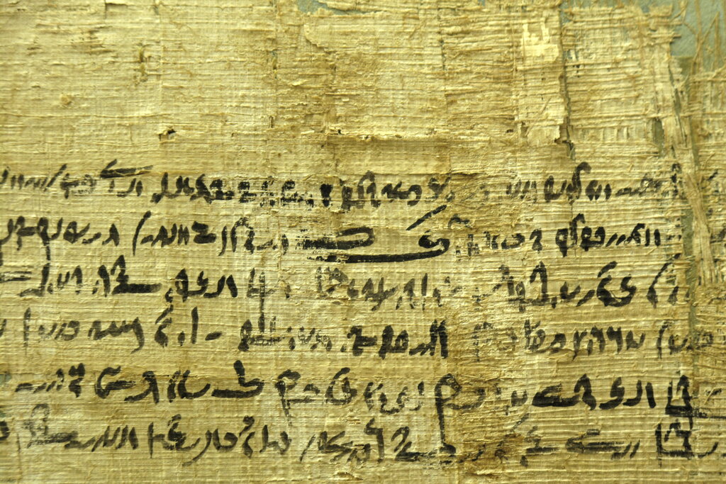
The map is incredibly detailed. It uses different colors to show various rock types and highlights the locations of a gold mine, a quarry for a special kind of decorative stone, and the settlement for the workers. It even includes notes about the destinations of roads and the quality of the stone. This wasn't a map for exploring unknown lands; it was a highly specific guide for a state-sponsored quarrying expedition, designed to help officials make informed decisions about resource management.
Mapping the Heavens
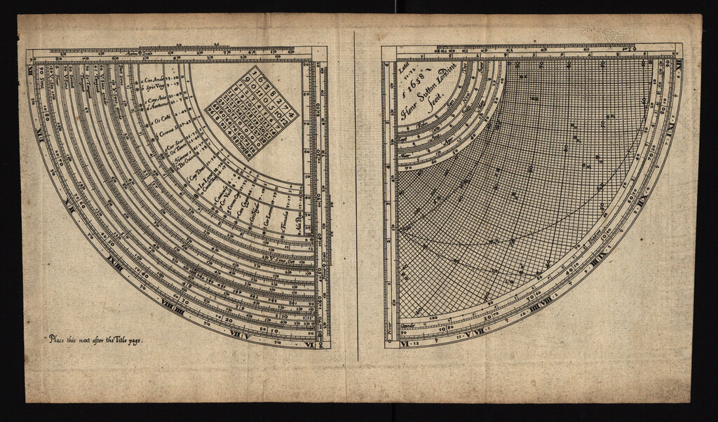
The ancient Greeks took a different approach, looking to the sky to guide their way on Earth. While they created terrestrial maps, their most complex creations were designed to map the cosmos. The most famous example is the Antikythera mechanism, a complex astronomical calculator from the 2nd century BCE.
Discovered in a shipwreck, this intricate device of bronze gears and dials was an ancient analog computer. It didn't map land, but it mapped time and the movement of celestial bodies.
By turning a crank, a user could predict the positions of the sun, moon, and planets, as well as lunar and solar eclipses. This was crucial for navigation, allowing sailors to orient themselves by the stars. It also helped in organizing society by tracking calendars and setting the dates for religious festivals and events like the ancient Olympic Games. The Antikythera mechanism shows that for the Greeks, a key part of mapping their world was understanding their place in the universe.
Cartography on Silk
Meanwhile, in ancient China, mapmakers were using a different material with incredible results: silk. Silk was lightweight, durable, and easy to write on, making it perfect for creating detailed, portable maps. Three silk maps discovered in a Han Dynasty tomb dating to the 2nd century BCE showcase the advanced state of Chinese cartography.
These maps are impressively accurate for their time. One is a topographical map showing mountains, rivers, and administrative boundaries with remarkable precision. Another is a military map, detailing garrisons and defensive positions. Unlike many Western maps of the era, which were often more artistic than functional, Chinese maps were practical tools for governance and military strategy.
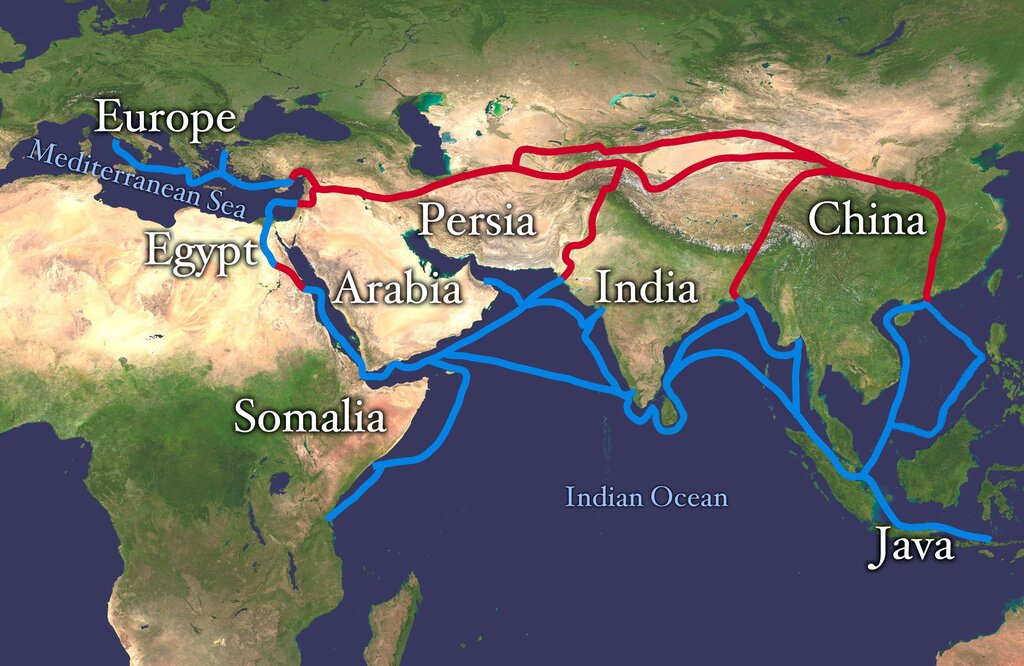
They often combined terrestrial information with celestial observations, reflecting a worldview where events on Earth were connected to the heavens. By precisely mapping their territory, Chinese dynasties could better manage their resources, defend their borders, and plan infrastructure projects, making informed decisions that shaped the empire.
What was the primary purpose of the ancient Egyptian Turin Papyrus Map?
The Antikythera mechanism, an ancient Greek invention, was a complex calculator used primarily for what purpose?
From Egyptian papyrus to Chinese silk, these ancient tools reveal how humans have always sought to visualize their world to navigate, plan, and build.