Bulgaria An Overview
Geography
The Lay of the Land
Bulgaria's geography is a story of contrasts, neatly divided into distinct regions. In the north, stretching from the Serbian border to the Black Sea, lies the Danubian Plain. This vast, fertile area is the country's breadbasket. Bordered to the north by the mighty Danube River, the plain is characterized by rolling hills and rich black soil, ideal for growing wheat, corn, and sunflowers.
South of the Danubian Plain is the Upper Thracian Plain, another significant agricultural heartland. It's one of the most expansive flatlands in the country, irrigated by the Maritsa River and its tributaries. This plain enjoys a milder climate, making it perfect for cultivating vegetables, fruits like peaches and grapes, and even rice.
Mountains and Massifs
Running through the center of the country like a spine is a formidable mountain range. Known as the Balkan Mountains in English, Bulgarians call them Stara Planina, which translates to "Old Mountain." This range stretches over 550 kilometers from the west to the Black Sea coast in the east, effectively cutting the country in two.
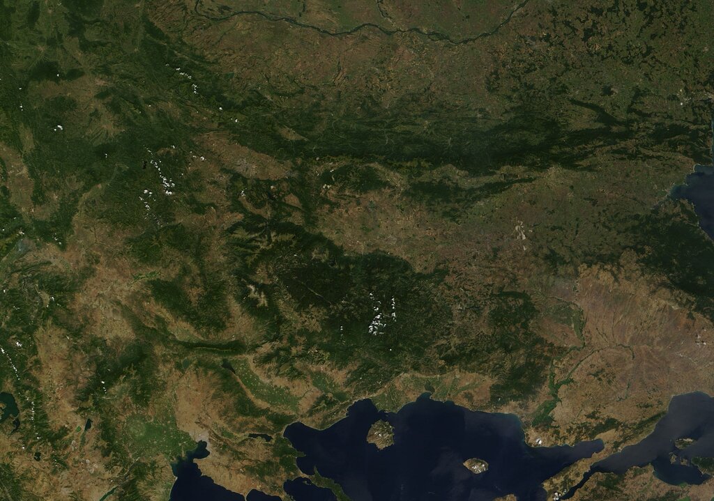
The country's southern and southwestern regions are dominated by the rugged Rila-Rhodope massif. This area includes several distinct mountain ranges, most notably the Rila and Pirin Mountains. Here you'll find the highest peaks not just in Bulgaria, but in the entire Balkan Peninsula. Musala, in the Rila Mountains, stands at 2,925 meters (9,596 feet), making it the highest point between the Alps and the Caucasus.
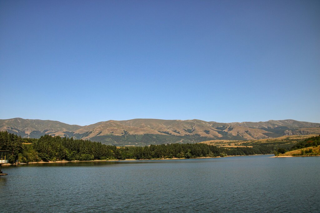
These mountainous zones are crucial for their natural resources, including timber and water. They are also centers for tourism, offering skiing in the winter and hiking in the summer.
Two Distinct Climates
The Balkan Mountains act as a significant climatic barrier. They block the cold winter winds sweeping down from the north, creating two very different climate zones.
North of the mountains, the Danubian Plain experiences a continental climate. This means hot summers and cold, snowy winters. Temperatures can drop significantly, and the Danube River sometimes freezes over.
South of the range, the Thracian Plain and the areas stretching towards Greece and Turkey have a transitional climate with strong Mediterranean influences. Winters here are much milder, and summers are hot and dry. This climatic divide has a profound impact on agriculture, defining which crops can be grown in each region.
The Balkan Mountains divide Bulgaria into a northern continental climate zone and a southern Mediterranean-influenced zone.
Let's review the key geographical features of Bulgaria.
What is the Bulgarian name for the mountain range that runs through the center of the country, acting as a climatic barrier?
A farmer wants to grow crops like peaches and grapes that thrive in a milder climate with hot, dry summers. Which region would be most suitable?
This combination of fertile plains and high mountains creates a landscape of remarkable diversity within a relatively small country.