Ancient Egyptian Civilization Unveiled
Geography of Ancient Egypt
The River of Life
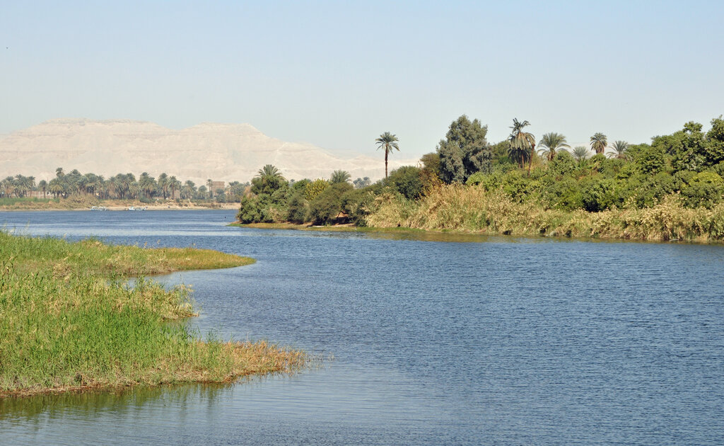
The ancient historian Herodotus famously called Egypt “the gift of the Nile,” and for good reason. Without this river, one of the world's greatest civilizations would have been impossible. The river carved a long, narrow strip of life through an otherwise vast and hostile desert. The Egyptians themselves saw this duality in their landscape.
They called the fertile floodplain along the river’s banks Kemet, the Black Land, named for the dark, rich silt deposited by the river’s annual flood. Everything else was Deshret, the Red Land—the sun-scorched desert that stretched for hundreds of miles on either side. This stark contrast was the defining feature of their world.
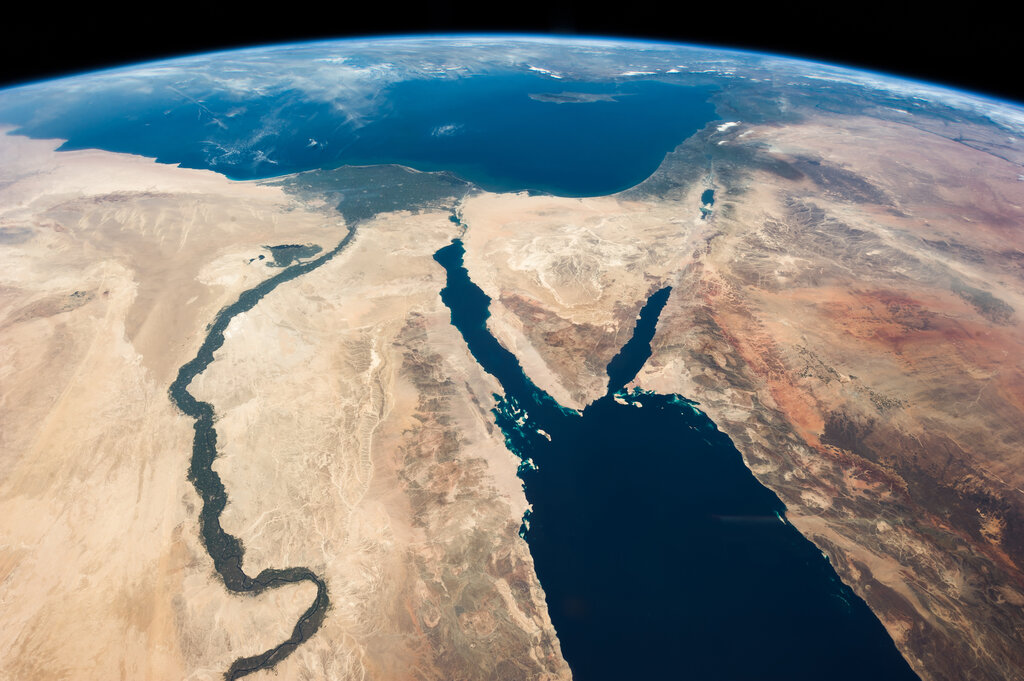
The key to Egypt's survival and prosperity was the Nile's annual flood, or inundation. Every year, from June to September, heavy summer rains in the highlands of Ethiopia swelled the river. It spilled over its banks and covered the entire floodplain. This wasn't a destructive event, but a life-giving one. When the waters receded, they left behind a thick layer of incredibly fertile black mud.
This silt renewed the soil each year, making it possible to grow abundant crops without depleting the land's nutrients. The flood was also remarkably predictable, which allowed the Egyptians to plan their entire year around it. The river also served as the main highway, connecting settlements from the southern region of Upper Egypt to the marshy northern delta of Lower Egypt. Boats carrying goods, people, and massive stones for building projects traveled up and down the river with ease, unifying the kingdom.
The Nile's annual flood wasn't a disaster; it was the foundation of a civilization, delivering a fresh layer of fertile soil every single year.
Working the Land
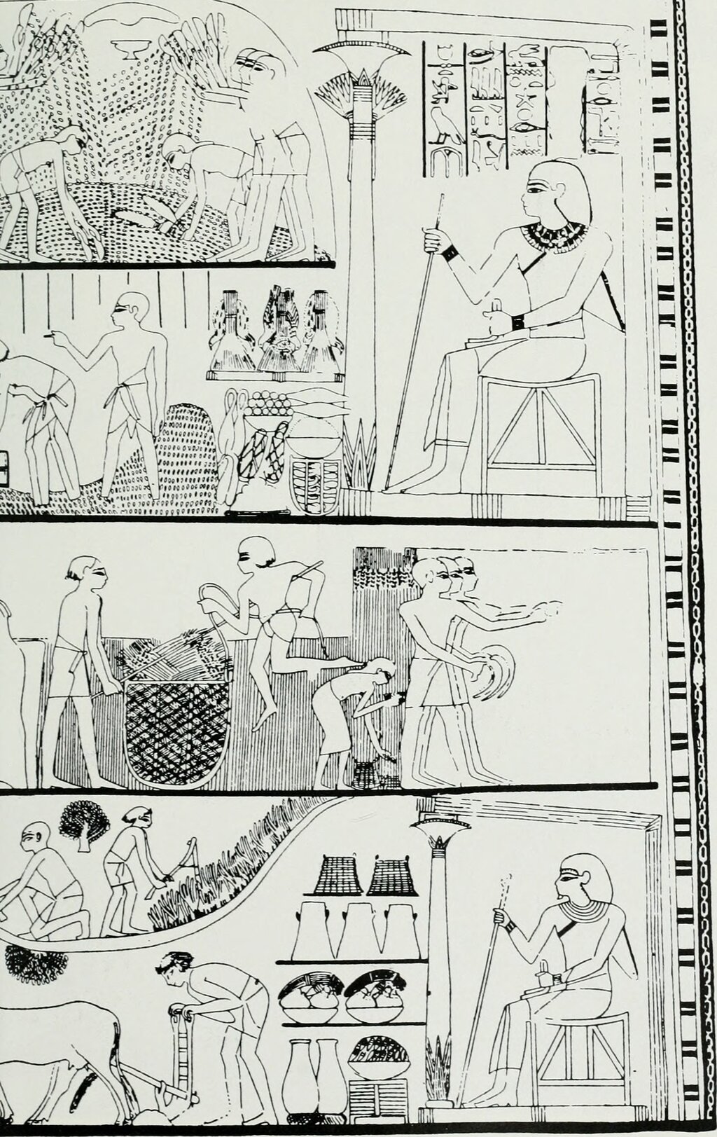
The Egyptians organized their lives around the river's rhythm, dividing their year into three seasons based on the agricultural cycle.
| Season | Egyptian Name | Approximate Months | Agricultural Activity |
|---|---|---|---|
| Inundation | Akhet | June - September | Fields are flooded. Farmers work on building projects. |
| Growing | Peret | October - February | Water recedes. Fields are plowed and sown with crops. |
| Harvest | Shemu | March - May | Crops are harvested, threshed, and stored. |
During the growing season, farmers didn't just rely on the leftover moisture. They developed clever irrigation techniques to manage the water. They built networks of canals and dikes to trap floodwater in large basins. This water could then be released to irrigate fields further from the river, extending the reach of the fertile land.
To lift water from the canals to the fields, they invented a tool called the shaduf. It was a simple but effective counterweight system—a long pole balanced on a post, with a bucket on one end and a heavy weight on the other. This device made it much easier to water crops during the dry season, ensuring a consistent food supply.
A Natural Fortress
The same Red Land that limited settlement also provided Egypt with incredible security. To the east and west, the vast Sahara Desert formed a nearly impenetrable barrier against invasion. Any army trying to cross it would face extreme heat, a lack of water, and endless sand.
To the south, the Nile was interrupted by a series of rocky rapids called cataracts. These made it very difficult for large ships to navigate, protecting Egypt's southern border with Nubia. To the north lay the Mediterranean Sea, and to the northeast, the Sinai Peninsula offered another stretch of harsh desert. Surrounded by these natural defenses, Egyptian civilization was able to develop for centuries with relatively little outside interference.
Gifts of the Earth
Beyond fertile soil, the Egyptian landscape provided other crucial resources. The cliffs along the Nile Valley were a source of limestone and sandstone, the primary materials used to build pyramids and temples. In the deserts, miners found granite, basalt, and alabaster for statues and sarcophagi.
These arid regions were also rich in valuable metals and minerals. The Eastern Desert and Sinai held deposits of copper, gold, and tin, which were essential for making tools, weapons, and jewelry. They also quarried semi-precious stones like turquoise, carnelian, and amethyst.
One of the most unique resources came from the marshy Nile Delta. Here grew thick stands of the papyrus plant. The Egyptians ingeniously processed this reed into a durable, paper-like material. Papyrus became the surface for writing everything from religious texts to government records and letters, allowing their knowledge and culture to be preserved for millennia.
A quiz is a great way to check your understanding of the material. Let's see what you've learned about the geography of ancient Egypt.
The ancient Egyptians referred to the fertile, dark soil of the Nile floodplain as Kemet. What did they call the surrounding desert?
What was the primary reason the annual inundation (flooding) of the Nile was so vital to Egyptian agriculture?
The geography of ancient Egypt was more than just a backdrop; it was the force that shaped nearly every aspect of its civilization, from farming and travel to defense and art.