Advancing Monsoon Dynamics
Monsoon Onset Mechanisms
The Pull of the Plains
By early June, the vast northern plains of India and the Tibetan plateau have been baking under the intense summer sun for months. This prolonged heating creates a powerful low-pressure trough that deepens and intensifies. Think of it as a giant thermal vacuum. The land heats up much faster than the surrounding oceans, causing the air above it to expand, become lighter, and rise. This upward movement of air reduces the atmospheric pressure at the surface, creating a zone that actively pulls in air from cooler, high-pressure areas.
This isn't just a minor pressure difference. It's a continental-scale phenomenon that becomes the primary engine for the approaching monsoon. The low-pressure area over northwest India becomes so pronounced that it disrupts global wind patterns, reaching across the equator to attract air from the southern hemisphere. This sets the stage for a massive, cross-hemispheric transfer of moisture.
A Journey Across the Ocean
The air that answers this call originates as South-East trade winds over the warm subtropical waters of the southern Indian Ocean. For months, these winds blow steadily over a vast expanse of warm water, picking up an enormous amount of moisture. Their journey is long and unhindered, allowing them to become completely saturated.
As these moisture-laden winds approach the equator, they are drawn northward by the intense low pressure in India. But crossing the equator triggers a crucial change in their direction. Due to the Earth's rotation, a force known as the comes into play. In the Southern Hemisphere, this force deflects moving objects to the left. Once the winds cross into the Northern Hemisphere, the deflection switches to the right.
This rightward turn transforms the South-East trade winds into the South-West monsoon winds. Now aimed squarely at the Indian subcontinent, they continue their journey, supercharged with moisture and energy.
The Monsoon Arrives
The arrival of these winds is not a gentle affair. They rush into the low-pressure zone with great force, typically hitting the southern tip of the Indian peninsula in the first week of June. This sudden onset, known as the "burst" of the monsoon, is characterized by a dramatic increase in rainfall and violent thunderstorms.
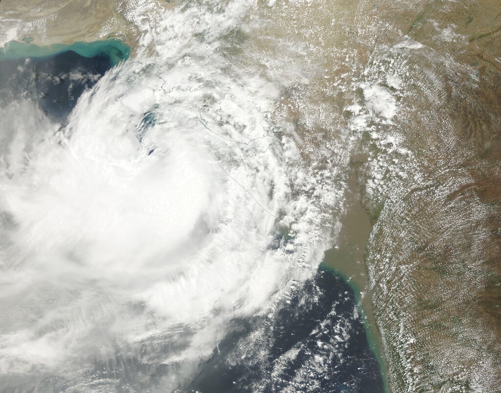
These winds travel at an average velocity of 30 kilometers per hour. As they move inland, they are forced to rise over the terrain, particularly the mountain range. This forced ascent, called orographic lift, causes the air to cool rapidly, condensing the vast amount of moisture it carries and resulting in extremely heavy rainfall along the windward side of the mountains.
The winds cross the equator, turn right, and arrive as the South-West monsoon, delivering life-giving rain to the subcontinent.
From this initial landfall, the monsoon gradually progresses northward, splitting into two main branches: the Arabian Sea branch and the Bay of Bengal branch. Each branch follows a different path, bringing rain to the rest of the country over the next month and a half.
Ready to test your knowledge? Let's see what you've learned about how the monsoon begins.
What is the primary cause of the intense low-pressure trough that forms over northern India before the monsoon?
The winds that eventually become the South-West monsoon originate as which of the following?
Understanding these mechanisms reveals the monsoon not as a simple weather event, but as a massive, interconnected system driven by solar energy, planetary rotation, and geography.