Advanced Urban Morphology and Spatial Analysis
Conzenian Plan Analysis
Deconstructing the Urban Form
To truly understand a city, we need to look beyond its surface. The urban landscape is not a single, static creation but a layered document written over centuries. The historico-geographical approach, pioneered by geographer M.R.G. Conzen, provides a powerful method for reading this document. It moves past simple map descriptions to a rigorous analysis of the city's physical structure as a historical artifact.
Site planning involves arranging structures on the land and shaping spaces between them.
Conzen's method is built on a tripartite division of urban form. He argued that to analyse a city properly, you must separate it into three distinct, though interconnected, elements:
- Town Plan: This is the city's skeleton. It comprises the street system, the plots of land (also called lots or parcels), and the plan of the buildings in their ground-floor arrangement.
- Building Fabric: These are the actual three-dimensional buildings that occupy the plots. This includes their age, architectural style, and construction materials.
- Land Utilisation: This refers to the function of the land and buildings. Is a plot used for residential, commercial, industrial, or institutional purposes?
These three elements evolve at different speeds. Street layouts are incredibly persistent and can last for a thousand years. The building fabric changes more frequently, perhaps every one or two hundred years. Land use can change in a matter of decades. This differential rate of change creates the complex historical layers we see in cities today.
The Life Cycle of a Plot
Urban plots are not static rectangles on a map; they are dynamic spaces that evolve. Conzen introduced the concept of the to explain the typical development pattern of plots, particularly those originating in the medieval period.
A typical cycle begins with a long, narrow burgage plot, originally intended for a house at the street front and a garden or workshop area to the rear. Over time, as population density increases, this open rear space gets filled in with additional structures—workshops, cottages, extensions. This process of infilling continues until the plot is almost entirely built over. Eventually, the collection of aged buildings may be demolished in a single redevelopment project, clearing the plot and starting the cycle anew. This cyclical process of infilling and redevelopment is a key driver of change in the building fabric within the fixed boundaries of the town plan.
Ghosts in the Grid
Why do cities have the shapes they do? Often, the answer lies in features that no longer exist. Conzen termed these historical constraints the 'morphological frame'. This is the idea that earlier, highly resistant physical structures create a framework that dictates the pattern of all subsequent development, long after they have vanished.
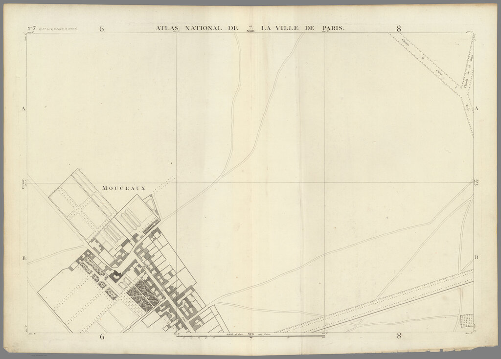
Think of the defensive walls of a medieval city. Even if they were torn down in the 18th century, the road that once ran alongside them often becomes a modern ring road. The plots laid out within those walls remain smaller and more irregular than those in the suburbs built on former farmland outside. The boundary of an old agricultural estate or a forgotten stream can fossilise into a property line or street that persists for centuries.
In analysis, morphologists group related features into 'plan units'—areas of a town that were laid out at the same time and share a distinct grain. For example, a Roman fort, a medieval market town extension, and a 19th-century industrial suburb are all distinct plan units within a single city. Each unit contains 'element complexes', which are the characteristic associations of streets, plots, and buildings within that unit. By identifying these units and their underlying frames, we can perform a diachronic cartographic analysis, peeling back the layers of the city map to understand how past decisions continue to shape the present urban form.
Ready to test your understanding of the Conzenian approach?
According to M.R.G. Conzen's historico-geographical approach, what are the three fundamental elements of urban form?
Which of Conzen's three elements of urban form is generally the most persistent and changes the slowest over time?
This structured, historical approach allows urban planners and geographers to understand the deep-seated logic of a city's layout, providing a crucial foundation for any future planning or conservation efforts.